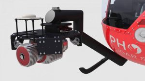
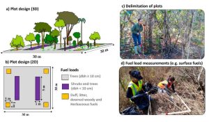
The high dimensionality of data generated by Unmanned Aerial Vehicle(UAV)-Lidar makes it difficult to use classical statistical techniques to design accurate predictive models from these data for conducting forest inventories. Machine learning techniques have the potential to solve this problem of modeling forest attributes from remotely sensed data. This work tests four different machine learning approaches – namely Support Vector Regression, Random Forest, Artificial Neural Networks, and Extreme Gradient Boosting – on high-density GatorEye UAV-Lidar point clouds for indirect estimation of individual tree dendrometric metrics (field-derived) such as diameter at breast height, total height, and timber volume.

UAV LiDAR and Hyperspectral Systems
- Archeology
- Environmental Engineering
- Forestry
- Industry
- LiDARMill
- Mining
- Oil and Gas
- Precision Agriculture
- Product
- RANGER-LR
- Research
- ResourceType
- Scout
- SpatialExplorer
- Watershed Science
- Whitepaper
Date: May 21, 2020


