miniRANGER-3 LITE

KEY FEATURES

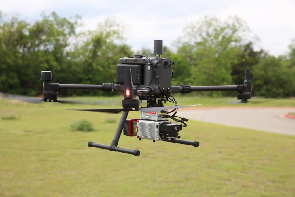
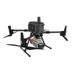
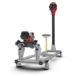
AIRCRAFT OPTIONS


PRIMARY APPLICATIONS


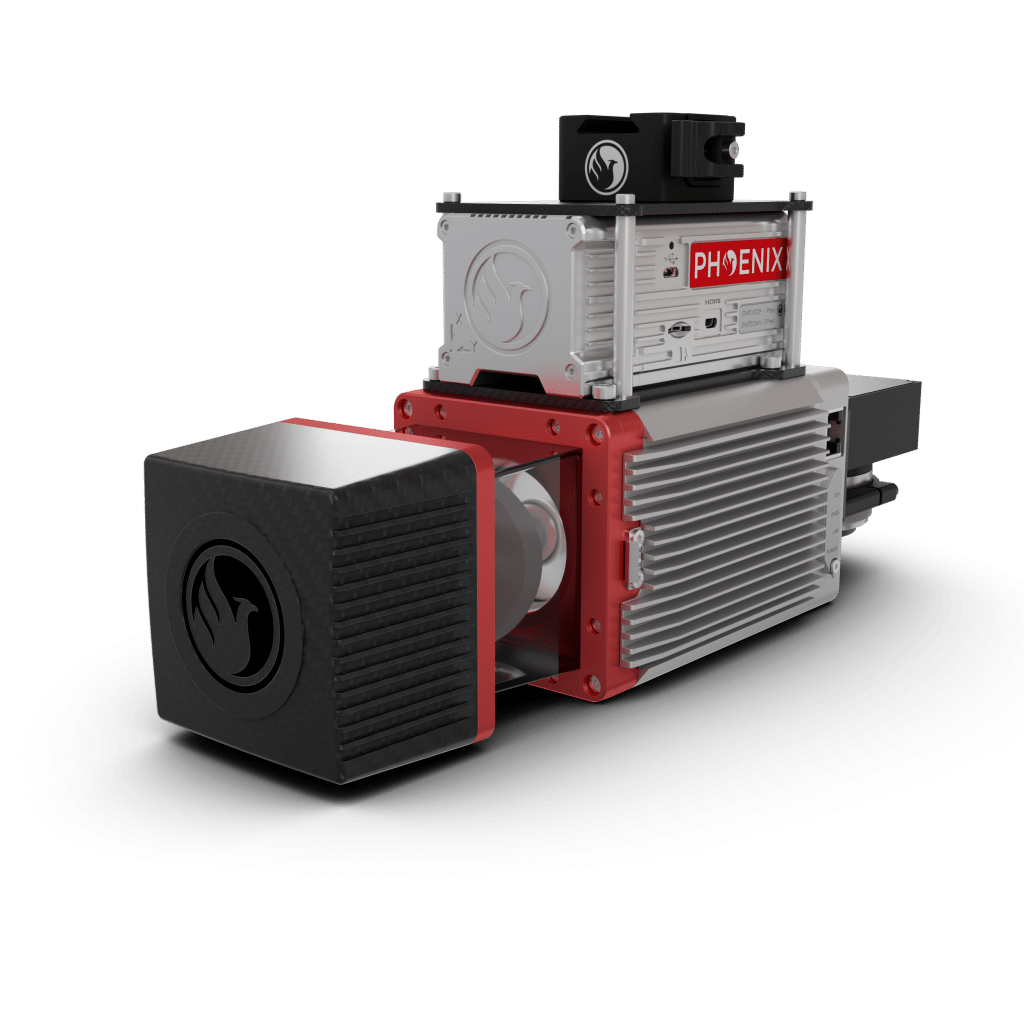
The MiniRANGER-3 LITE is designed to provide survey-grade LiDAR data and imagery (optional) on an ultra-lightweight platform. Packed with options, the MiniRANGER-3 LITE leverages Phoenix’s years of experience and industry-leading LiDARMill software platform to provide a seamless user experience.
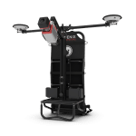
Optional mobile and backpack mounting options along with several imaging sensors provide the flexibility required to address every application. With the photogrammetry package, operators of mid-size multirotors can now simultaneously acquire survey-grade LiDAR data and high resolution 61 MP RTK photogrammetry at up to 100 m operating flight altitude.
Full specifications
With A6K-Lite: 38 W (typical)
Accessories & Options
DIMENSIONS (mm)
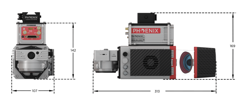
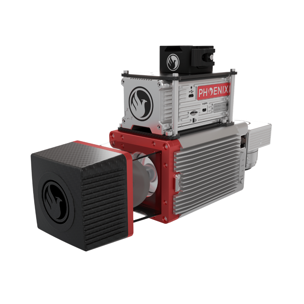
FRONT/LEFT
FRONT
Laser Scanner
LEFT
USB
SD Card
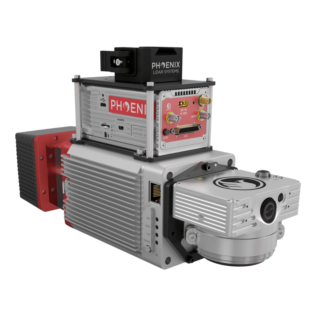
REAR/RIGHT
REAR
Power Button
Status LED
GPS Antenna 1-2
Air NavBox
WiFi
Camera Mounting
RIGHT
Accessory Mounting


LiDARMill enables surveying teams to take advantage of precision laser mapping without investing in expensive software & training.