2-5 cm @ 80 m
RMSEz System Accuracy
4.5 cm @ 80 m
RMSDz Instraswath Precision
80 m
Max AGL @ 10% Reflectivity
1.8 kg
Weight
360°
Field of View
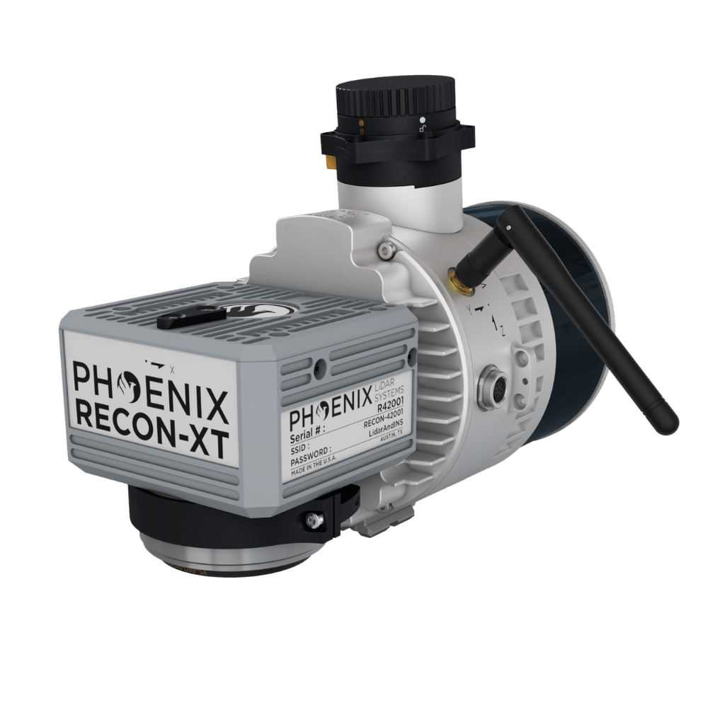
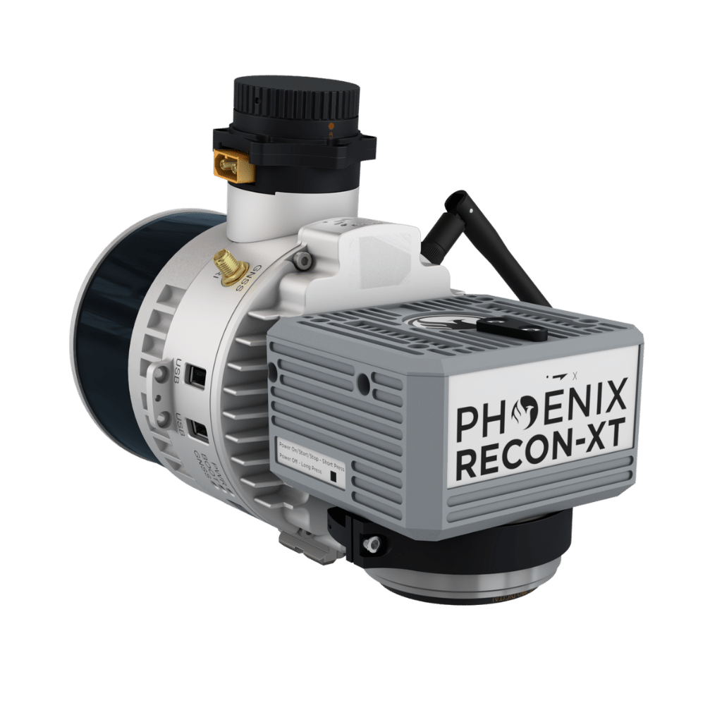
RECON XT
0°
Scan Angle(s)
RECON XT
KEY FEATURES

AIRCRAFT OPTIONS

UAV


VEHICLE
SLAM
PRIMARY APPLICATIONS

Utilities

Rail

Open Pit Mining

Agriculture & Forestry

Stockpile Volumetrics

Construction
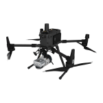
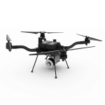
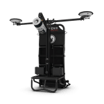
The RECON-XT is the ultimate value, entry-level system for the DJI Matrice 350 and Freefly Systems Astro Max. A strong fit for smaller scan areas and teams on a budget. The RECON-XT is designed to grow and adapt with your business.
Available in two variants for the two most popular mid-size drones.
- Recon-XT – DJI M300 and M350
- Recon-XT-A – Freefly Astro
Flexibility in mounting options is a key benefit of this Phoenix system. The RECON-XT is designed to fly on UAVs, and can also be adapted for vehicle and SLAM configurations.
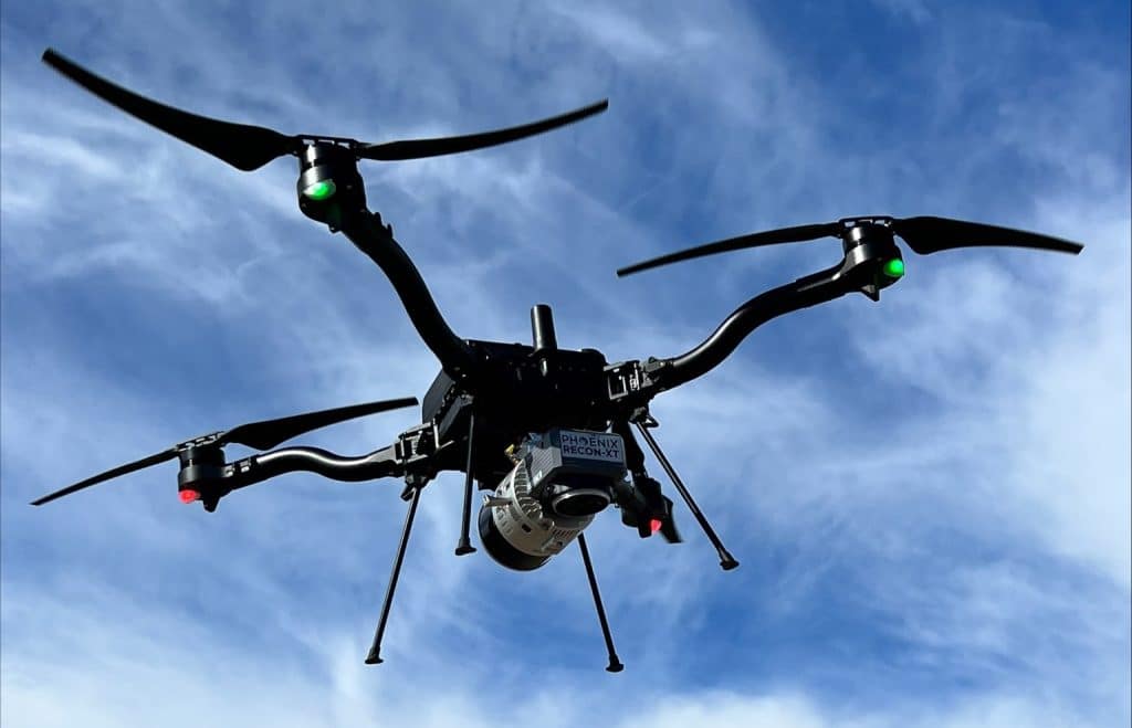
The RECON-XT-A in aerial configuration easily integrates on the ASTRO and other medium mutli-rotor drones.
Full specifications
PLATFORM SPECS
Overall Dimensions
20x7 x 11.7 x 15.7 cm
Payload Weight
1.8 kg / 3.9 lbs
Camera FOV
70°
Camera Resolution
24 MP
External Storage
256GB USB drive included
Operating Voltage
142- 28 V DC
Power Consumption
20W typical
Operating Temperature
-20° C - +40° C
LiDAR SENSOR SPECS
Laser Properties
905nm Class 1 (eye safe)
Range Max
120 m
RMS Ranging Error
10 mm (Average within 0.5 ~ 70 m @ 50% reflectivity)
Pulse Rate
640 kHz points/s, up to 1.28M points/s dual return mode
FOV
+15° -16° Vertical / 360° Horizontal
Multiple Echoes
2
Number of Lasers
32
Beam Divergence
2.29 mrad / 1.52 mrad
Laser Beam Footprint
H X V
H X V
9 cm x 6 cm @ 40 m,
14 cm x 9 cm @ 60 m,
18 cm x 12 cm @ 80 m
Accessories & Options
M350 Recon-XT
Astro Recon-XT-A

Vehicle Mount
Backpack
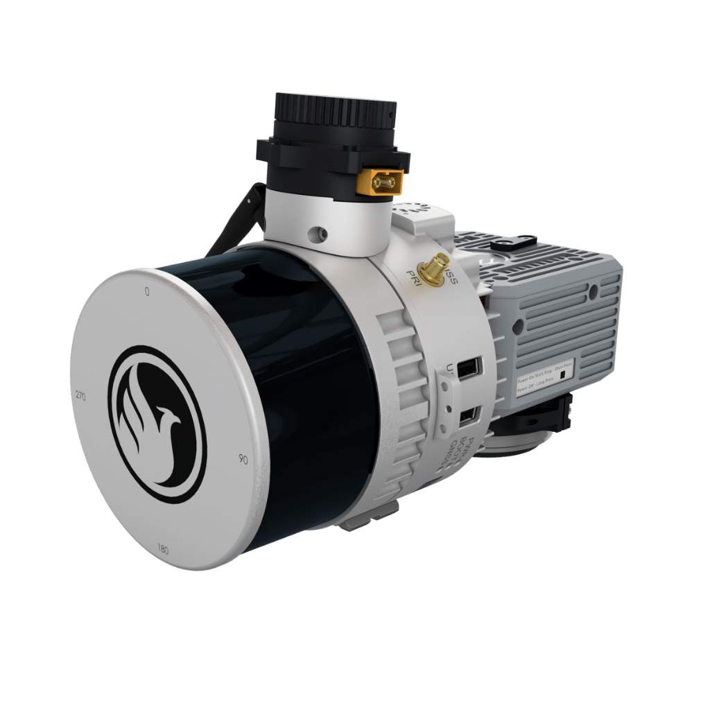
DIMENSIONS (mm)
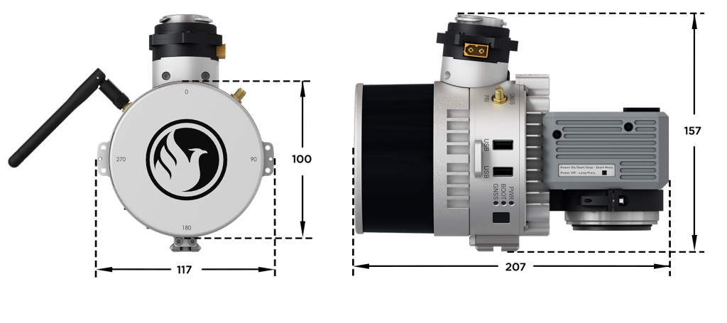
FRONT/LEFT
FRONT
Camera
LEFT SIDE
WiFI
FRONT/RIGHT
REAR
Laser Scanner
RIGHT SIDE
USB
Memory Card
Status Lights
Power Button
GPS Antenna


Automated Post-Processing in the Cloud
CAPTURE | POST-PROCESS | ANALYZE | SHARE
Meet LiDARMill, the first cloud-based, LiDAR platform for post-processing, reporting, and hosting.
LiDARMill enables surveying teams to take advantage of precision laser mapping without investing in expensive software & training.
LiDARMill enables surveying teams to take advantage of precision laser mapping without investing in expensive software & training.