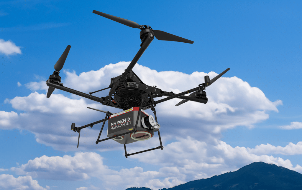
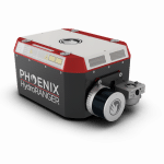
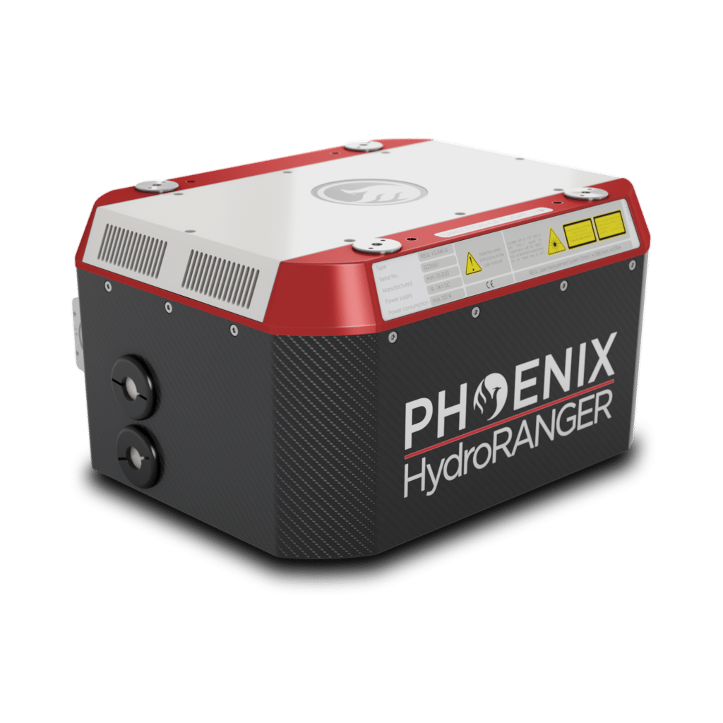
HydroRANGER

KEY FEATURES


The HydroRANGER is an evolution of mapping technology. This Airborne Topo-Bathymetric (ATB) system provides dual purpose topographic and bathymetric measurements for full scene mapping of shoreline systems. Utilizing a visible green spectrum laser with an elliptical scan pattern and measurement rates up to 200 kHz, the HydroRANGER provides a combination of high spatial resolution and spatial accuracy.
Capable of reaching up to 2.0 Secchi depths, this is the ideal solution for mapping land-water interface environments along rivers, reservoirs, oceans and more!
Full specifications
(1) 6 mrad beam divergence, 50 kHz, from a moving platform
Accessories & Options
DIMENSIONS (mm)
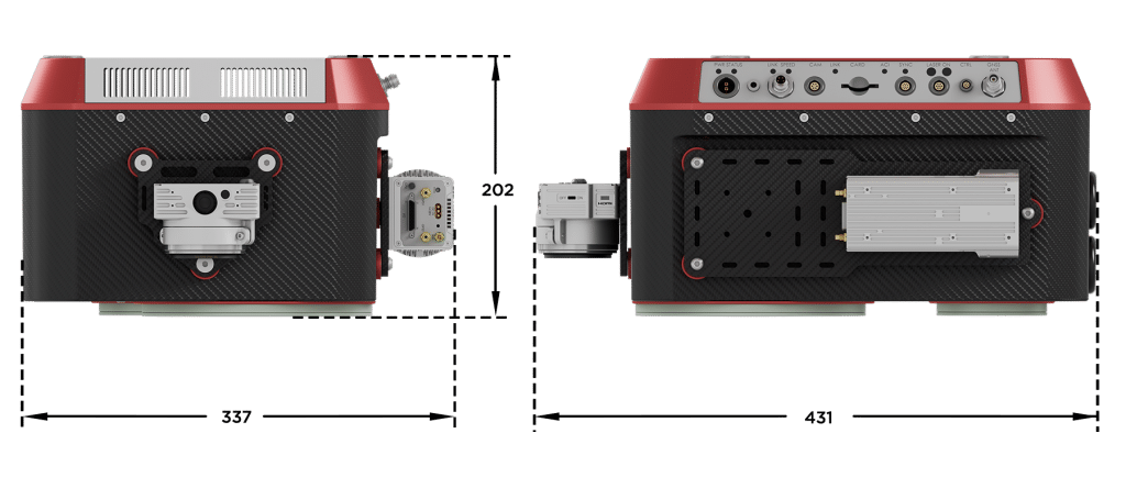
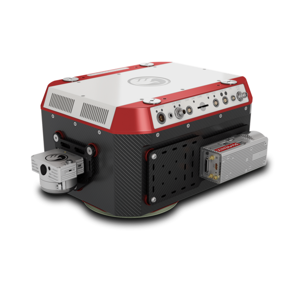
FRONT/LEFT
FRONT
Laser Scanner
Camera and Accessory Mounts
LEFT
Power Button
Status LED
GPS Antenna ½
Air NavBox
SD Card
USB
WiFi
REAR/RIGHT
REAR
Reserved
RIGHT
Reserved


LiDARMill enables surveying teams to take advantage of precision laser mapping without investing in expensive software & training.