WELCOME TO PHOENIX LiDAR
Phoenix LiDAR Systems was established in 2013 as Phoenix Aerial Systems with the goal of combining LiDAR scanning and UAV technologies into a complete solution for today’s generation of surveyors, giving them a system with a guaranteed return on investment.
WE ARE TEAM PHOENIX
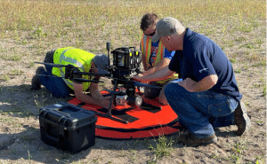
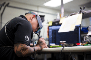
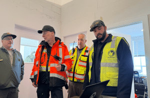
With over 20 years of experience in the development of LiDAR systems, LiDAR survey operations, and data processing, we provide first hand expertise and the full range of services for this exciting technology, helping our customers to make the most of Airborne LIDAR in all its Dimensions.
WE ADMIRE PEOPLE WHO ARE
INNOVATIVE
TRANSPARENT
EFFICIENT
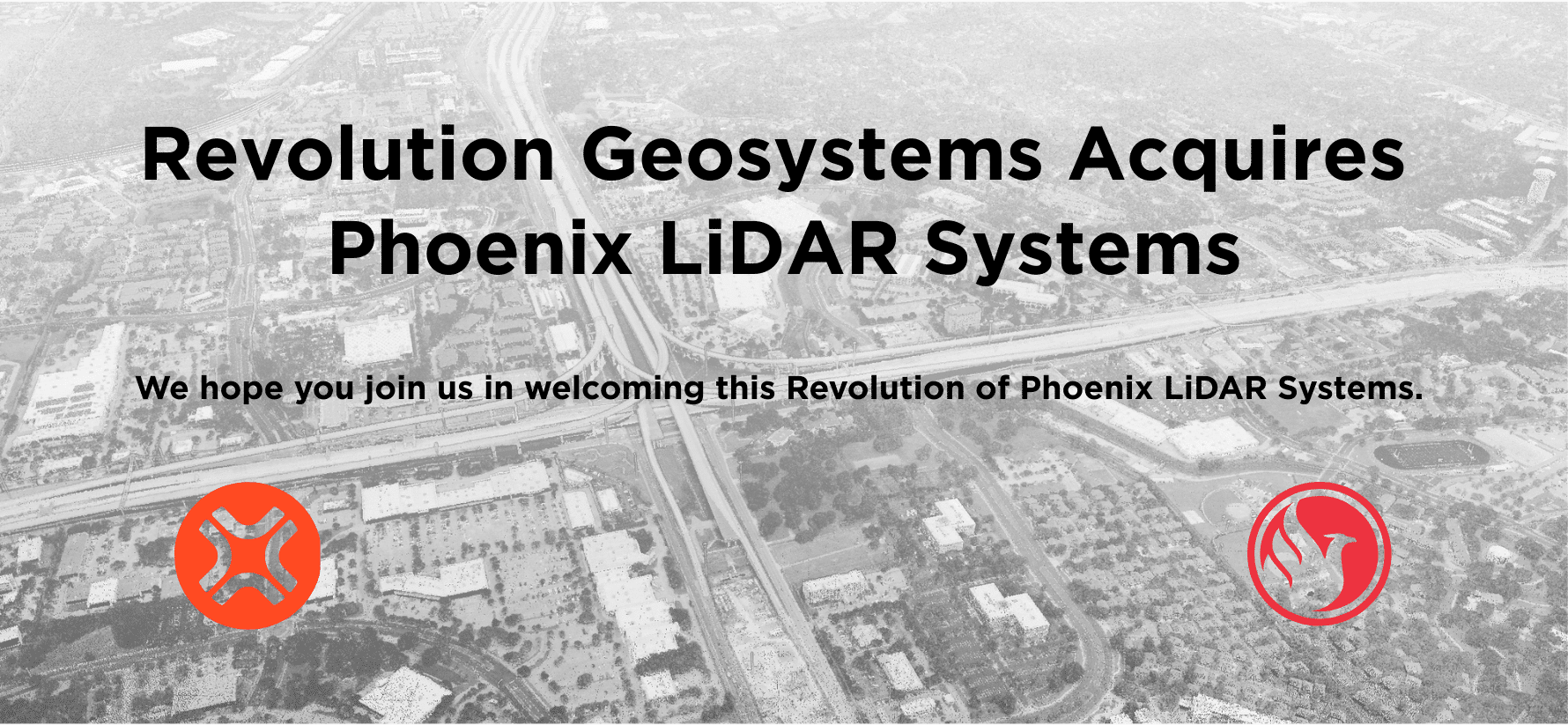
In 2026, Phoenix LiDAR was acquired by Revolution Geosystems in a strategic move that united two powerhouses in the industry. The integration of Phoenix LiDAR Systems into the Revolution Geosystems family marks a significant milestone in the company’s mission to provide “all-under-one-umbrella” services. By combining Phoenix’s world-class hardware and software with Revolution Geosystems aviation and equipment rental services, the acquisition bolsters Revolution Geosystems’ services to support the geospatial market.
Our Vision
To create products that
defy the impossible and rapidly turn data into a decisive edge.
Our Mission
By combining sensors
and software into
purpose-built mapping solutions, Phoenix LiDAR connects the physical and digital worlds to better make sense of our dynamically changing world.
Open Positions
We currently have the following job openings in full or part time positions:
All positions require at least a few years of professional experience. As we are looking to create a small but powerful team, all applicants should be committed to work as responsible team players, and be open to expanding their knowledge and skills. Even if you do not have the exact skills/experiences listed above but experience in similar fields and are willing to expand your horizon please get in touch.
Accounting, HR Generalist, Office Manager
Austin
Management
Full time
Jr. Mechanical Engineer
Austin
Engineering
Full time
OUR LEADERS
Paul Rossouw

CEO, RevGeo
Paul Rossouw is the CEO of Revolution Geosystems, where he leads with a vision for innovation in the geospatial market. With a strong focus on modernizing the aerial acquisition experience, Paul has built a reputation for combining cutting-edge technology with practical, efficient applications. His leadership emphasizes safety, efficiency, and forward-thinking solutions that deliver data driven solutions. Driven by a passion for flight and entrepreneurship, Paul continues to position Revolution Geosystems as a dynamic force in the industry.
Rob Dannenberg

President, Phoenix LiDAR
Rob guides Phoenix LiDAR Systems, helping position the company for its next chapter of innovation and industry impact. A retired military leader with more than 16 years of geospatial experience and over two decades of operational planning and organizational leadership, he brings a deep understanding of both technology and strategy to the industry. Before joining Phoenix, he built remote sensing programs for major ENR firms and helped shape how modern geospatial data is captured and used across the AEC and government sectors. He advises government, AEC, and enterprise clients on multi-modal mapping strategies and is a frequent contributor to national research, standards development, and industry thought leadership.
Ben Adler, Ph.D.

CTO, Co-founder, Phoenix LiDAR
Ben has led the company’s technology vision since its founding and has continued helping guide its evolution following the RevGeo acquisition, positioning it for continued innovation and industry impact. With deep expertise in autonomous systems and real-time guidance, he has driven the development and integration of LiDAR solutions across UAV, mobile, and terrestrial platforms, helping shape how high-accuracy geospatial data is captured and applied across AEC, surveying, and government sectors. Ben holds a Ph.D. from the University of Hamburg in system design and real-time guidance of UAVs for autonomous exploration of outdoor environments.
Jake, CPA

CFO, RevGeo
Jake Dietzler (CPA) is the CFO of Revolution Geosystems, where he blends financial strategy with hands-on operational insight. Jake's background in designing efficient financial systems, optimizing workflows, and scaling operations blends with his experience supporting complex aviation environments to advance the Revolution Geosystems mission. He is dedicated to building transparent processes that empower teams, enable data-driven decisions, and strengthen long-term organizational performance.
Paul DiGiacobbe, PE, DBIA

VP of Lidar Solutions, Phoenix LiDAR
Paul DiGiacobbe brings nearly four decades of experience spanning civil engineering, LiDAR systems, and geospatial technology leadership. A graduate of Villanova University with a BS in Civil Engineering, Paul is a licensed professional engineer registered in 10 states and a Design-Build Institute of America professional. Widely recognized for his early adoption and deployment of reality-capture technologies across complex transportation and infrastructure programs, he is also a co-inventor on three U.S. patents related to mobile LiDAR mapping. Paul helps lead Phoenix LiDAR’s sales strategy, customer engagement initiatives, and long-term growth efforts across the geospatial industry.
Grayson Omans

Founder, Product Strategy Consultant
As a founding member of Phoenix LiDAR Systems, Grayson led the development, sales, and marketing of airborne and terrestrial laser mapping systems, helping drive the company’s growth through acquisition by Revolution Geosystems. He brought deep expertise in LiDAR and GNSS, contributing to the advancement of the company’s mapping solutions. In 2026, Grayson remains an active consultant on product strategy.
.
.

PHOENIX
WORLD'S FIRST UAV LiDAR INTEGRATION
Created by Phoenix Aerial Systems
MAY
2012
JUN
2014
WORLD'S FIRST COMMERCIAL UAV LiDAR
Launched by Phoenix Aerial Systems
WORLD'S FIRST FIXED WING UAV LiDAR SYSTEM
Increasing range and speed, while protecting LiDAR equipment
MAY
2016
NOV
2016
PHOENIX AERIAL SYSTEMS REBRAND
As Phoenix LiDAR Systems
WORLD'S FIRST REAL-TIME 3D POINT CLOUD WITH RGB FUSION
Introduced live colored point cloud visualization
FEB
2017
SEP
2017
WORLD'S FIRST REAL-TIME 3D POINT CLOUD VISUALIZER
Reducing data acquisition errors in the field
WORLD'S FIRST UAV LiDAR
Flight planning tool
DEC
2017
AUG
2018
PHOENIX LiDAR SYSTEMS LAUNCHES LiDARMill
World's first LiDAR post-processing solution in the cloud
PHOENIX LiDAR SYSTEMS RELEASES SLAM
For handheld and mobile mapping
MAY
2019
JUL
2020
PHOENIX LiDAR SYSTEMS RELEASES THE AIR NAVBOX
Offering longer aerial missions and faster processing. Company moves to Austin, TX.
PHOENIX LiDAR SYSTEMS RELEASES ARTIFICIAL INTELLIGENCE
For point cloud analysis and optimized post-processing
FEB
2021
JUN
2022
PHOENIX LiDAR SYSTEMS RELEASES HYDRORANGER
A green-laser system designed for mapping river basins and coastlines
PHOENIX LiDAR SYSTEMS RELEASES HALO-H
A manned aircraft focused LiDAR system capable of range over 1000
FEB
2023
APR
2024
PHOENIX LiDAR SYSTEMS RELEASES SPATIAL EXPLORER 8.0
Giving customers larger projects, faster processing and increased compatibility
PHOENIX LiDAR SYSTEMS RELEASES RFM2
Dual-head mobile mapping solution for large transportation projects
APR
2024