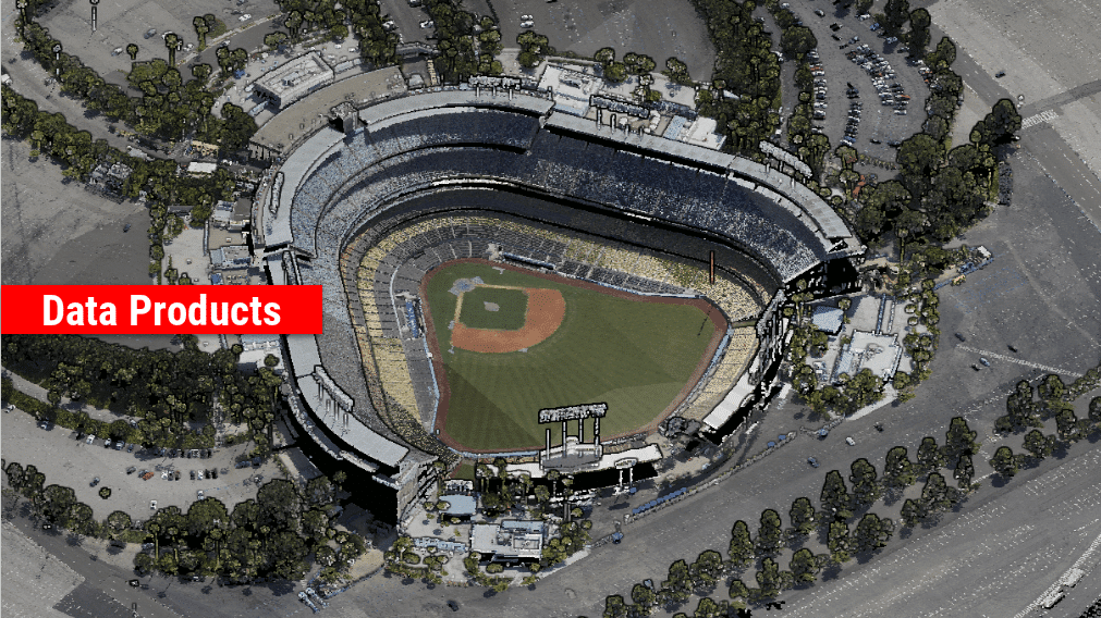
Archeology
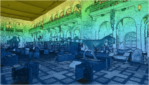
Point Density: 50,000+ points per m^2
Height: ~1.5 m AGL
Speed: Walking pace (~3-4 mph)
Data Acquisition Time: 10 minutes
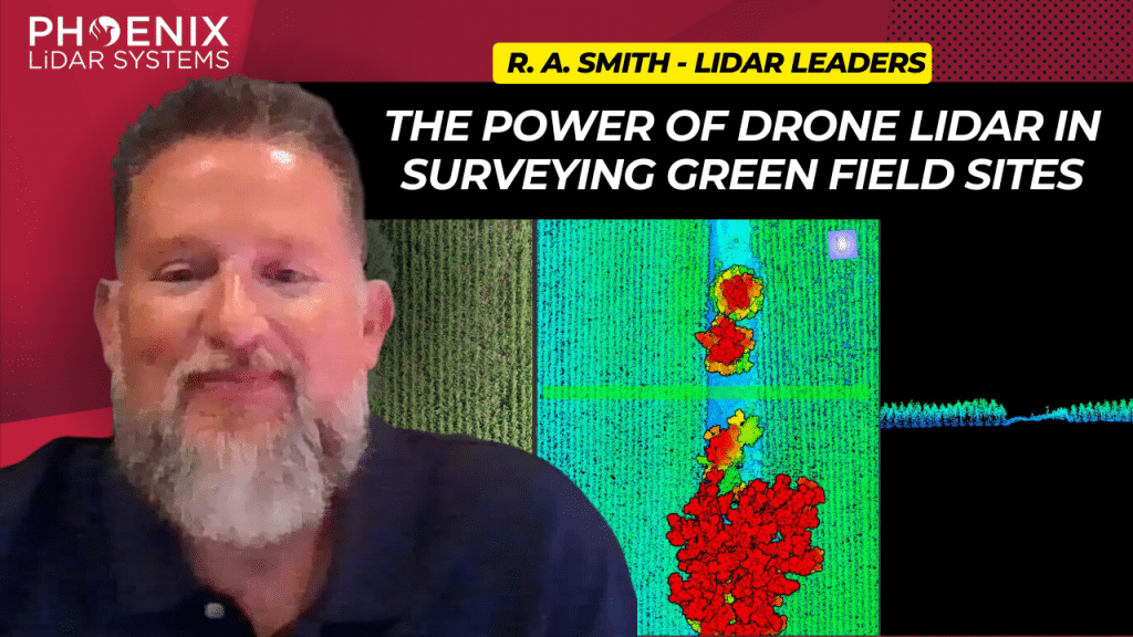
This video delves into the transformative impact of the Phoenix MiniRanger 3 on raSmith’s aerial survey operations, a leading name in civil engineering and surveying based in Brookfield, Wisconsin.
Adopted to enhance the efficiency of surveying expansive greenfield sites, the MiniRanger 3 overcomes challenges posed by dense vegetation like corn, soybeans, and alfalfa, using advanced LiDAR technology.
This state-of-the-art aerial LiDAR system stands out for its high vertical accuracy, robust point density, and reliable GPS integration, making it ideal for detailed and obstructed terrains.
RaSmith’s integration of the Phoenix MiniRanger 3 has not only streamlined their aerial survey workflow but also allowed them to tackle labor shortages, diversify into corridor work, and expand scanning services for public utilities.
Backed by Phoenix’s exceptional technical support, this adoption highlights a significant shift towards more resource-efficient and precise surveying methods. The video underscores the system’s role in pushing the boundaries of civil engineering and surveying, paving the way for future advancements in LiDAR technology.
In recent years, airborne laser scanning has revolutionized the documentation of historic cultural landscapes, extending its applications from natural landscapes to built environments. The integration of unoccupied aerial vehicles (UAVs) with LiDAR systems is a transformative advancement, providing complementary data for precise mapping of targeted areas.
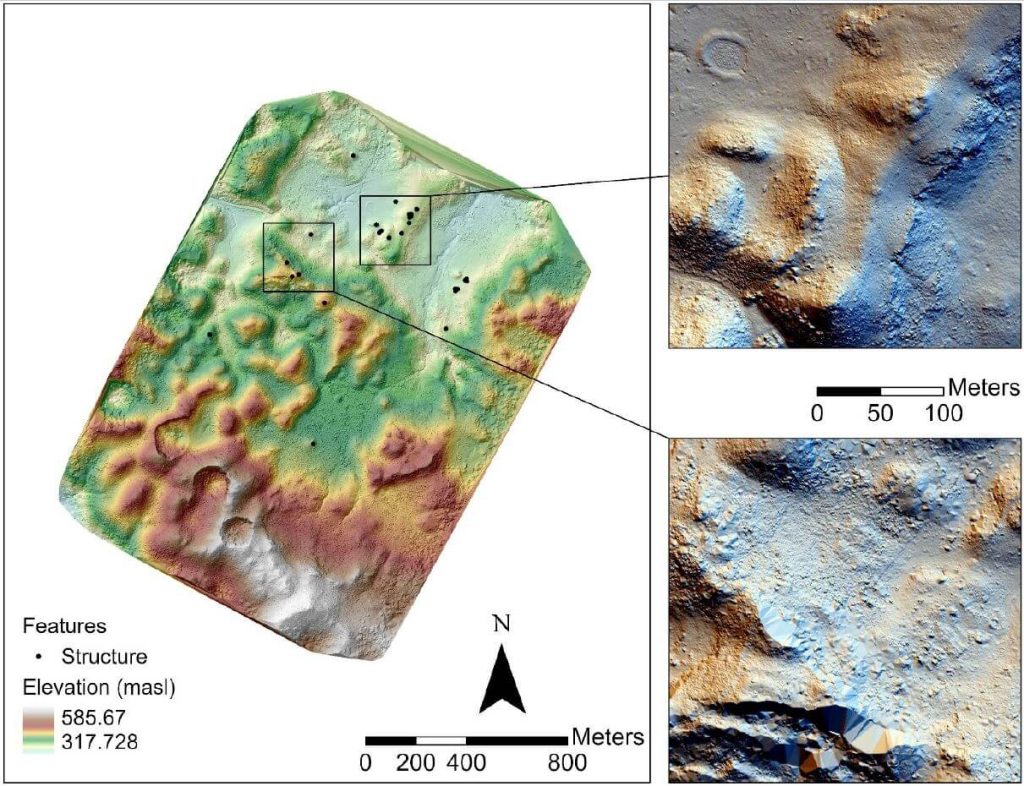
This whitepaper presents the findings from a 2019 study in the Maya Lowlands of Chiapas, Mexico, utilizing UAV LiDAR to capture and analyze data from six archaeologically significant areas. These areas, characterized by diverse environments, land cover, and archaeological features, were studied for their pre-Hispanic settlements and agrarian landscapes. The results confirm the immense potential of UAV LiDAR systems for high-precision archaeological mapping and underscore the importance of multidisciplinary collaboration.
The high-precision data acquired is invaluable for mapping archaeological features and understanding long-term land use and landscape changes in archaeological contexts.
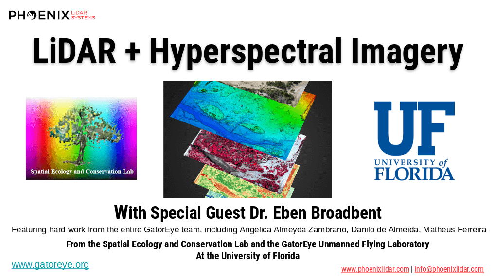
The high dimensionality of data generated by Unmanned Aerial Vehicle(UAV)-Lidar makes it difficult to use classical statistical techniques to design accurate predictive models from these data for conducting forest inventories. Machine learning techniques have the potential to solve this problem of modeling forest attributes from remotely sensed data. This work tests four different machine learning approaches – namely Support Vector Regression, Random Forest, Artificial Neural Networks, and Extreme Gradient Boosting – on high-density GatorEye UAV-Lidar point clouds for indirect estimation of individual tree dendrometric metrics (field-derived) such as diameter at breast height, total height, and timber volume.

Mohawk College recently partnered with the Niagara Parks Commission on a critical project, utilizing their Phoenix LiDAR Scout 32 system to achieve two key objectives. First, they generated a precision high-resolution 3D model of the historic Toronto Power Generation Station. This data is instrumental for the rehabilitation efforts to preserve this architecturally significant structure.
Second, they accurately scanned and geo-located a century-old barge that had been lodged above Niagara Falls since 1918. Dislodged by a powerful storm, the barge moved 150 meters downstream, closer to Horseshoe Falls. Niagara Parks Officials are closely monitoring its potential movement.
UAV LiDAR technology enabled the team to geo-locate the barge with centimeter-level precision and create a detailed cultural heritage preservation model of the power station. This project underscores the critical role of advanced LiDAR technology in historical preservation and environmental monitoring.
Check out their fine work and some incredible footage from the Niagara Falls project here!
We’re excited to announce the release of LiDARMill v2! LiDARMill v2 takes automated post-processing to the next level. In our recent webinar, we covered some of the new improvements and features including:
- Imagery Processing in LiDARMill
- Ground Control Reporting and Adjustments
- Robust Coordinate System Handling
- A Workflow Overview and Demonstration
- Multi-Mission Processing Support
- Advanced Point Cloud Filtering Options
- RGB Thermal & Fusion
- Accuracy Reporting
- Automated LiDAR and Camera Calibration Options
- Near-Real Time (NRT) Reference Station Positioning for Projects Requiring Less Than 24 Hour Turn-around Time
- Trajectory Post-Processing Without Reference Stations
If you have any questions or would like to learn more about LiDARMill v2, please don’t hesitate to get in touch. We’d be happy to help!
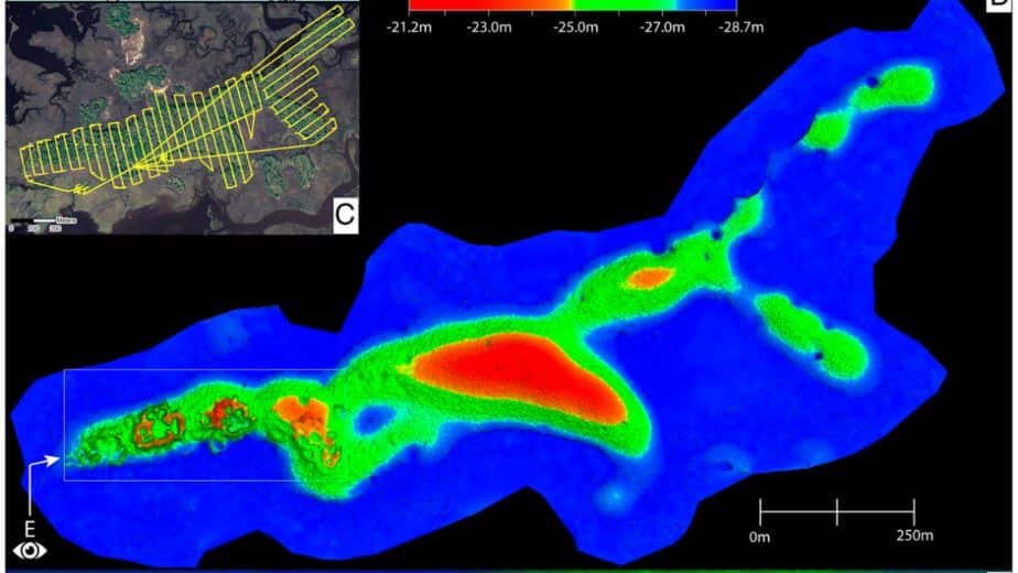
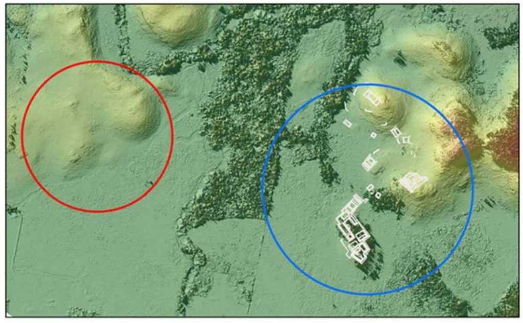
This whitepaper presents groundbreaking insights into the architectural details of the ancient Raleigh Island shell-ring complex (8LV293) on the Gulf Coast of Florida, revealed through drone-mounted, high-resolution LiDAR technology.
Dating back to 900 to 1200 CE, this settlement features at least 37 residential spaces enclosed by oyster shell ridges up to 4 meters tall. Excavations in ten of these spaces uncovered extensive evidence of shell bead production from marine gastropods, highlighting the island’s role in the political economies of second-millennium CE chiefdoms across eastern North America. Unlike other regions where shell bead production was controlled by chiefs, Raleigh Island’s bead making operated independently.
The high-resolution drone LiDAR data allows for unprecedented comparisons of bead production activities across different residential spaces, providing valuable analytical perspectives on the organization of ancient shell bead production. This study underscores the potential of drone-mounted LiDAR in enhancing our understanding of ancient political economies and settlement architectures.
This whitepaper details the use of unmanned aerial vehicle (UAV) LiDAR missions conducted in the Maya Lowlands between June 2017 and June 2018 to develop effective methods, procedures, and standards for drone LiDAR surveys of ancient Maya settlements and landscapes.
Testing at three site locations in the upper Usumacinta River region—Piedras Negras in Guatemala (2017) and Budsilha and El Infiernito in Mexico (2018)—provided a diverse range of natural and cultural contexts to evaluate the technology’s field utility. The study’s results, based on standard digital elevation and surface models, demonstrate the effectiveness of drone LiDAR for documenting ancient landscapes and settlements across the Maya Lowlands and Latin America.
This approach is adaptive, cost-effective, and suitable for targeted documentation, though it requires careful planning and sample evaluation. Future research will further refine the methods and techniques for data filtering and processing.