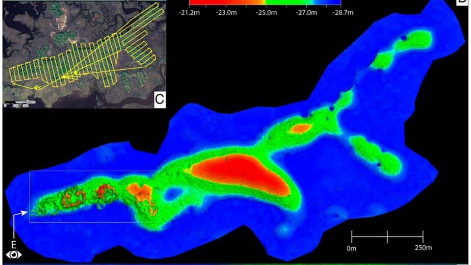
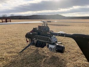
This whitepaper presents groundbreaking insights into the architectural details of the ancient Raleigh Island shell-ring complex (8LV293) on the Gulf Coast of Florida, revealed through drone-mounted, high-resolution LiDAR technology.
Dating back to 900 to 1200 CE, this settlement features at least 37 residential spaces enclosed by oyster shell ridges up to 4 meters tall. Excavations in ten of these spaces uncovered extensive evidence of shell bead production from marine gastropods, highlighting the island’s role in the political economies of second-millennium CE chiefdoms across eastern North America. Unlike other regions where shell bead production was controlled by chiefs, Raleigh Island’s bead making operated independently.
The high-resolution drone LiDAR data allows for unprecedented comparisons of bead production activities across different residential spaces, providing valuable analytical perspectives on the organization of ancient shell bead production. This study underscores the potential of drone-mounted LiDAR in enhancing our understanding of ancient political economies and settlement architectures.


