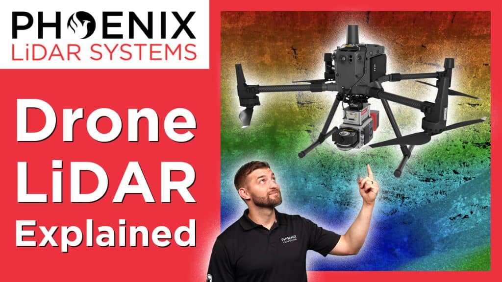
In this video, Kory Kellum from Phoenix LiDAR Systems explains the technology required to produce high-accuracy drone-based LiDAR data. Corey delves into the hardware components necessary for LiDAR acquisition, including the GNSS antenna and receiver for positioning, the IMU for orientation, the LiDAR sensor for measuring angles and distances, a CPU for real-time calculations, and an SSD for data storage.
The video demonstrates how these components work together to generate accurate 3D point clouds and offers tips for optimizing data accuracy, such as using a GNSS reference station and performing boresight alignment calibration. Understanding these technologies and best practices ensures the highest quality drone-based LiDAR data for various applications.


