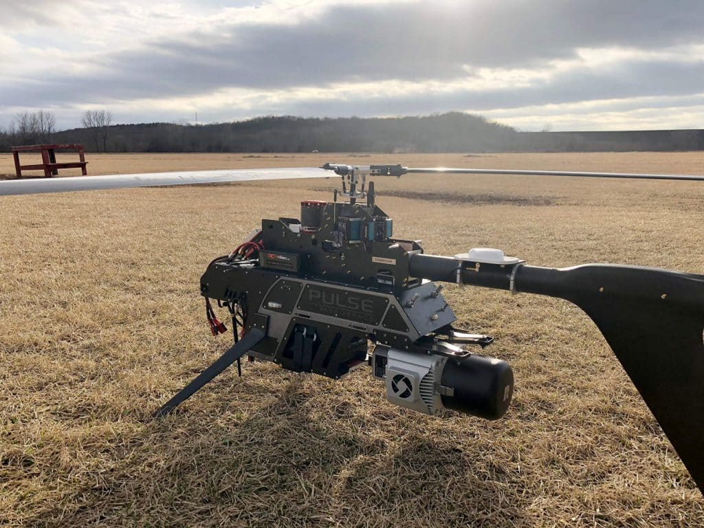
This whitepaper presents the initial results from testing and evaluating a single-rotary Unmanned Aircraft System (UAS) integrated with a long-range, multi-return LiDAR sensor. Conducted at an airfield in South Texas, USA, the study explores the evolving capabilities of miniaturized LiDAR technology and its application in UAS platforms. Compared to traditional airborne LiDAR mapping, UAS platforms offer greater flexibility in flight design, rapid response capabilities, and potentially lower costs for local mapping.
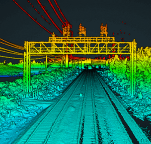
The research focuses on describing the UAS platform and its enabling technologies (LiDAR, IMU, GPS), sensor calibration and initialization processes, and the methods for geospatial surveying, data processing, and analysis. The advantages of LiDAR, such as its pulsed ranging technique and multi-return detection capability, are highlighted, demonstrating its effectiveness in applications like vegetation structure monitoring, obstacle detection, and digital terrain model refinement.
This study underscores the potential of UAS LiDAR systems for fine-scale mapping and various environmental monitoring applications, paving the way for enhanced precision and efficiency in geospatial data collection.
