
KEY FEATURES


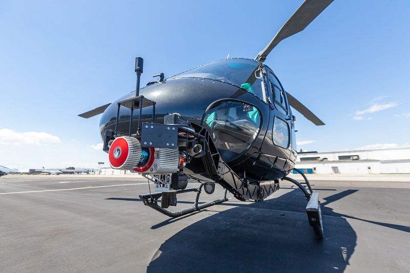
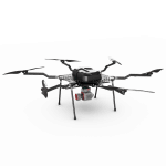
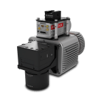
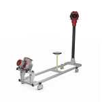
The RANGER-LR22 LITE is the new lighter, long-range system configuration of our RANGER Series. Designed for the most demanding mapping applications, the RANGER-LR22 LITE is the ultimate combination of high density, long-range LiDAR with a powerful 1,550 nm laser and up to 15 returns that penetrate dense vegetation at high speeds and altitudes in large scan regions.
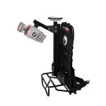
This system is available in UAV, manned aircraft, mobile, VTOL, and backpack configurations.
Full specifications
1) Rounded values.
2) Setting of intermediate PRR values possible.
3) Typical values for average conditions. Maximum range is specified for flat targets with size in excess of the laser beam diameter, perpendicular angle of incidence, and for atmospheric visibility of 23 km. In bright sunlight, the max range is shorter than under overcast sky.
4) Ambiguity to be resolved by post-processing.
5) Flat terrain assumed, scan angle ± 45° FOV.
6) If more than one target is hit, the total laser transmitter power is split and, accordingly, the achievable range is reduced.
Accessories & Options
Dimensions
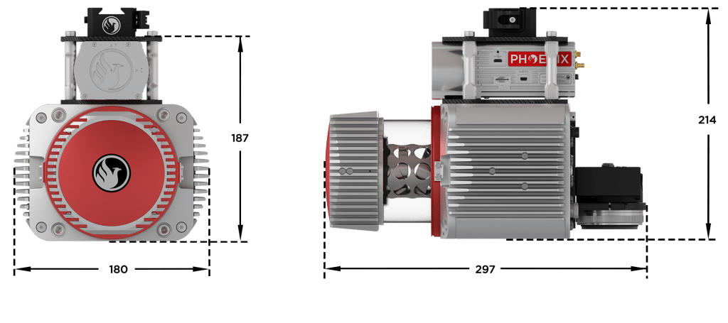
FRONT/LEFT
FRONT
Laser Scanner
LEFT
USB
SD Card
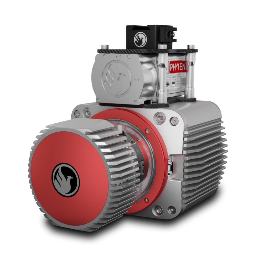
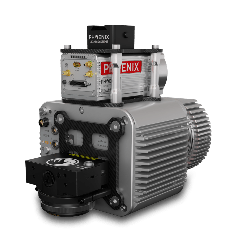
REAR/RIGHT
REAR
Power Button
Status LED
GPS Antenna 1-2
Air NavBox
WiFi
Camera Mounting


LiDARMill enables surveying teams to take advantage of precision laser mapping without investing in expensive software & training.