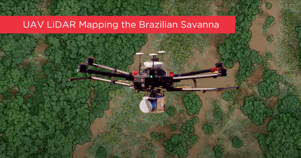
In 2017, an international team of Brazilian and U.S. scientists used two UAVs, including a Phoenix LiDAR system, to monitor and analyze degraded parts of the Brazilian Savanna that had previously been surveyed with aircraft and LiDAR. Their goal: to protect the most biologically diverse savanna in the world from further human impacts, restore native species, and increase CO2 absorption to mitigate the effects of climate change, all while balancing the protection and restoration of natural resources with food production.
UAVs are already used extensively in Brazil for a number of other uses. This team gathered both physical and biological information about the vegetation cover using Phoenix LiDAR and also visual (RGB) sensors. Counting trees is a critical metric that enables them to estimate planted seedling survival rates, species density, plant spacing, etc.
This team’s objective was to demonstrate how both Phoenix LiDAR and RGB sensors helped them monitor the vegetation structure (including tree numbers and height) in the Cerrado savanna. Phoenix LiDAR’s accuracy in performing automated measurements of the number and height of the trees was superior to the RGB sensors, though RGB was also useful for identifying tree species.

