The PIONEER-360 is New and Improved!
The best-in-class universal survey grade LiDAR mapping system
The PIONEER-360 is the tool of choice for UAV and Mobile applications where there is no room for compromise in data quality. With a beam divergence of only 0.3 mrad, this system is designed for precision and confidence.
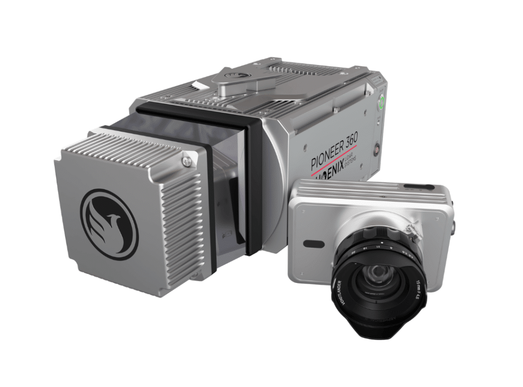
The PIONEER-360 supports selectable pulse repetition rates up to 500 kHz and line scan speeds up to 250 lines/second, allowing it to be optimized for various application and data requirements. A quick release system can accommodate a removable high-resolution, light-weight 61 MP camera.
Benefits:
- Most narrow beam divergence of any Phoenix LiDAR system for superior ground detection and canopy penetration
- Even point distribution at higher vehicle speeds
- Price and performance closes the gap between MiniRANGER and RANGER series systems
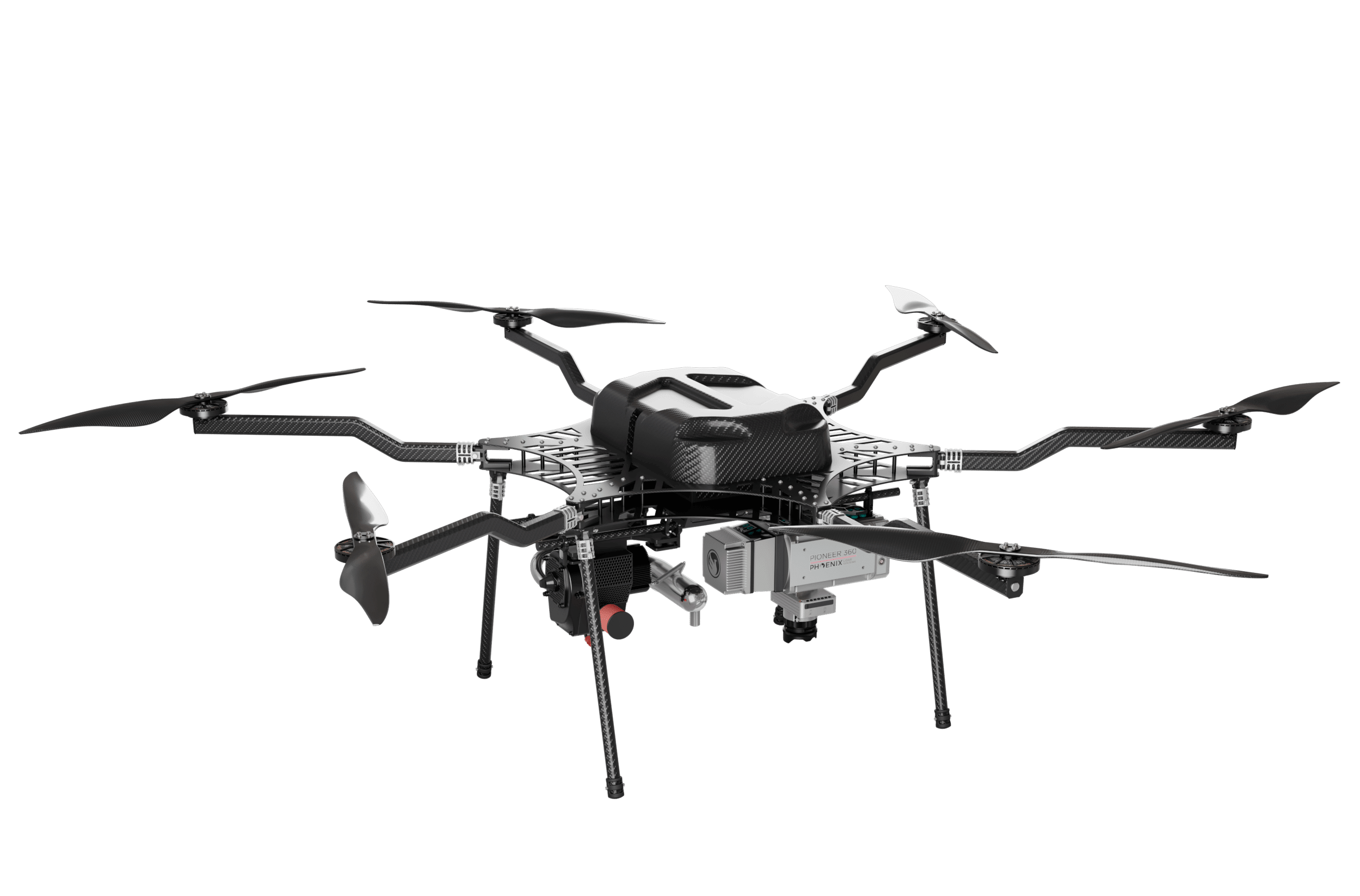
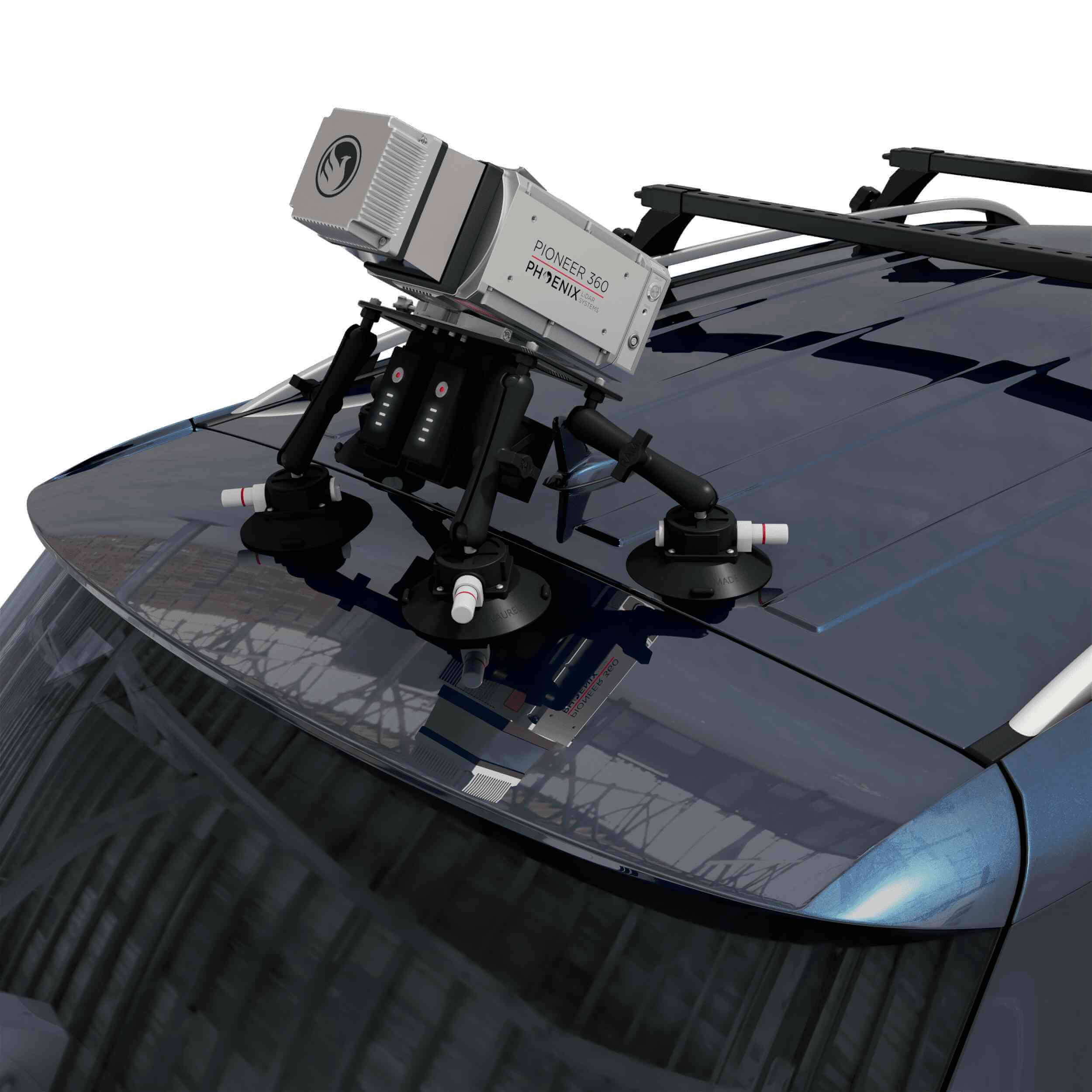
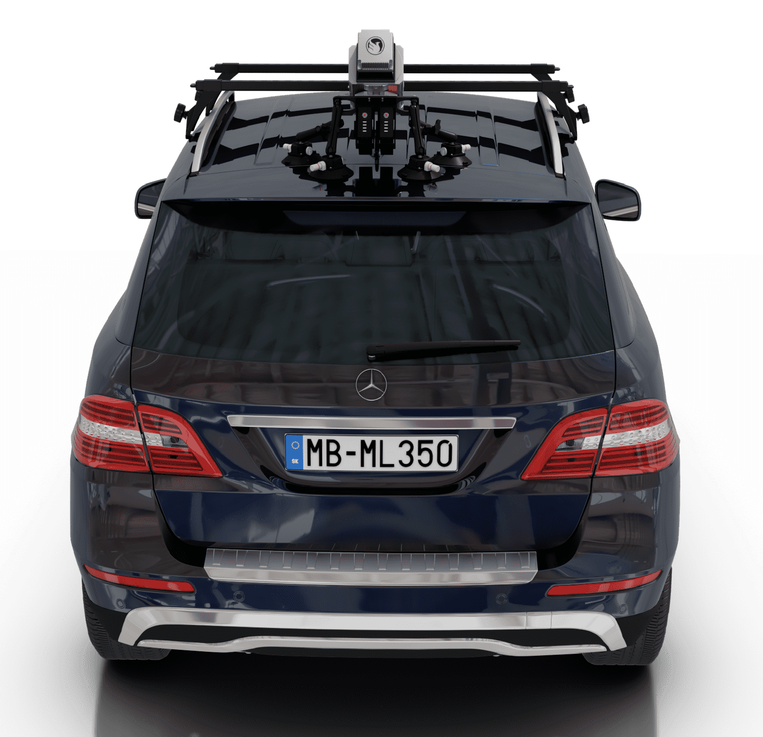
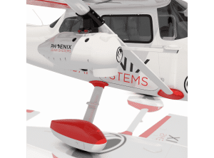
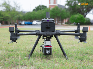
- Highly adaptable – capable of UAV, mobile, and backpack applications

Specifications:
- Narrow beam divergence of <0.3 mrad 1/e
- Shot-to-shot precision of <1cm for survey applications
- Up to 4 returns
- Laser Range: 290 m @ 20% Reflectivity
- Scan Rate: Up to 500 kHz
- Weight: 4.9 kg / 10.8 lbs including camera
- Scan speed of 250 lines per second
- 61 MP camera (optional)
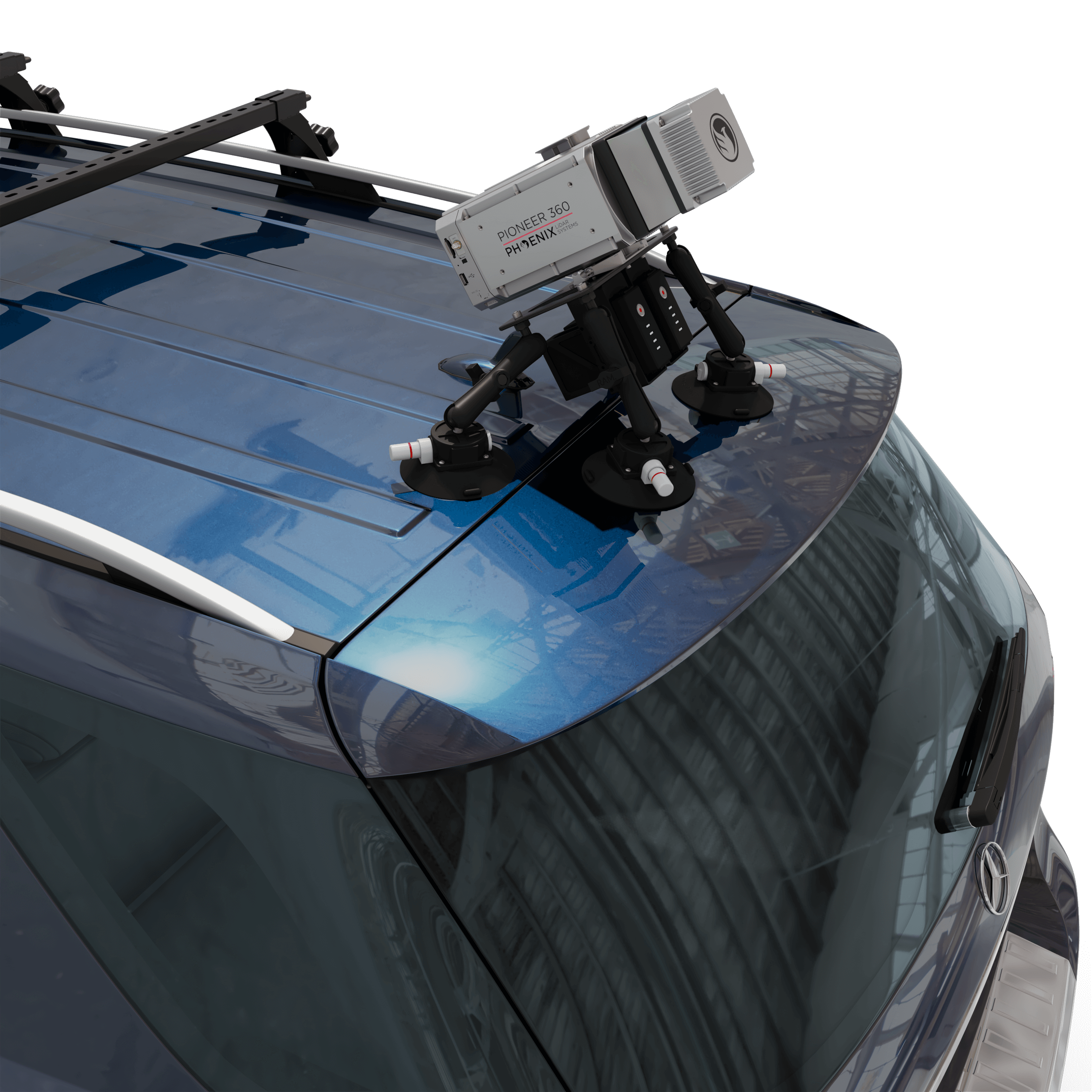
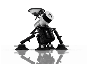
PIONEER-360 is Mobile Mapping Compatible!