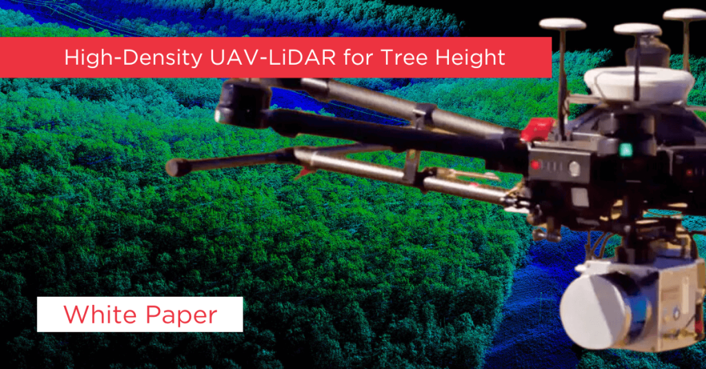
An international team of scientists from Brazil and the University of Florida are working together to study urban forests as a means of mitigating climate change. The University of Florida’s Second Generation GatorEye UAV LiDAR system uses a Phoenix Scout Ultra system to provide scientific backing for policies to preserve the forest inventory in the urban landscape.
This team’s objective is to improve what has been a difficult and costly data gathering process by incorporating remote sensing technology, such as UAV LiDAR, and to determine the levels of point density that return the best data. Ultimately, their goal is to increase the amount of research done on a part of the urban landscape that is difficult to research, and to provide decision makers with better information on which to base policy decisions.
This study looked closely at how other studies used LiDAR in similar situations. They found LiDAR is great for measuring tree parameters and designing vegetation structure 3D maps, and it provides spatial and temporal flexibility that other methods don’t offer. The other researchers got high resolution data at significantly lower cost, and also indicated applicability for urban forests using LiDAR alone or integrated with optical images.
LiDAR is more convenient than airborne LiDAR—lower cost, more accessible transportation, higher density of points. UAV LiDAR provides models with higher resolution, even though the value of point density influence for individual tree parameters is still not understood and needs further research.
Based on other studies’ findings, combining field-based research and remote sensing data seems to be best practice, especially if high-resolution LiDAR is available.
In November 2019, this Brazilian and U.S. team performed a physical measurement of 171 Brazilian pines, including circumference, height, and geographical position, in an urban forest remnant located in Curitiba, State of Parana, southern Brazil. They then collected the same trees’ data using UAV LiDAR and compared the data.


