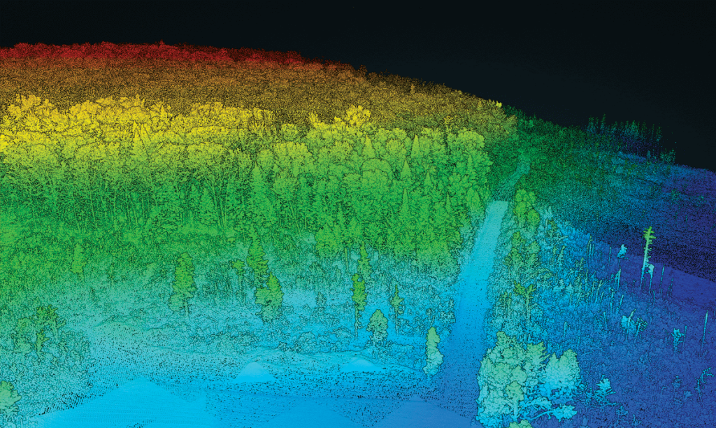
This whitepaper investigates the innovative use of UAV-borne hyperspectral and LiDAR data to enhance our understanding of forest ecosystem restoration. Focusing on twelve 13-year-old restoration plots in the Brazilian Atlantic Forest, the study evaluates the effectiveness of these technologies in assessing tree diversity and structure.
By combining LiDAR -derived structural attributes—such as canopy height and leaf area index (LAI)—with hyperspectral variables, the research demonstrates the complementary nature of these data sources. The findings reveal that while LiDAR -derived canopy height is a strong predictor of above ground biomass (AGB), the integration of hyperspectral and LiDAR data provides a comprehensive approach to monitoring forest structural attributes and tree diversity. The study supports biodiversity theory, showing that higher species richness enhances biomass capture and canopy functionality.
This whitepaper underscores the critical role UAV-borne remote sensors can play in large-scale forest monitoring, particularly in the context of the UN Decade of Ecosystem Restoration, by providing high-resolution data essential for effective decision-making in restoration projects.

