Join Phoenix LiDAR Systems’ November 2021 webinar as we evaluate entry-level LiDAR systems for 2022, featuring the Recon A, Recon XT, and MiniRanger. Hosted by Conrad Conterno, this webinar offers an in-depth look at Phoenix’s custom mapping solutions, including hardware, support systems, processing software, and technical guidance.
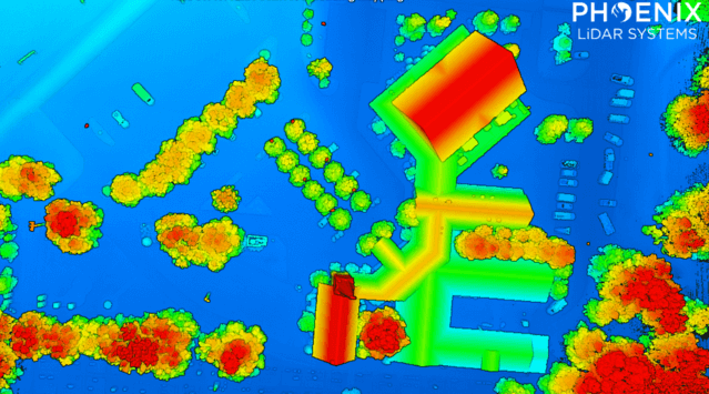
Discover key attributes of LiDAR data quality such as precision, relative accuracy, and absolute accuracy, and see their impact on data evaluations. We compare data from three flights, showcasing each entry-level LiDAR system’s capabilities through visual and statistical analyses. Results reveal high-quality data from all three systems, each with unique precision levels and application suitability.
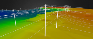
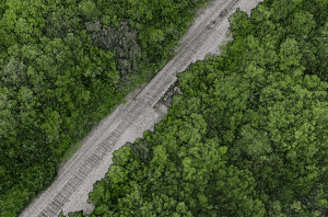
Explore factors influencing data quality, including laser intrinsic quality, pulse interaction with targets, and data processing workflows. Gain insights into vegetation penetration and utility infrastructure mapping, highlighting each scanner’s strengths.
The Q&A session addresses the advantages of different systems for applications like linear transmission line mapping and vegetation penetration. Learn why selecting the right LiDAR system depends on your specific use case, budget, and desired outcomes. Phoenix LiDAR Systems offers a range of sensors, providing unbiased recommendations tailored to your needs.


