This video features Professor Michael Starek from Texas A&M University-Corpus Christi, as he discusses the innovative use of drone LiDAR technology by geomatics students to map and protect coastal habitats.
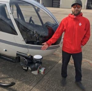
Through a detailed interview, Professor Sterk explains how they employ Phoenix LiDAR systems, including the high-end Ranger LR and the cost-effective Recon XT-A, to accurately measure microtopographic changes in sensitive wetland areas.
These drone-based systems provide crucial data for understanding coastal erosion, vegetation dynamics, and the impacts of sea level rise, with a focus on precision and the ability to capture minute changes in terrain that are vital for environmental monitoring and conservation.
The video highlights the practical applications of LiDAR in geomatics, demonstrating its significance in environmental science and the advantages of using drones over traditional aircraft for detailed and localized data collection. Professor Sterk emphasizes the career opportunities in geomatics, noting the high demand for trained professionals in this growing field.


