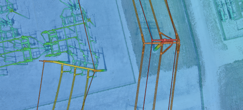
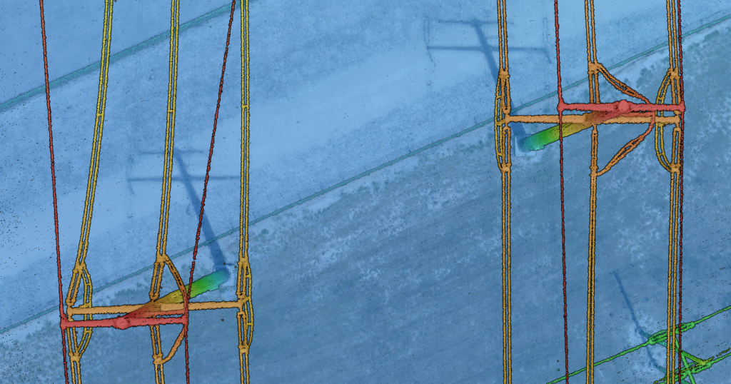
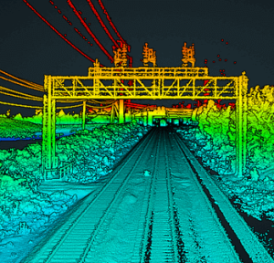
Utility companies managing power transmission networks face complex challenges in monitoring and maintaining infrastructure. The vast expanse of linear corridors and difficult terrain often render traditional survey methods impractical. Aerial LiDAR offers an efficient, innovative solution by capturing detailed tower and conductor geometries, detecting vegetation encroachment and hazards, and generating survey-grade terrain models—all with unmatched speed and accuracy.
Phoenix LiDAR Systems provides flexible hardware options for every inspection task, including vehicle-mounted, UAV, and helicopter-based LiDAR systems. This adaptability ensures the right tool for any job, whether mapping narrow corridors or covering large areas.

Comprehensive Right-of-Way Mapping
Aerial LiDAR enables utility providers to efficiently collect high-density 3D data along power line corridors. With this technology, utilities can:
- Capture detailed tower structures and conductor geometries
- Detect vegetation encroachment and potential hazards
- Generate survey-grade terrain models for better clearance planning
Adaptable Hardware for Diverse Needs
Phoenix LiDAR’s vehicle-mounted, UAV, and helicopter-based systems ensure the right tool for any utility inspection task. The RANGER-U240 covers wide areas from high altitudes, the RANGER-U120 and RANGER-U160 series with their NFB VFOV allow for single pass scanning of vertical structures, while the SCOUT M2X series excels at narrow corridor mapping.

Powerful Data Processing and Insights
Point cloud classification and vectorization transform raw LiDAR into actionable insights, including:
- Conductor sag analysis for wire loading assessments
- Vegetation encroachment detection for maintenance planning
- Survey-grade digital elevation models for clearance planning
Key Benefits for Utility Providers
Aerial LiDAR empowers utilities to streamline critical inspection workflows, with benefits like:
- Identifying clearance issues and mitigating risks
- Improving compliance reporting and asset management
- Making data-driven decisions with survey-grade accuracy
Competitor insights reinforce the advantages of LiDAR’s accuracy, cost-effectiveness, flexibility, and safety compared to traditional methods. UAV-mounted LiDAR, in particular, enables frequent monitoring of fast-growing vegetation and surveying of hard-to-access areas.
Learn how LiDAR can revolutionize your utility inspection operations. Contact us to get started.
