Interested in generating survey grade data with greater automation? How about with more control, less time, and more accurate results? Phoenix LiDAR Systems is excited to showcase LiDARSnap 4 to accomplish all of this and more! This webinar presents the factors involved in the creation of quality point cloud data from systemic boresight calculations to mission-specific LiDAR calibration including trajectory optimization and adjustment to ground control. Through combining all LiDAR calibration approaches into an automated, user-friendly tool, LiDARSnap 4 saves the user time, greatly reduces the complication of point cloud calibration, and improves the overall accuracy of the end deliverable! See how Phoenix LiDAR Systems has streamlined the path from acquisition to actionable survey grade point cloud data through the ease of LiDARSnap4!
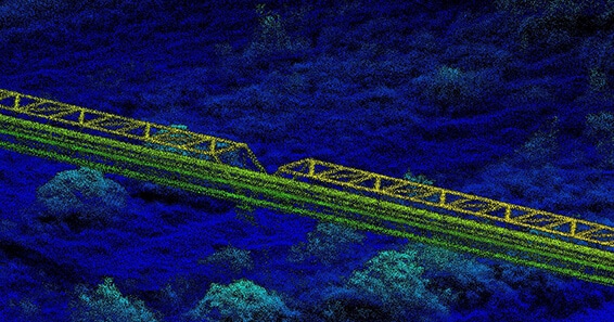
LiDAR Calibration – Achieving Survey Grade Accuracy with LiDARSnap 4
Fill Out the Form to Download the Resource
Table of Contents
Related Posts

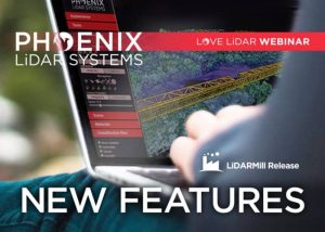
LiDARMill New Features Release!
October 8, 2021In this month's webinar, we discuss some new and exciting developments and improvements in our automated processing software, LiDARMill. In…
The Power of 3D Virtualization Using LiDAR
November 22, 2023Join Pete Kelsey, the visionary owner of VCTO Labs, as he unveils the transformative power of 3D virtualization and LiDAR…
Phoenix LiDAR Systems Docs
April 8, 2024This user manual provides a detailed overview in the use of our LiDAR mapping systems. It addresses and explains the…

