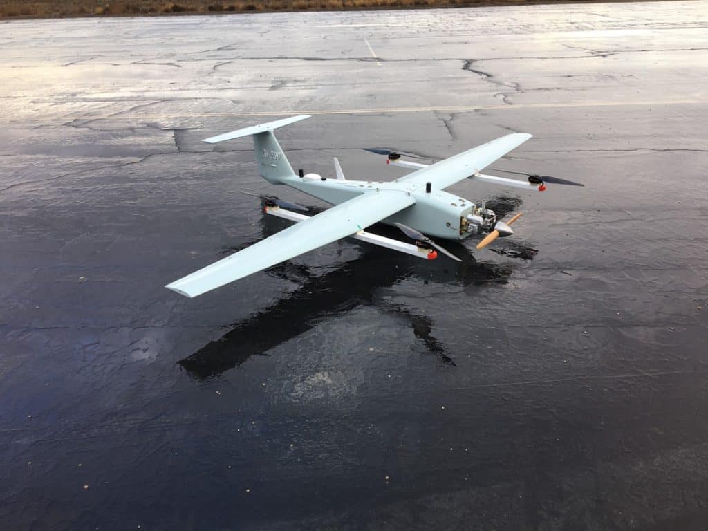
Join Phoenix LiDAR Systems in their fourth webinar, introducing the company’s cutting-edge, survey-grade LiDAR mapping systems and automated processes. Discover their pioneering achievements, including the world’s first fixed-wing VTOL UAV LiDAR system. This webinar delves into challenging UAV LiDAR applications, such as powerlines, dense vegetation, corridor mapping, and wide-area mapping. Sam, the chief pilot, highlights the capabilities of the TerraHawk CW-20 and CW-30 fixed-wing VTOL UAVs, known for their long flight durations, RTK positioning, and flexible takeoff and landing.
Grayson Omans, CEO, underscores the importance of extended airborne LiDAR operation and efficient system integration. Senior Post-Processing Manager, Conrad, showcases impressive datasets from various terrains, demonstrating the high-density lidar data captured by the TerraHawk UAVs and Scout Ultra and Ranger LRT systems.
The team addresses viewer questions, and Eric Agnello, Director of Sales, announces the Scout series relaunch with new sensor options. The webinar concludes with details on upcoming events and an invitation for feedback and future webinar topic suggestions.

