Explore the transformative role of LiDAR technology in urban development through EHRA’s use of the Mini-Ranger LiDAR system. This video highlights how EHRA, a leading engineering firm, utilizes drone LiDAR to revolutionize urban planning and project management.
The Mini-Ranger system, acclaimed for its precision in terrain and vegetation data collection, enables efficient project execution and detailed site analysis, ensuring cost-effective management and enhanced flood prevention strategies.
Join Aaron Kelsey, EHRA’s Senior Survey CAD Tech and Drone Program Manager, as he discusses the system’s capacity to survey extensive areas swiftly, reducing both time and labor costs significantly.
The reliability and high-quality data collection of the Mini-Ranger system have proven essential in multiple large-scale projects, supported by the excellent customer service from Phoenix LiDAR.
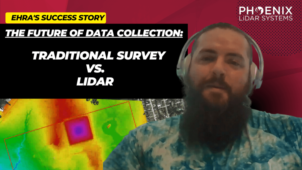
This session also covers the evolution from traditional survey methods to advanced LiDAR technology, underscoring its accuracy and the objective data crucial for drainage studies and boundary surveys. Celebrate Phoenix LiDAR’s decade of innovation and discover how their technology is pivotal in advancing urban engineering practices.


