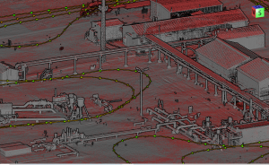
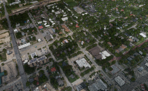
In this video, Kory Kellum from Phoenix LiDAR Systems walks you through the five essential steps to process LiDAR data after collection. Starting with raw data, he explains how to transform it into an optimized, colorized, and classified point cloud.
The steps include: post-processing the trajectory to correct flight path errors, generating a point cloud by fusing LiDAR measurements with the optimized trajectory, refining the point cloud’s accuracy with the LiDAR Snap tool, colorizing the point cloud with RGB values from the system’s camera, and classifying the point cloud to extract and segment features like ground, vegetation, and buildings.
This video also demonstrates how these steps are performed using Phoenix LiDAR’s SpatialExplorer software, highlighting the improvements at each stage. By following these steps, you can create accurate 3D models and data derivatives such as digital elevation models, contour maps, and vegetation analysis.


