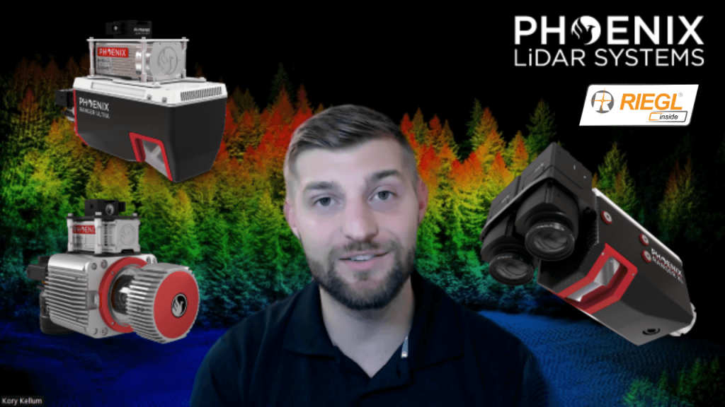
In this video, Kory Kellum from Phoenix LiDAR Systems discusses selecting the right tool for high altitude LiDAR mapping, focusing on the Ranger series. Phoenix LiDAR Systems offers the Ranger XL, Ultra, and Ranger LR, which excel in long-range capability, precision, accuracy, and point density. These systems are the lightest and highest performing on the market, capable of a 1.5 megahertz measurement rate, over a 750-meter range on 20% reflectance targets, and can produce up to 15 returns per pulse, meeting USGS quality level zero specifications.
Kory details the similarities of the Ranger systems, including their weight, performance, and compatibility with UAVs and crewed aircraft, before exploring their differences and specific use cases. The Ranger XL is ideal for high altitude mapping with a wide field of view and fast data acquisition, making it perfect for high point density corridor mapping such as power line, railway track, and pipeline inspection. It has the longest range in the Ranger lineup, suitable for high altitude projects with fixed-wing or rotorcraft.
The Ranger Ultra combines weight, range, accuracy, and pulse rate with a unique forward and rear-looking field of view to minimize laser shadowing. It features a three-faceted mirror for improved vertical surface mapping and is ideal for UAV-based high point density corridor mapping projects requiring precision and accuracy.
The Ranger LR is the most adaptable, designed for demanding mapping applications with a 360-degree field of view, making it compatible with mobile, UAV, and helicopter-based mapping. It can penetrate dense vegetation and offers unparalleled versatility.
Kory emphasizes that the Ranger series provides turnkey solutions for various mapping needs, whether for wide area, corridor, or adaptable mapping applications. He encourages viewers to like, subscribe, and contact the sales team to find the right tool for their specific needs.


