Featured Article: “Designing LiDAR Around the Workflow” from xyHt
Survey-grade mapping depends on far more than advanced sensors. It requires a complete workflow that connects mission planning, data acquisition, calibration, processing, quality control, and final deliverables into a consistent, repeatable process.
In this feature published by xyHt, Phoenix LiDAR President Rob Dannenberg discusses why the company has built its hardware, software, and deployment model around the workflow rather than individual platforms.
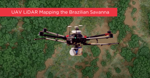
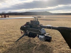
The article explores how modular hardware, integrated software, automation, and platform-agnostic design help surveying and infrastructure professionals achieve consistent results regardless of vehicle collection method. By creating a strong, singular workflow, Phoenix LiDAR users can use the same workflow regardless of the acquisition platform. For example, the RANGER-Flex system is designed to be used across vehicles: UAV, mobile, backpack, and even manned aircraft.
Read the full feature on the xyHt website to learn more about the history of UAV LiDAR and how workflow innovation continues to drive the industry forward.
Related Resources: