

Resource Type
Industry
Product Group
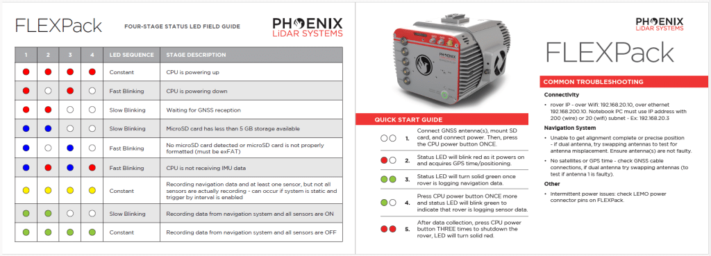
Download our RANGER Flex LED Quick Start Guide to get your LiDAR system up and running in the field.

This user manual provides a detailed overview in the use of our LiDAR mapping systems. It addresses and explains the working principles of the underlying components, the system architecture, and the required software. This manual is not intended to replace customer training. Instead, it should serve as introductory material for new users and a reference tool for experienced personnel. Use the link below to access the wiki.
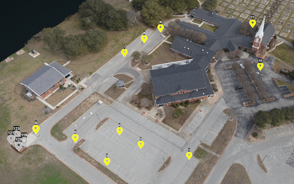
Speed: Walking pace for SLAM. 6 m/s UAV flight
Point density: thousands of points/m²
AGL: 80 during UAV flight
Acquisition time: ~2 hours
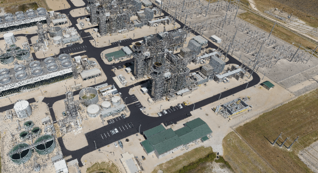
Speed: 6 m/s
Point Density: 200 points/m² per flight line
AGL: 120 m
Acquisition time: 10 minutes

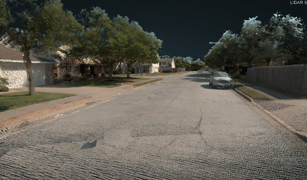
Speed: 40 – 60 mph
Point density: >2000 points/m²
AGL: Ground level
Acquisition time: 3.5 hrs
Speed: 20-40 mph
Point density: thousands of points/m²
AGL: Ground level
Speed: 50 kn
Point density: ~700 points/m²
AGL: 200 m
Acquisition time: 10 minutes