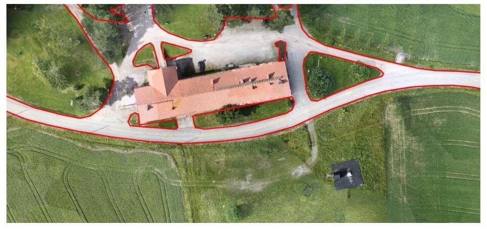
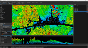
Objective
The objectives of the test campaign were:
– evaluating the accuracy of point clouds from Phoenix Aerial Systems in a realistic survey mission scenario
– testing the performance of Terrasolid software running on top of MicroStation CONNECT Edition, for calibration and further improvement of the data
The data sets were acquired with a Camflight FX8HL UAS platform and pre-processed to a trajectory file and to a point cloud file with Phoenix LiDAR Systems software. [register below to download full whitepaper]

