Speed: 6 m/s
Point Density: 200 points/m² per flight line
AGL: 120 m
Acquisition time: 10 minutes
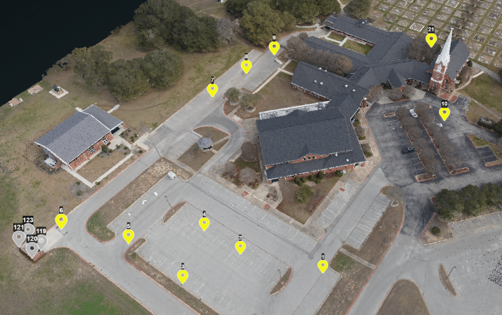
Ranger-UAV | A7R4-Lite
Date: March 29, 2024
Fill Out the Form to Download the Resource
Related Posts

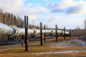
Oil & Gas LiDAR Solutions Case Study
October 9, 2024Quick Turnaround Time, Massive Data Collection, Tight Weather Window Use Case: Implementing LiDAR in Pipeline Surveys Expands Project Scope Capabilities…
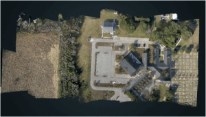
RECON-XT┃ UAS Mapping Mission
March 25, 2024Point Density: 510 points per m^2Height: 80 m AGLSpeed: 6 m/sData Acquisition Time: 3 minutes
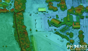
RECON-F4 | Sample Data
September 2, 2025The RECON-F4 was flown at 120 m for a mapping flight at Phoenix LiDAR's calibration site, flown at 6 m/s.