This whitepaper details the calibration testing conducted under task order G17PD01249: Alaska Critical Infrastructure UAV Airfield Obstruction Survey. The Dewberry team, in collaboration with Compass Data and Phoenix LiDAR, performed LiDAR sensor tests for the Kiana and Nulato Airfields. The testing involved the acquisition and post-processing of LiDAR data using two sensors, each flown at two different heights above ground.
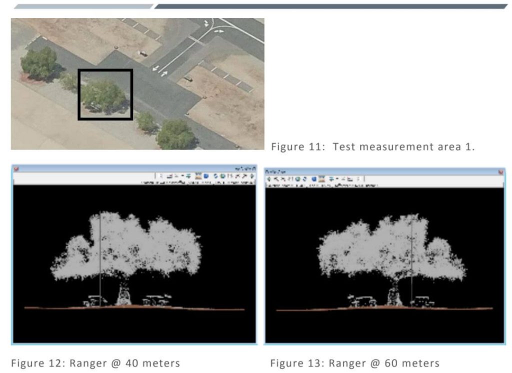
The study aimed to assess the sensors’ ability to meet project specifications, including data formatting, LAS point cloud data, smooth surface repeatability, relative accuracy, and intensity values. Additionally, the tests evaluated LiDAR density to determine the optimal sensor and flying height for identifying obstructions, geometric calibration for measurement accuracy and repeatability, radiometric testing for detecting small or low-reflectance obstructions, and measurement consistency across multiple flights.
The findings of this comprehensive testing are documented in this report, providing valuable insights into the performance and reliability of UAV-based LiDAR systems for airfield obstruction surveys.


