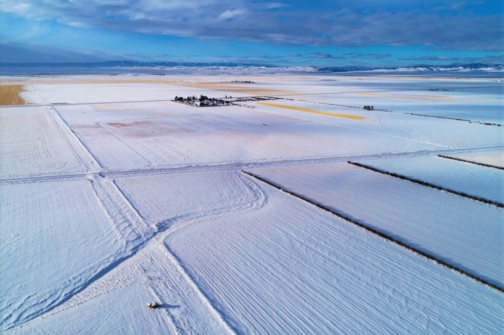
The December 2021 Phoenix LiDAR Systems webinar focused on LiDAR snow surface mapping for NASA’s SnowEx program. Jeff Rizza from DJ&A detailed a 2021 snow surface mapping project using high-resolution drone LiDAR to capture data in Montana’s prairie biome. Highlighting his experience with UAVs and LiDAR, Jeff discussed DJ&A’s collaboration with NASA and Montana State University to improve snow data collection methods.
The webinar covered Phoenix’s LiDAR systems, cold-weather challenges, and innovative survey methods for accurate snow surface mapping. Jeff showcased data insights on snow dynamics influenced by wind and vegetation and discussed processing challenges using Phoenix’s SpatialExplorer and Terascan software. The Q&A session addressed equipment, data processing, and unique SnowEx project aspects. Jeff also previewed an upcoming white paper comparing LiDAR and photogrammetry, highlighting LiDAR’s advantages in vegetation-dense areas.
