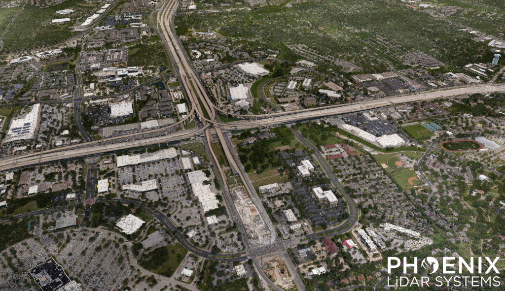
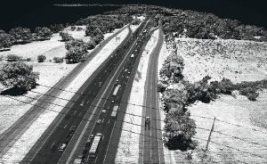
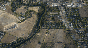
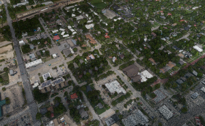
This RANGER-U580 sample dataset covers roughly 50 square miles of North Austin, Texas.
The project was flown with a Cessna 172 at 75 knots and 615 m above ground level. Data was processed in SpatialExplorer version 9.
Results:
34 points/m², per flight line
7 cm GSD
Full RANGER-U580 dataset available for download. Contact our team at sales@phoenixlidar.com for a link to download.