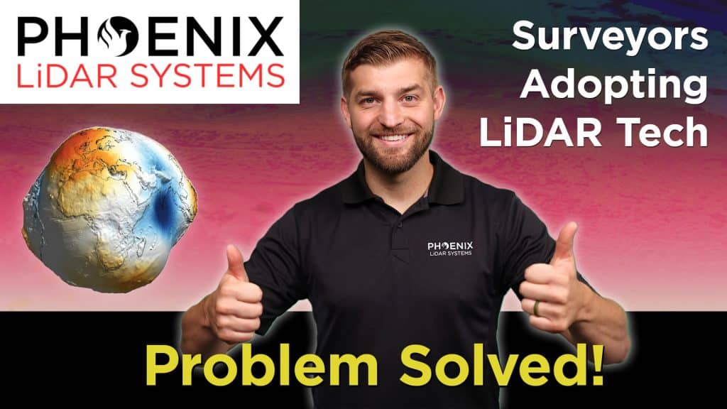
In this video, Kory Kellum from Phoenix LiDAR Systems addresses a significant challenge faced by surveyors using aerial drone LiDAR systems: aligning LiDAR data with surveyed ground control in the correct coordinate reference system. Kory explains the common issues with low-quality LiDAR software, which often only provides basic options that fail to utilize geoid models for orthometric heights, leading to inaccuracies.
The video highlights the importance of processing LiDAR data using the correct coordinate reference system from the start, emphasizing the need for high-quality LiDAR software like Phoenix LiDAR’s, which offers extensive coordinate reference system options and advanced features. Learn how to achieve the best absolute accuracy for your LiDAR projects by watching this informative video.


