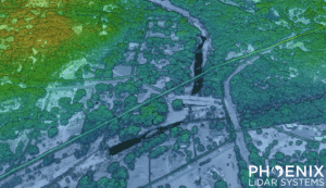
In this video, Kory Kellum from Phoenix LiDAR Systems addresses the challenges of sharing LiDAR data between service providers and end users. He introduces LiDARMill’s Cloud Viewer, a solution that simplifies the process of sharing detailed photorealistic 3D data. Traditional LiDAR data sharing methods can be cumbersome for end users who may lack the software and skills needed to view and navigate LiDAR data efficiently. Cloud Viewer eliminates these barriers by allowing users to share point clouds and geospatial data through a simple URL link, accessible on any device without the need for an account or login.
Kory explains how to use LiDARMill and Cloud Viewer to upload LAS or LAZ files, incorporate ground control points, mission trajectories, and more. Users can customize appearance parameters, create cross-sections, adjust data visualization, and even generate fly-throughs for presentations. The video emphasizes the ease of use and the powerful features of Cloud Viewer, making it an essential tool for surveyors, engineers, and other professionals who need to share LiDAR data effectively. Watch the video to learn how to streamline your LiDAR data sharing with Phoenix LiDAR’s Cloud Viewer and request a free 30-day trial to experience its benefits firsthand.


