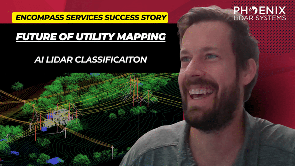
Discover the transformative power of drone-based LiDAR technology in this insightful video featuring industry experts James Kessner and Aaron Handl from Encompass Services. Explore how drones, integrated with LiDAR, are revolutionizing surveying and remote sensing by offering precise, cost-effective data collection alternatives to traditional methods.
The video delves into the environmental and technical challenges of drone LiDAR, including weather impacts and accessibility, and discusses solutions such as Trimble Business Center and LiDARMill for efficient data processing and analysis.
Learn about the importance of point cloud data classification, wire detection through dense vegetation, and the role of advanced tools like the Recon MiniRanger sensor and AI-powered software in enhancing data accuracy.
This video also highlights the applications of LiDAR data in generating imagery and orthomosaics for subsurface utility engineering projects, providing critical insights for utility companies and engineers.
Join Kessner and Handl as they navigate the complexities of drone-based LiDAR and demonstrate its vast potential in improving survey deliverables and operational efficiency.


