Phoenix LiDAR’s SpatialExplorer 7 software suite delivers a robust start-to-finish data acquisition and processing workflow where the user is in control.
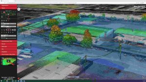
The expandable SpatialExplorer suite from Phoenix LiDAR is built to ensure that your data acquisition is a success. From mission guidance to real time point clouds and easy field QC we leave nothing to chance when it comes to data collection.
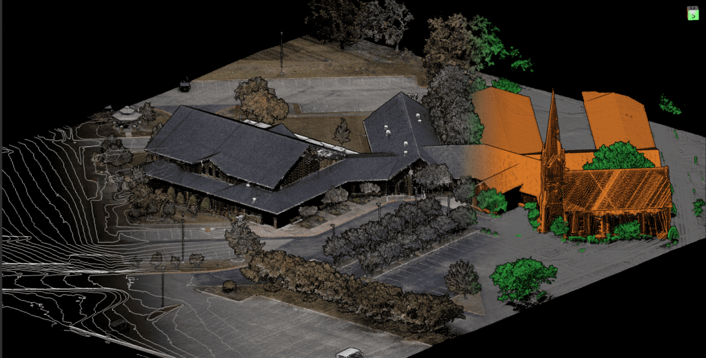
For full control over each step of data post processing this desktop software has the professional tools you’ll need. LiDARSnap and CameraSnap provide industry leading results for datasets from airborne, mobile, or other platforms. Analytic tools then transform your highly accurate data into actionable products and automatically generated quality reports.
Acquisition
– Configure all system sensor and store custom profiles to ensure the correct settings during each acquisition
Post Processing
– Cloud and local GNSS/INS trajectory processing options
MissionGuidance
– Navigation guidance for pilots and mobile vehicle operators to stay exactly on the planned course
SE7 has additional functionality with SpatialPro add-on and/or MissionGuidance add-on. Check out all the features here!


