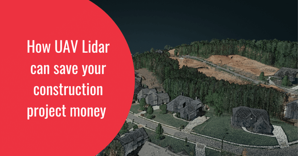
Drone LiDAR has been revolutionizing various industries for years, but its impact on the construction industry is perhaps the most significant. The construction sector, with its intricate and prolonged processes involving multiple phases and tasks, has been a prime candidate for disruption. Early adopters quickly recognized the potential of drones to streamline traditional processes, reduce costs, and enhance efficiency and safety. However, numerous untapped opportunities still exist for construction and engineering firms.
In this article, we will explore how drone LiDAR can be effectively utilized in the design, building, and delivery phases of a construction project.
Using Drone Lidar in Design & Engineering
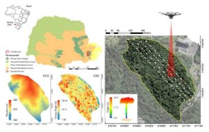
Capturing land images with drones is merely the beginning of the value they offer to construction firms. By integrating raw sensor data into advanced software such as SpatialExplorer and LidarMill, firms can generate significant value, which can be packaged and monetized through various pricing structures. While these applications are robust, they cannot entirely replace traditional surveying methods. However, by combining drone LiDAR data with standard surveying tools, construction firms can offer clients a broader range of services. These services include the ability to measure cut and fill volumes, create detailed 3D renderings of construction sites, and monitor project progress more effectively.
Drones on the Construction Site
The construction industry has rapidly adopted drones, and with good reason. Drones provide a safer and more cost-effective means to perform surveys, create as-is engineering models, and collect comprehensive data and footage from job sites. Here are some key use cases for drones on construction sites:
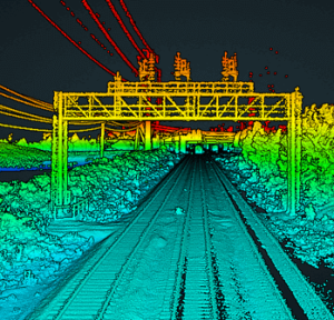
- Job Site Documentation: By obtaining the necessary permits and ensuring safe operation processes, UAVs can be flown over job sites to significantly reduce waste. This site documentation can be invaluable for both clients and legal teams, allowing project managers to demonstrate progress or the current state of a project at any point in its lifecycle.
- Cut and Fill: For earthwork, grading, and GPS precision tasks, having an accurate model is critical. Drone LiDAR can map 40 acres in less than 30 minutes, delivering a surface accuracy of 3 to 5 cm within two hours. This level of precision and efficiency can result in substantial savings for large-scale projects.
By leveraging drone LiDAR technology, construction firms can not only enhance their operational efficiency but also provide superior services to their clients, ultimately gaining a competitive edge in the industry.
Conclusion
The integration of drone LiDAR technology into the construction industry holds immense potential. From the design and engineering phases to on-site applications, drones are transforming how construction projects are executed. As the industry continues to evolve, early adopters of drone LiDAR technology will be well-positioned to lead the way, driving innovation and setting new standards for efficiency, safety, and cost-effectiveness.
