RANGER-UAV22 / LR22 LITE

KEY FEATURES

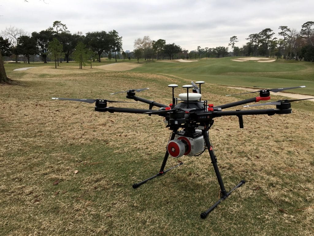
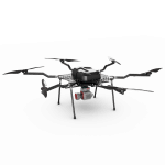
AIRCRAFT OPTIONS


PRIMARY APPLICATIONS


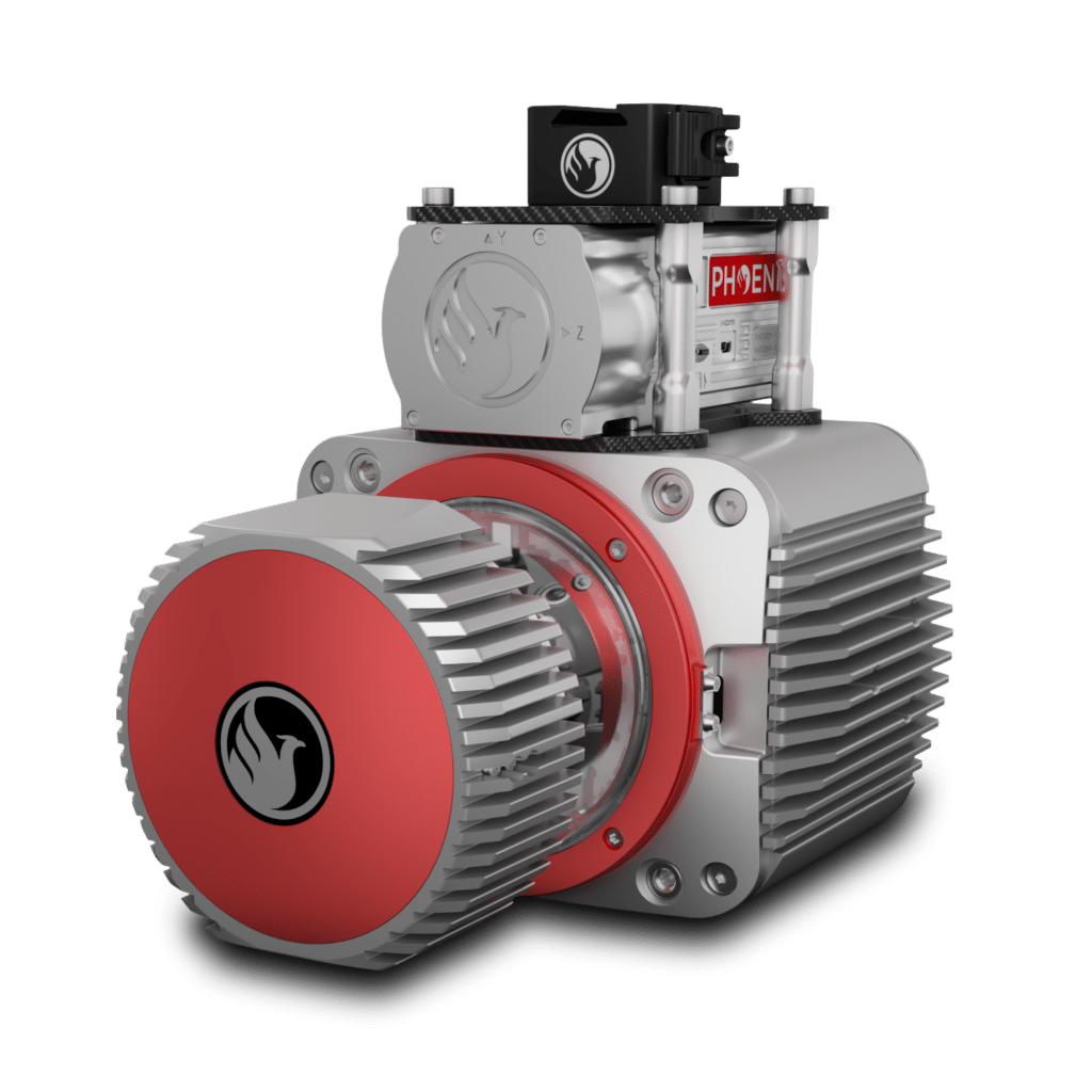
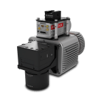
The RANGER-UAV22 LITE adds high pulse rate measurement capability to a scanner that excels at measurement accuracy. Ideal for completing UAS missions with the highest degree of data quality, this member of the RANGER lineup is vehicle-flexible and is an excellent choice to suit many roles. High-density UAS missions, detailed mobile mapping projects, and even low-altitude piloted aircraft surveys can all be conducted.
Available in two variants, ther RANGER-UAV22 has a maximum recommended AGL of 490 m and features a 1200 kHz PRR while the RANGER-LR22 is rated for up to 640 m and boasts up to a 1500 kHz PRR.
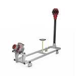
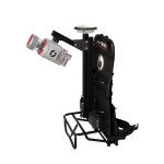
This system is available in UAV, VTOL, helicopter, vehicle, and backpack configurations, depending on your needs.
Full specifications
Accessories & Options
DIMENSIONS (mm)
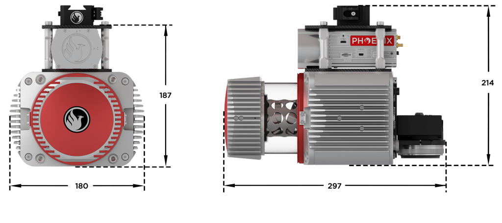
FRONT/LEFT
FRONT
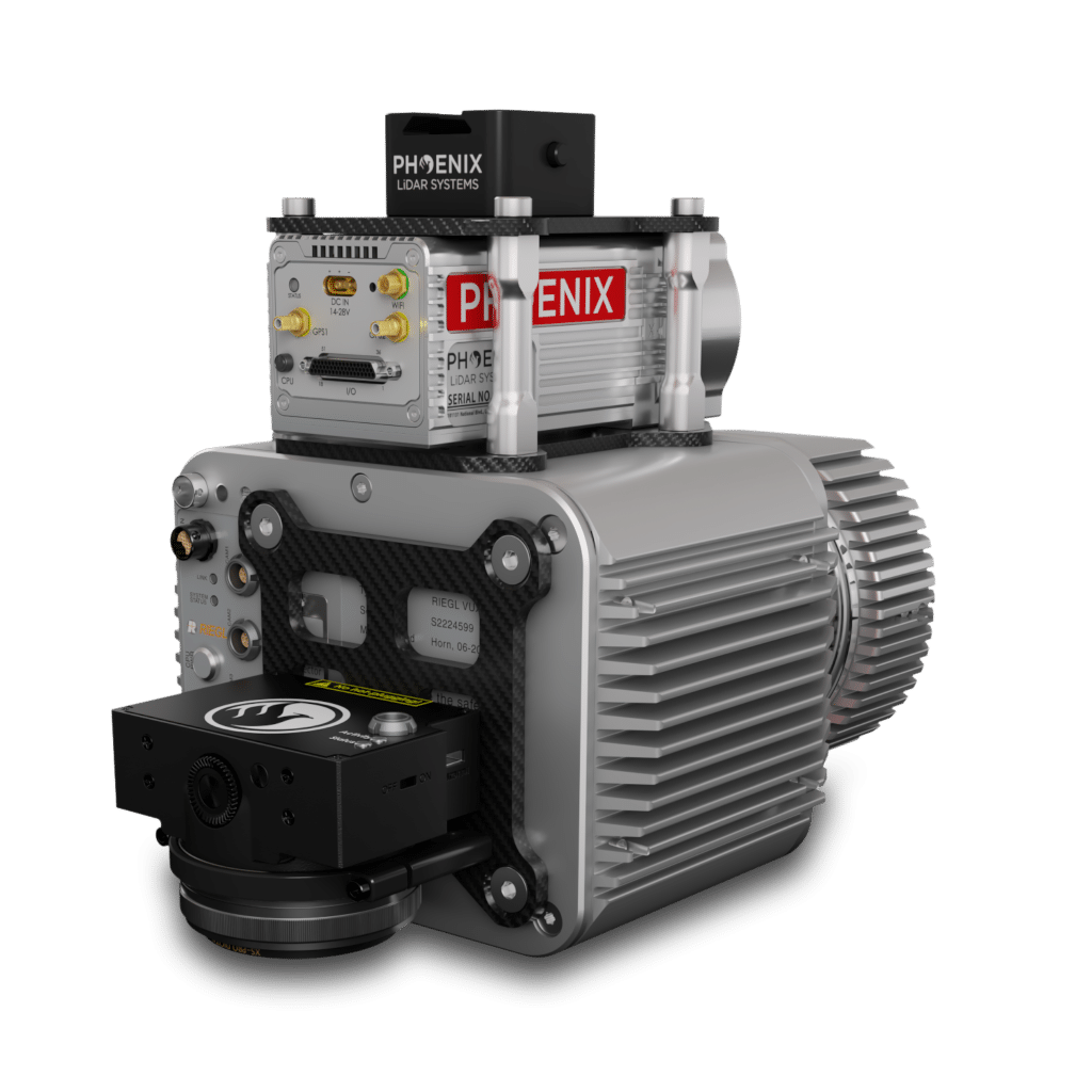
Laser Scanner
LEFT
USB
SD Card
REAR/RIGHT
REAR
Power Button
Status LED
GPS Antenna 1-2
Air NavBox
WiFi
Camera Mounting


LiDARMill enables surveying teams to take advantage of precision laser mapping without investing in expensive software & training.