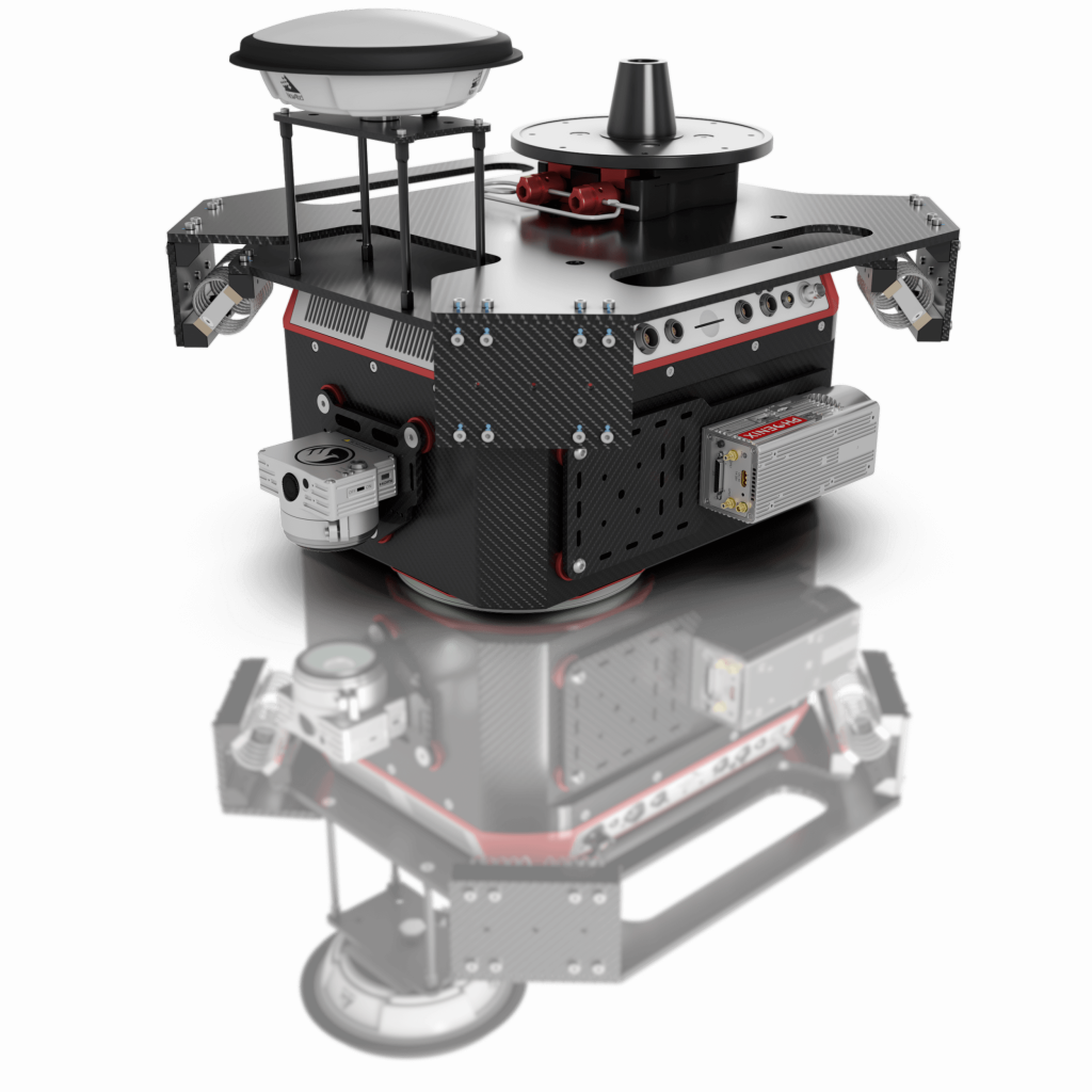
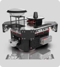
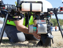
Ranger Series
RANGER-U12023

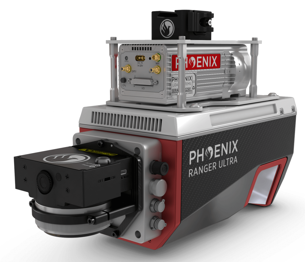
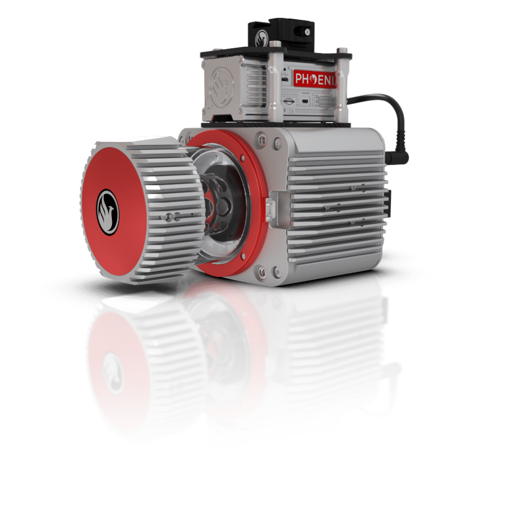
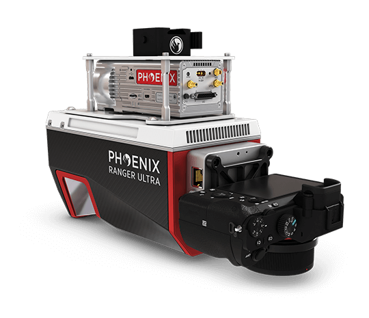
RANGER-ULTRA

RANGER-UAV22 FLEX
RANGER-UAV22 LITE
RANGER-LR22 LITE

MiniRANGER-3 LITE
Ranger Series
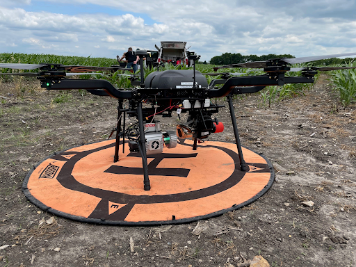
HydroRANGER
RANGER-XL

RANGER-U16023
RANGER-U12023
RANGER-ULTRA
RANGER-UAV22 FLEX
RANGER-UAV22 LITE
RANGER-LR22 LITE
MiniRANGER-3 LITE
Featured New Solutions
HydroRANGER
5.0
The Ultimate Shore-Monitoring System
500+ Reviews
Learn More
Save Time & Grow Your Business
LiDARMiLL, the first cloud-based LiDAR post-processing platform, automates your post-processing workflow so you can spend more time meeting your clients' needs and achieving your business goals.
Learn More
Flight Planner
Optimize flight, refine data, soar ahead!

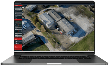
Spatial Explorer
Get a Complete Software Suite from Phoenix LiDAR Systems

Mission Guidance
Get a Complete Software Suite from Phoenix LiDAR Systems
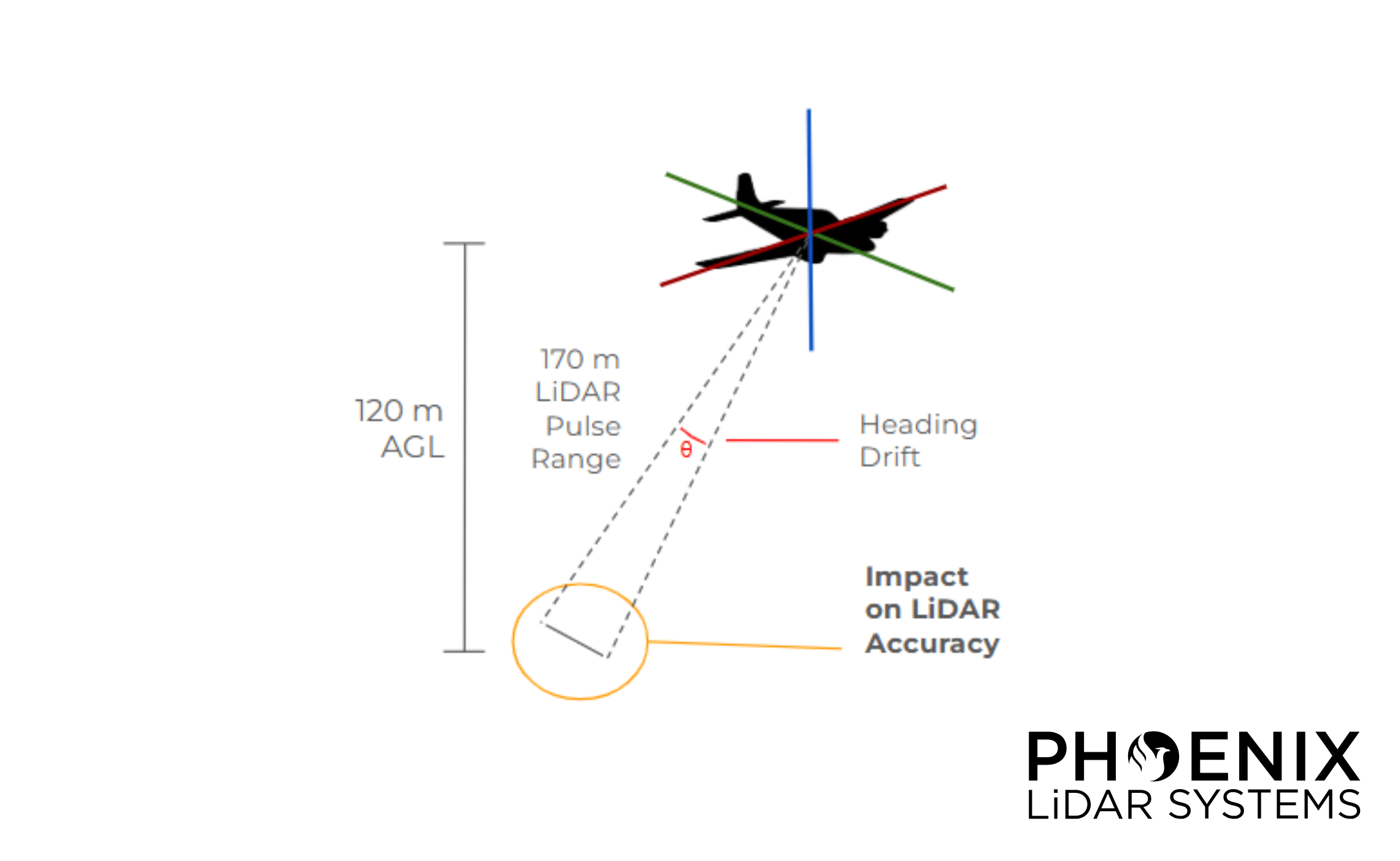
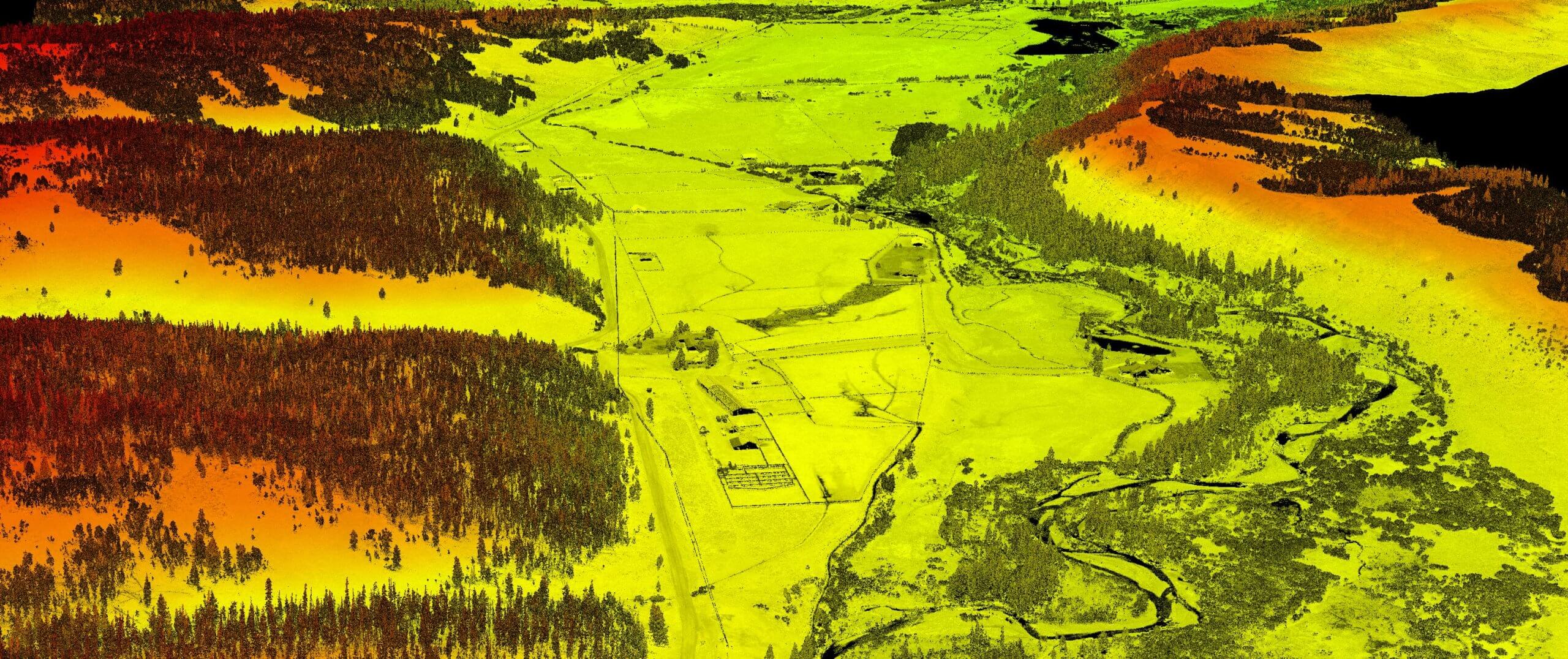
Phoenix LiDAR Case Study: IMU Heading Drift Rate Analysis
Learn MoreLiDAR remote sensing systems utilizing GNSS/INS are reliant on the integration ofan accurate Inertial Measurement...
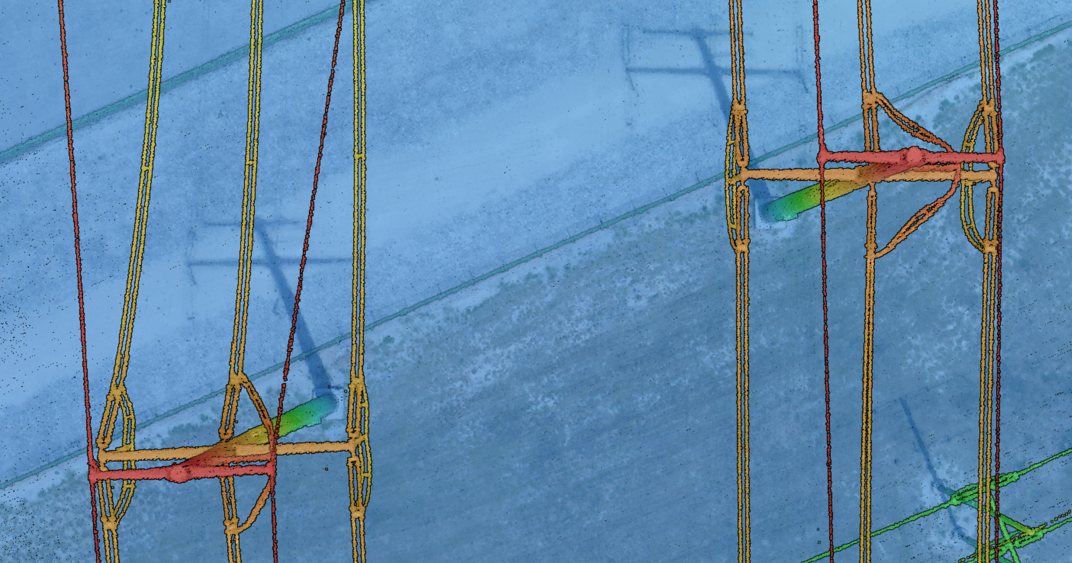
Power Utility Solutions with Aerial LiDAR
Learn MoreUtility companies managing power transmission networks face complex challenges in monitoring and maintaining infrastructure. The...
Surveying & Engineering Solutions LiDAR Case Study
Learn MoreSafer and Faster, Higher Resolution, Survey Grade Accuracy Use Case: How UAV-based LiDAR Has Transformed...

Oil & Gas LiDAR Solutions Case Study
Learn MoreQuick Turnaround Time, Massive Data Collection, Tight Weather Window Use Case: Implementing LiDAR in Pipeline...
Helicopter LiDAR Solutions Case Study
Learn MoreHigh Point Density, High Accuracy, High Measurement Range Use Case: Mapping the Rocky Mountain Foothills...
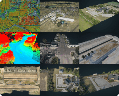
Resource Library
Dive into Our Resource Library!
- Industries
- Products
- Articles
- Case Study
- Sample Data
- Videos
- Webinar
- Whitepaper

Overview
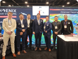
Learn MorePhoenix LiDAR Systems was established in 2013 as Phoenix Aerial Systems with the goal of...
Careers
Learn MoreWe’re growing! If you’re the right candidate, we’d love to meet you.
Latest News
Learn MoreDiscover the latest updates, insights, and innovations waiting for you

Press Release
Learn MoreExplore a wealth of information by browsing through the collection of published press releases and...
Customer Testimonials
Learn MoreSafer and Faster, Higher Resolution, Survey Grade Accuracy
Contact Us
Learn MoreGeneral Inquiries | Interested in Becoming a Distributor? | Need Support?
Support
Learn MoreHelp at every step along the way. Need to speak with a support technician now
Request a Quote
Learn MoreDiscover the latest updates, insights, and innovations waiting for you
Feature Request & Feedback
Learn MoreExplore a wealth of information by browsing through the collection of published press releases and...