Webinar
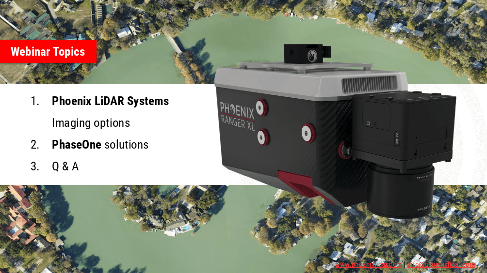
Join the Phoenix LiDAR Systems webinar on advanced imaging systems, held on April 21, 2021. Hosted by Conrad Conterno, Head of Post-Processing, and Justin Wyatt, VP of Sales at Phoenix LiDAR Systems, along with Nick Nelio, Inspection Sales Manager for Phase One, this session dives into how Phoenix LiDAR’s data collection tools integrate with Phase One’s cutting-edge imaging systems to enhance remote sensing capabilities.
Conrad Conterno opens with an overview of Phoenix LiDAR’s custom mapping solutions, emphasizing LiDAR sensor integration for superior data acquisition and analysis. He introduces various advanced camera options, including the lightweight custom A6K Light for UAV-based mapping, dual oblique cameras for enhanced colorization, multispectral solutions for detailed vegetation analysis, thermal mapping cameras for environmental monitoring, and hyperspectral sensors for precise spectral analysis.
Nick Nelio then showcases Phase One’s high-resolution, medium-format cameras, focusing on the 4-band solution that combines RGB and near-infrared imagery, ideal for crop analysis and environmental monitoring. He also presents the Phase One P3 payload for inspection applications and the IX Mach 5 controller designed for efficient geospatial missions.
Throughout the webinar, the benefits of direct geo-referencing and the seamless integration of multiple sensors into single payloads are highlighted. The hosts address audience questions on the accuracy of dual-camera systems, post-processing challenges, and the applications of hyperspectral imaging.
The session concludes with Justin Wyatt and Nick Nelio emphasizing their collaborative approach to delivering tailored solutions and inviting viewers to contact them for personalized consultations.
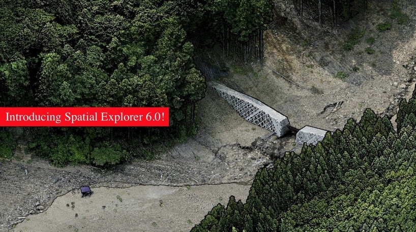
Join Phoenix LiDAR Systems in their March 2021 webinar as they unveil their latest software releases, Spatial Explorer 6 and 6 Pro. Hosted by Terry Owens from the sales team and Conrad Conterno, head of post-processing, this informative session provides an in-depth overview of Phoenix LiDAR’s innovative multi-platform solutions and industry-leading advancements.
Learn about the comprehensive features of Spatial Explorer 6 and 6 Pro, from basic sensor control and data export to advanced calibration and post-processing tools. Discover how the new A-to-Z workflow integrates NavLab for seamless trajectory processing, and explore enhanced features like automated bore sighting, LiDARSnap, and CameraSnap for optimized data accuracy.
The webinar also includes a detailed Q&A session, addressing compatibility, geoid applications, and software comparisons, with insights from CTO Ben Adler. Don’t miss this opportunity to see how Spatial Explorer 6 Pro can streamline your LiDAR data processing and deliver superior results.
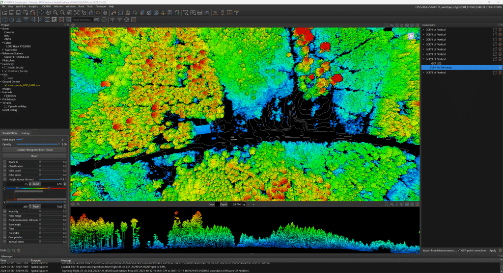
In this informative presentation by Kory Kellum from Phoenix LiDAR Systems, viewers will gain a comprehensive understanding of UAS LiDAR systems. Kory delves into the essential components of a LiDAR system, such as the LiDAR sensor, GNSS antenna, IMU, data storage, CPU, and optional camera, emphasizing the need for high-quality trajectories through post-processed kinematic (PPK) methods and bore site calibration.
He outlines the critical steps in processing UAS LiDAR data, from mission planning to classification, and categorizes LiDAR systems based on precision, accuracy, point density, and maximum range. Corey also compares multi-laser and single-laser sensors, discusses the selection of GNSS antennas and IMUs, and provides an overview of current LiDAR systems like the Ranger series, and Scout series. The presentation highlights the benefits of co-acquiring imagery and features examples of data outputs to illustrate system performance.
Concluding with a Q&A session, this video is a must-watch for those interested in selecting the right LiDAR system for their specific needs and budget.
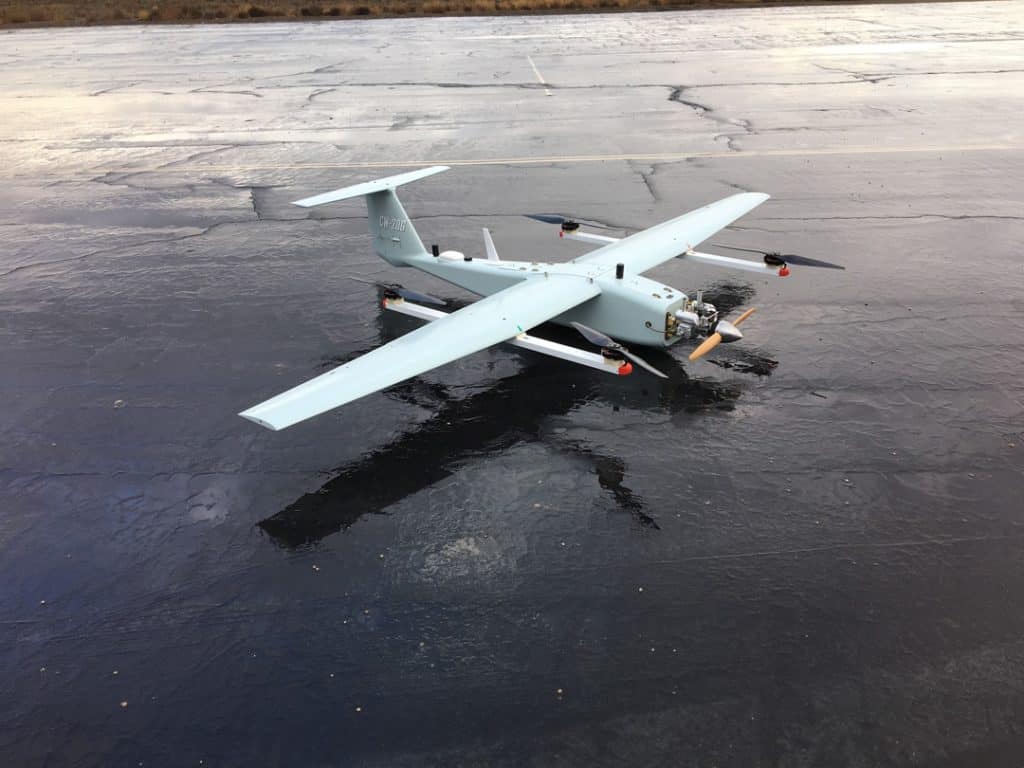
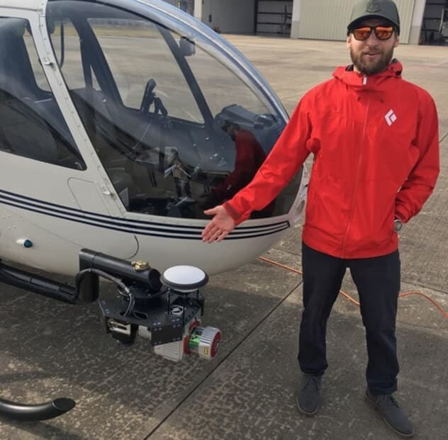
Join Phoenix LiDAR Systems in their fourth webinar, introducing the company’s cutting-edge, survey-grade LiDAR mapping systems and automated processes. Discover their pioneering achievements, including the world’s first fixed-wing VTOL UAV LiDAR system. This webinar delves into challenging UAV LiDAR applications, such as powerlines, dense vegetation, corridor mapping, and wide-area mapping. Sam, the chief pilot, highlights the capabilities of the TerraHawk CW-20 and CW-30 fixed-wing VTOL UAVs, known for their long flight durations, RTK positioning, and flexible takeoff and landing.
Grayson Omans, CEO, underscores the importance of extended airborne LiDAR operation and efficient system integration. Senior Post-Processing Manager, Conrad, showcases impressive datasets from various terrains, demonstrating the high-density lidar data captured by the TerraHawk UAVs and Scout Ultra and Ranger LRT systems.
The team addresses viewer questions, and Eric Agnello, Director of Sales, announces the Scout series relaunch with new sensor options. The webinar concludes with details on upcoming events and an invitation for feedback and future webinar topic suggestions.
Join Phoenix LiDAR Systems’ latest webinar where Director of Marketing Vu Winn discusses UAV LiDAR post-processing tips and tricks. Designed to provide continuing education and streamline LiDAR data collection, this session highlights Phoenix’s pioneering role in developing the first commercial UAV LiDAR system and their ongoing technological innovations.
LiDAR post-processing engineer Eric McNeil showcases essential software tools such as SpatialExplorer, Inertial Explorer, and the cloud-based LiDARMill. Eric covers critical steps from initial field checks to detailed trajectory processing, making complex tasks accessible even to beginners. Viewers gain insights into accurate data handling, troubleshooting, and optimization techniques.
The webinar also includes a Q&A session addressing specific software features and techniques. Concluding with updates on upcoming events and an invitation for feedback, the Phoenix LiDAR Systems team remains available to support attendees.
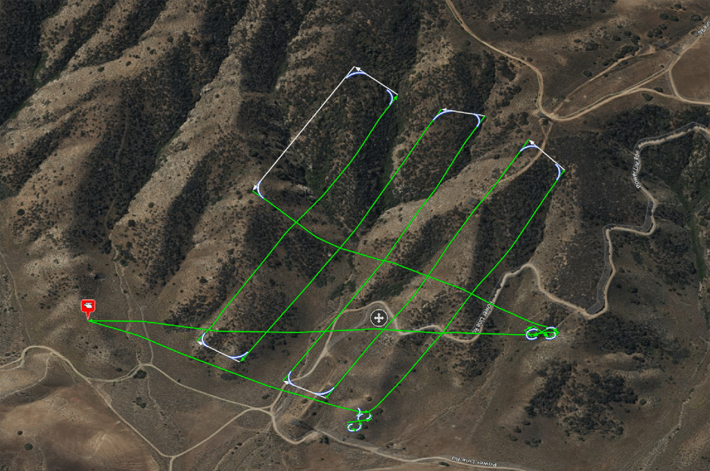
Join Phoenix LiDAR Systems in this informative webinar where Vu Winn, Director of Marketing, emphasizes ongoing education and value for their global client base. The focus is on UAV LiDAR flight planning and best practices for data collection. Chief Pilot Sam Girardi, with 25 years of drone flying experience, demonstrates the Phoenix FlightPlanner software, detailing the process of creating flight plans, setting LiDAR parameters, and ensuring safe data collection.
Key topics include the importance of pre-flight checks, smooth turns, and terrain following. Sam also discusses the significance of testing flight paths with smaller drones and proper lithium battery safety. The team, including post-processing engineer Erik McNeil and sales director Eric Agnello, addresses audience questions on elevation model accuracy, LiDAR versus photogrammetry flight planning, and Litchi software capabilities.
The webinar concludes with an invitation to explore the Phoenix FlightPlanner, a preview of new products like the expanded Scout series and MiniRanger series, and upcoming features in LiDARMill. Stay connected for updates and send feedback for future webinars.