SCOUT-X
KEY FEATURES

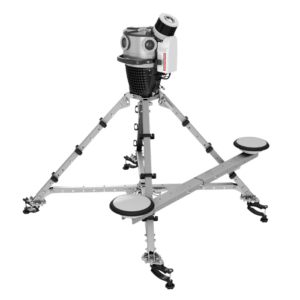
VEHICLE OPTIONS

PRIMARY APPLICATIONS


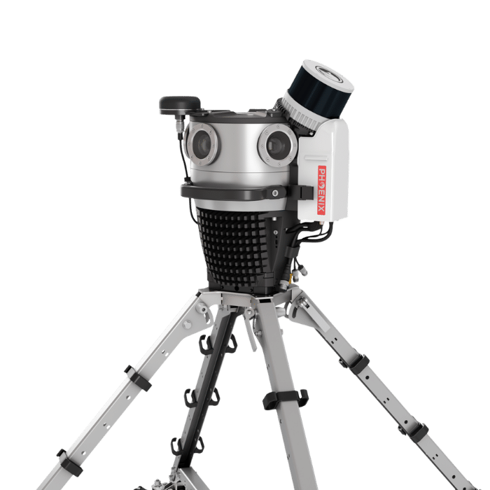
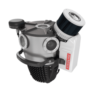
The SCOUT-X is a fully integrated LiDAR and panoramic imaging solution purpose-built for the Mosaic X camera platform. The SCOUT-X adapts the proven Phoenix Scout-M2X into a streamlined, camera-mounted configuration that delivers cleaner integration, improved performance, and faster deployment. Designed as a true all-in-one mapping solution, the SCOUT-X combines LiDAR and high-resolution imaging into a compact, vehicle-ready system.
By mounting the LiDAR directly to the Mosaic X at an elevated position, the SCOUT-X achieves superior 360° coverage with fewer platform obstructions. The steeper 30° scan angle improves laser incident angle on the ground, resulting in enhanced point precision, stronger surface intensity returns, and higher quality data capture. Better coverage. Better precision. Better data.
Features:
- Elevated, obstruction-reduced 360° LiDAR coverage
- Removable micro-SD Express storage for rapid data transfer
- Clean, integrated cabling, power and Ethernet only
- Optional dual GNSS antenna upgrade
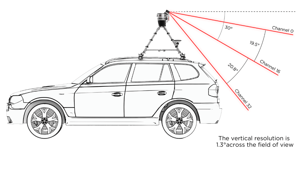
CHANNEL VERTICAL DISTRIBUTION
Full specifications
Options & Mounts
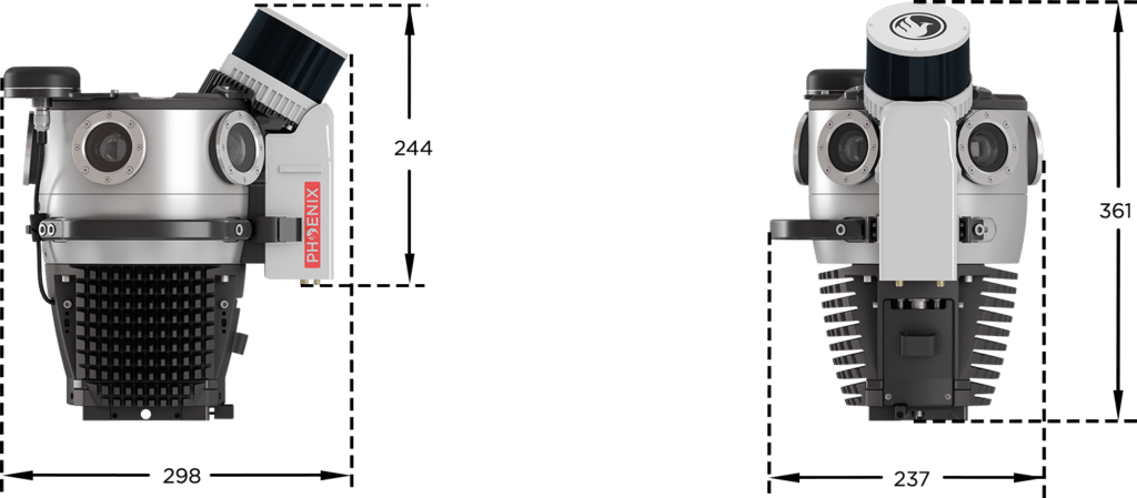
Dimensions


LiDARMill enables surveying teams to take advantage of precision laser mapping without investing in expensive software & training.