Customize Consent Preferences

We use cookies to help you navigate efficiently and perform certain functions. You will find detailed information about all cookies under each consent category below.

The cookies that are categorized as "Necessary" are stored on your browser as they are essential for enabling the basic functionalities of the site. ... 

Always Active

Necessary cookies are required to enable the basic features of this site, such as providing secure log-in or adjusting your consent preferences. These cookies do not store any personally identifiable data.

No cookies to display.

Functional cookies help perform certain functionalities like sharing the content of the website on social media platforms, collecting feedback, and other third-party features.

No cookies to display.

Analytical cookies are used to understand how visitors interact with the website. These cookies help provide information on metrics such as the number of visitors, bounce rate, traffic source, etc.

No cookies to display.

Performance cookies are used to understand and analyze the key performance indexes of the website which helps in delivering a better user experience for the visitors.

No cookies to display.

Advertisement cookies are used to provide visitors with customized advertisements based on the pages you visited previously and to analyze the effectiveness of the ad campaigns.

No cookies to display.

Log In
Login to Phoenix LiDar System

VUX vs. Avia Sensors for Vegetation and Terrain Analysis

Reading time: 1 minutes
Date: November 20, 2023

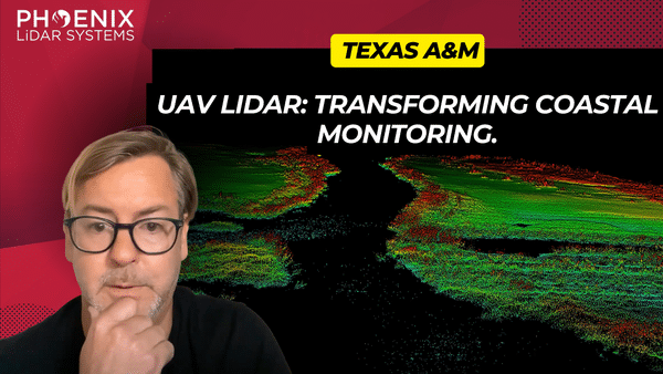
This video presents a detailed comparative analysis of two leading LiDAR sensors, the VUX and Avia, within the geomatics sector. Focusing on their performance in capturing precise vegetation and terrain data, the video highlights the VUX sensor’s superior precision, energy penetration, and pulse rate, making it ideal for challenging environments like dense forests.

The research also explores the integration of unmanned aircraft systems (UAS) with LiDAR technology, showcasing the potential of the Riegl Vux 1LR and Live OXAVIA sensors. Key insights include the Department of Transportation’s interest in UAS for crash scene reconstructions and surveying, illustrating the need for efficient data collection methods.

Phoenix LiDAR Systems is featured for its advanced UAS LiDAR solutions and Spatial Explorer Pro software, emphasizing the increasing importance of LiDAR technology in geomatics, especially for environmental applications like wetlands where accurate elevation data is crucial.
Fill Out the Form to Download the Resource

Related Posts