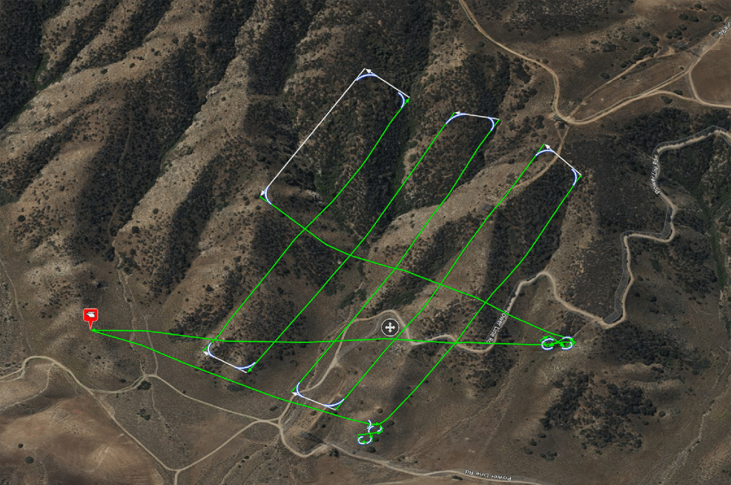
Join Phoenix LiDAR Systems in this informative webinar where Vu Winn, Director of Marketing, emphasizes ongoing education and value for their global client base. The focus is on UAV LiDAR flight planning and best practices for data collection. Chief Pilot Sam Girardi, with 25 years of drone flying experience, demonstrates the Phoenix FlightPlanner software, detailing the process of creating flight plans, setting LiDAR parameters, and ensuring safe data collection.
Key topics include the importance of pre-flight checks, smooth turns, and terrain following. Sam also discusses the significance of testing flight paths with smaller drones and proper lithium battery safety. The team, including post-processing engineer Erik McNeil and sales director Eric Agnello, addresses audience questions on elevation model accuracy, LiDAR versus photogrammetry flight planning, and Litchi software capabilities.
The webinar concludes with an invitation to explore the Phoenix FlightPlanner, a preview of new products like the expanded Scout series and MiniRanger series, and upcoming features in LiDARMill. Stay connected for updates and send feedback for future webinars.


