Customize Consent Preferences

We use cookies to help you navigate efficiently and perform certain functions. You will find detailed information about all cookies under each consent category below.

The cookies that are categorized as "Necessary" are stored on your browser as they are essential for enabling the basic functionalities of the site. ... 

Always Active

Necessary cookies are required to enable the basic features of this site, such as providing secure log-in or adjusting your consent preferences. These cookies do not store any personally identifiable data.

No cookies to display.

Functional cookies help perform certain functionalities like sharing the content of the website on social media platforms, collecting feedback, and other third-party features.

No cookies to display.

Analytical cookies are used to understand how visitors interact with the website. These cookies help provide information on metrics such as the number of visitors, bounce rate, traffic source, etc.

No cookies to display.

Performance cookies are used to understand and analyze the key performance indexes of the website which helps in delivering a better user experience for the visitors.

No cookies to display.

Advertisement cookies are used to provide visitors with customized advertisements based on the pages you visited previously and to analyze the effectiveness of the ad campaigns.

No cookies to display.

Log In
Login to Phoenix LiDar System
Survey Grade LiDAR

What Is Survey Grade LiDAR?

Reading time: 1 minutes
Date: October 10, 2022

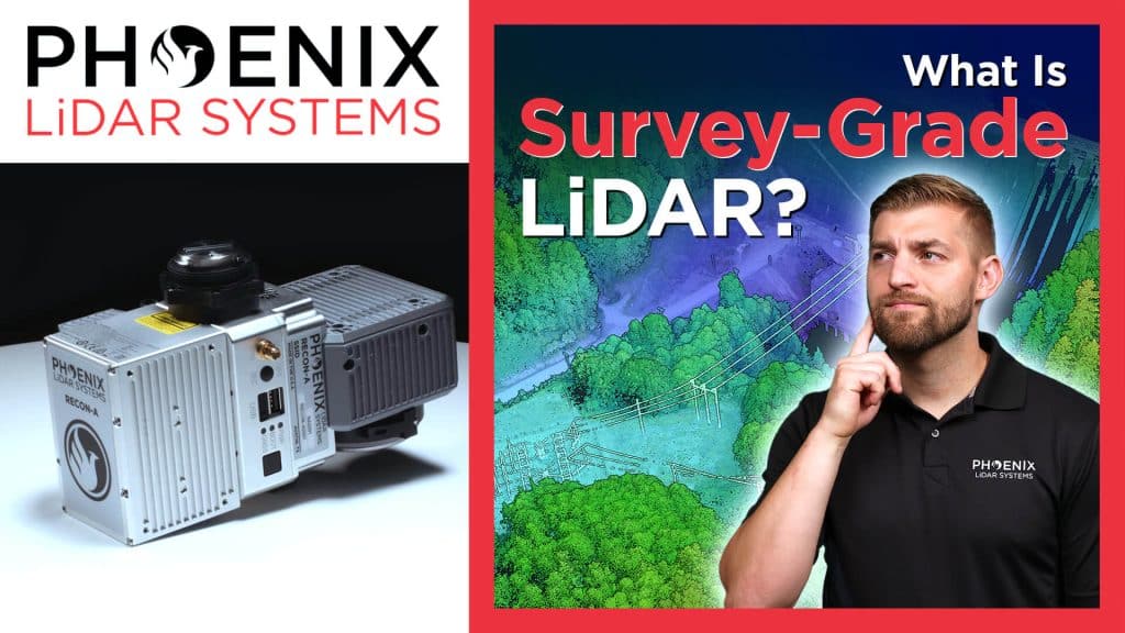
In this video, Kory Kellum from Phoenix LiDAR Systems explains the meaning behind the term “survey grade LiDAR” and explores different grades of LiDAR with their benefits and drawbacks. Corey delves into the history and context of survey grade accuracy, highlighting how modern tools achieve precise measurements. He defines survey grade accuracy, typically around 10 centimeters or better, and discusses the American Society for Photogrammetry and Remote Sensing’s positional accuracy standards.

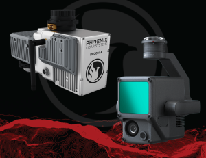
The video covers various accuracy classes of LiDAR, from one centimeter to over three meters, and explains their applications. It emphasizes the importance of choosing the right LiDAR system for specific needs, whether it’s high accuracy drone-based surveys or large-scale mapping projects. Phoenix LiDAR Systems offers a range of solutions that meet these varying requirements, ensuring precise and reliable results.
Fill Out the Form to Download the Resource

Related Posts