
KEY FEATURES

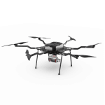
AIRCRAFT OPTIONS


PRIMARY APPLICATIONS


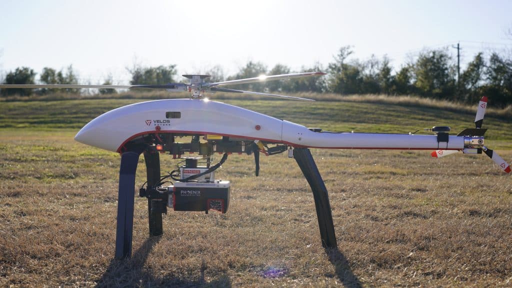
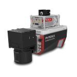
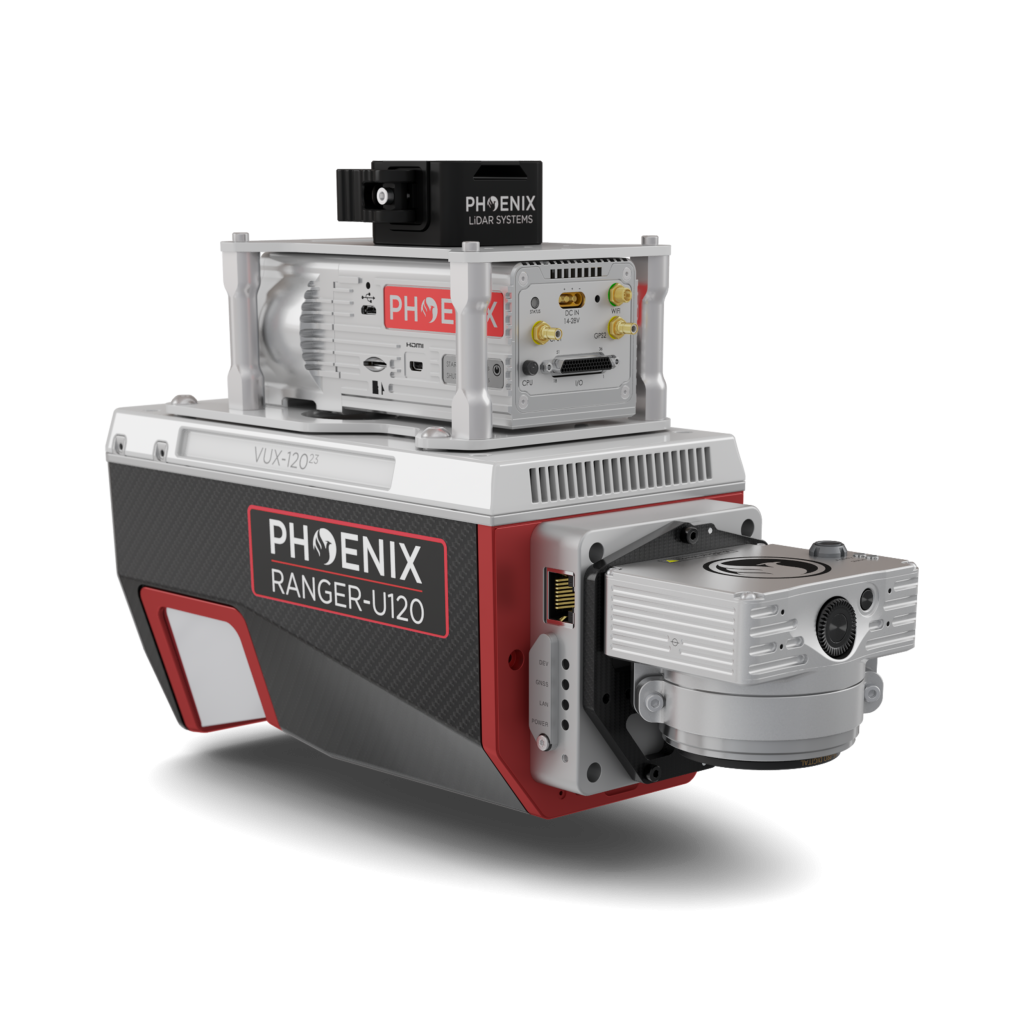
The RANGER-U120 is an airborne laser scanner that delivers an impressive combination of lightweight design, range, accuracy, and pulse rate. Featuring the Riegl VUX-12023 with a unique forward- and rear-looking field of view, it is engineered to minimize laser shadowing and capture detailed geometry on complex vertical structures in a single pass. With a wide 100-degree field of view and an extremely fast pulse repetition rate of up to 2400 kHz, the RANGER-U120 is ideally suited for high point density corridor mapping applications such as power line, railway track, and pipeline inspection.
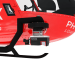
Phoenix LiDAR offers several RANGER-U120 camera accessories as well as UAV and manned aircraft attachment options.
Check out the spec sheet to learn more about this amazing addition to the RANGER series!
Features:
- RGB camera options ranging from 24 MP to 120 MP for maximum project flexibility
- Easily mountable to unmanned platforms (UAVs), as well as helicopters, gyrocopters, and other small manned aircraft
- Operating flight altitude up to 720 m / 2,350 ft
- Scan speed up to 400 lines per second
- Three-faceted mirror (-10°, 0°, +10°) creates a virtual multi-laser configuration for improved mapping of vertical surfaces
Full specifications
*Without accessories
Accessories & Options
DIMENSIONS (mm)
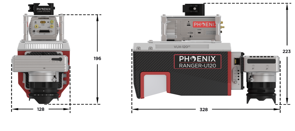
FRONT/LEFT
FRONT
Laser Scanner
LEFT
USB
SD Card
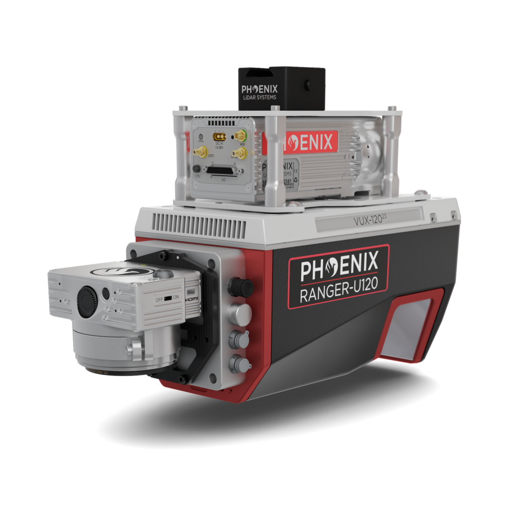
REAR/RIGHT
REAR
Power Button
Status LED
GPS Antenna 1-2
Air NavBox
WiFi
Camera Mounting
RIGHT
Accessory Mounting


LiDARMill enables surveying teams to take advantage of precision laser mapping without investing in expensive software & training.