In addition to Phoenix LiDAR Systems comprehensive SpatialExplorer Pro post processing software, we proudly offer TerraSolid products to customers with additional application specific needs. The Terrasolid software suite provides versatile and capable tools to create 3D vector models, feature extractions, batch processing, terrain representations, advanced point cloud visualizations, etc., no matter the data source, no matter the sensor.
TerraScan
Go even further with TerraScan
Automatic classification routines can be combined in macros for batch processing. Using TerraBatch macros can be executed outside TerraScan even on other workstations over a LAN. License to run TerraBatch on the same computer than TerraScan is included giving you the ability to utilize your computer 24×7.
TerraScan supports several import and export formats, including the LAS and LAZ formats, TerraScan Binary formats, as well as user defined ASCII formats.
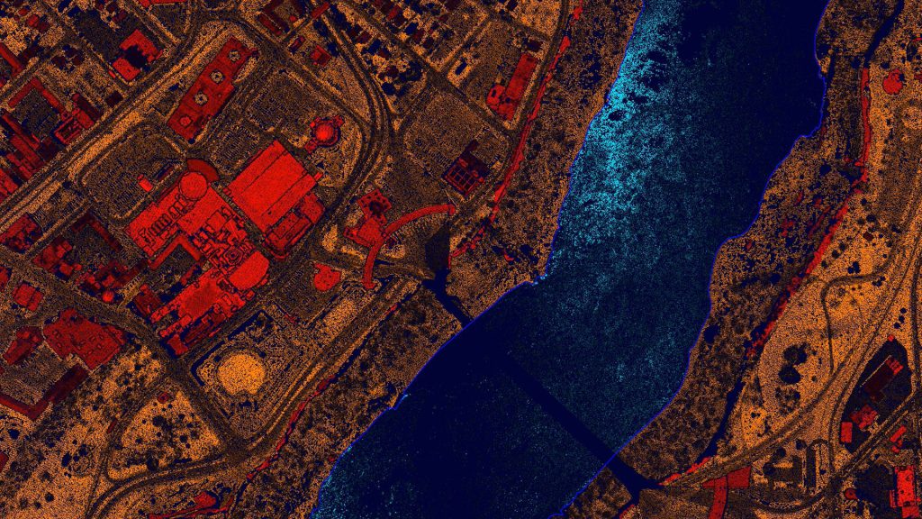
TerraModeler
Additional functionality includes the production of contour lines and lattice models in batch processing, modification of the TIN, creation of profiles, calculation of volumes, calculation of elevation or volume differences between multiple surface models, several labeling options as well as other tools for design purposes. Completed with various export options, TerraModeler is a versatile tool for many kinds of design and modeling tasks.
TerraModeler is available in Full, UAV and Lite versions
TerraModeler can use many different surface sources
Creation of surface models from several sources, e.g. laser points, breakline elements, xyz text files delivering the best possible results for the analysis or end product.
Contour line production
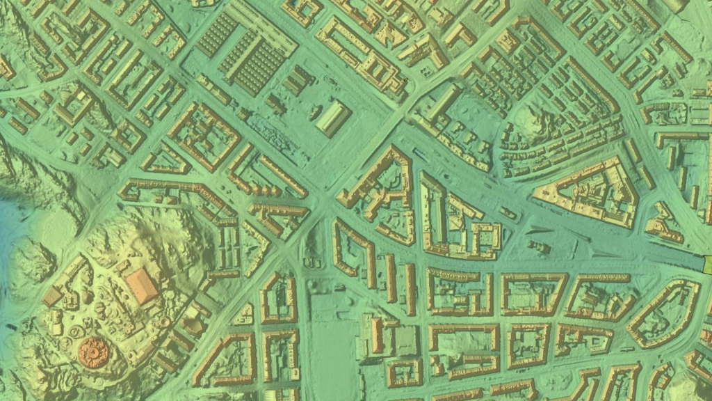
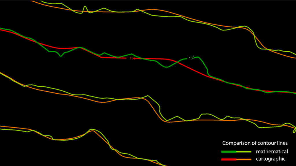
Contours are the traditional and familiar way of depicting elevation differences on a map. LiDAR produces a point cloud that represents the ground and objects on it. Points classified with TerraScan can be used as basis for contour line creation in TerraModeler. Terrasolid software distinguishes two types of contour lines. There are mathematical contour lines which follow the elevations of the laser points very accurately but are not very useful for mapping purposes and cartographic contour lines which are smooth and nice-looking but less accurate.
TerraMatch
TerraMatch is available in Full and UAV versions
TerraPhoto
TerraPhoto is available in Full, UAV and Lite versions
Ortho-rectification of Images and Data Visualization
Besides starting a camera calibration from scratch, TerraPhoto is able to convert calibration files from several mobile and airborne systems into its own camera file format. It reads numerous image formats, such as ECW, GeoTIFF, TIF, BMP, CIT, COT, RLE, PIC, PCX, GIF, JPG2000 and PMG.

Combine TerraPhoto with other Terra applications
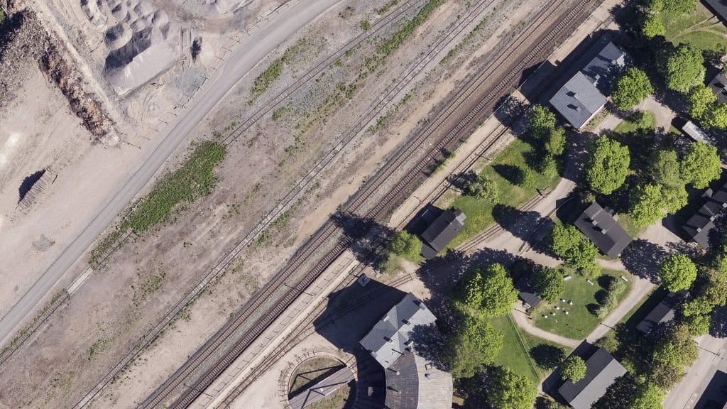
TerraPhoto offers many tools for visualizing laser and image data together, partly in combination with tools from TerraScan and TerraModeler. This includes the opportunity of draping ortho photos on a ground model or on building roofs, the creation of wall textures from horizontally-looking cameras of mobile or airborne systems, as well as the display of rendered views. With TerraPhoto you can also create fly-through animations from laser and image data in an easy and intuitive way. Finally, the extraction of color values from images or ortho photos to laser points can be performed with TerraPhoto and TerraScan.
TerraBatch
Processing massive amounts of laser points and images can be a real challenge to a single PC. With TerraBatch you can distribute time- and resource-consuming tasks such as TerraScan macro execution to several PCs over a LAN and thus, free your own workstation for other processing steps.
Right to run TerraBatch on the same computer than TerraScan is included into TerraScan license giving you the ability to utilize the power of your computer 24×7. Additional licenses can be purchased separately.


LiDARMill enables surveying teams to take advantage of precision laser mapping without investing in expensive software & training.