Webinar
Discover the future of forest analysis with drone and LiDAR technology in this video. Led by Evan Braubin, an associate professor at the University of Florida, the GatorEye research program is revolutionizing how we study forests. Using the Harris Aerial H6 platform and the high-resolution GatorEye XTR system, drones equipped with LiDAR and hyperspectral sensors provide unparalleled insights into forest structure and species distribution.
The video highlights the integration of sensor fusion, combining visual, auditory, and temperature data for a comprehensive understanding of the forest environment. Learn about the Phoenix SpatialExplorer algorithm, which enhances data density and accuracy by meticulously calibrating flight parameters.
Braubin’s collaboration with Phoenix LiDAR has propelled his research, developing advanced systems like the OrkCS and Orca CS ground stations. This innovative approach is transforming forest analysis, uncovering the intricate impact of vegetation on animal movement and distribution.
Explore the groundbreaking advancements in remote sensing and forest analysis in this video, featuring keywords such as LiDAR technology, drone sensor fusion, GatorEye, hyperspectral sensors, Harris Aerial, and Phoenix SpatialExplorer. Welcome to the future of forest analysis!
Join Pete Kelsey, owner of VCTO Labs, as he showcases the transformative power of 3D virtualization and LiDAR technology in storytelling. This video highlights Pete’s expertise in creating visually stunning 3D models of historic sites like Easter Island and the USS Arizona. By integrating LiDAR with GNSS, Pete crafts detailed digital representations of physical assets, bringing data to life.
Featuring the Recon XT GNSS LiDAR system mounted on the DJI M300 drone, this video demonstrates how Drone LiDAR technology captures intricate details from above, creating immersive narratives. Pete’s collaboration with Phoenix LiDAR provides the cutting-edge hardware and software that make these projects possible.
One standout project is Skinwalker Ranch in Utah, where Pete uses LiDAR to create a digital twin of the site, offering precise measurements and virtual tours of this enigmatic location. Pete’s dedication to his craft and partnership with Phoenix LiDAR exemplify his commitment to excellence and innovation.
Explore the world of 3D virtualization and LiDAR technology with Pete Kelsey and VCTO Labs. For more information and to connect with the community, visit vcqlabs.com. Welcome to the future of storytelling through 3D models and LiDAR.
Join Kory Kellum, Senior Software Engineer at Phoenix LiDAR Systems, as he explores the advanced capabilities of Phoenix LiDAR’s mapping technology in their May 2022 webinar. Phoenix LiDAR specializes in compact, adaptable, survey-grade systems for various platforms like UAVs, cars, and backpacks, and offers robust post-processing software, including LiDARMill and SpatialExplorer Pro.
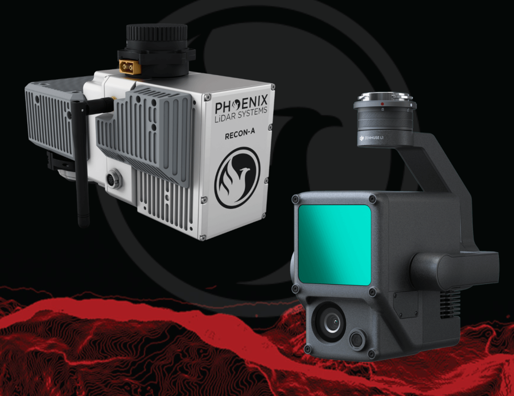
Phoenix LiDAR, based in Austin, Texas, contrasts with DJI’s recent entry into the LiDAR market. Phoenix offers comprehensive solutions, ensuring high-quality data acquisition and processing, supported by robust customer service. The Recon A system, with its superior APS-C camera sensor and vibration dampening kit, is compared to DJI’s Zenmuse L1, which is limited to the Matrice 300. The Recon A’s IMU is notably more accurate, reducing drift and improving data reliability.
Phoenix LiDAR’s LiDARMill offers advanced features like flight line splitting, ground control adjustments, AI classification, and detailed QC reports, which are not available in DJI’s Terra Pro. This comprehensive processing capability ensures high accuracy and quality in deliverable data products. A comparative analysis of data from DJI’s L1 and Phoenix LiDAR’s Recon A showcases significant differences in accuracy and precision. The Recon A system demonstrated superior performance, particularly in terms of reducing warping and improving overall data quality.
For those seeking accurate, high-quality LiDAR solutions, Phoenix LiDAR Systems provides a superior alternative with extensive support and advanced features.

Join Phoenix LiDAR Systems and SkySkopes for a quick fly through video focused on the RANGER series of helicopter based mapping solutions. SkySkopes is a top-tier data service provider that operates a wide variety of advanced sensors and aircraft for transmission and distribution line inspections, oil and gas applications, and many other innovative use cases that focus on adding value.
Join Kory Kellum, Senior Geomatics Engineer at Phoenix LiDAR Systems, in this February 2022 webinar as he introduces flexible LiDAR mapping solutions tailored to diverse customer needs. Since 2013, Phoenix LiDAR has pioneered innovations like the first commercial UAV LiDAR system and the LiDARMill cloud-based post-processing platform.
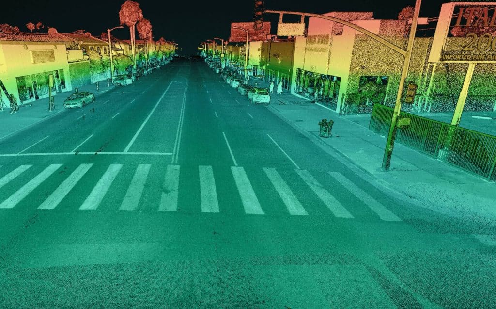
Kory highlights the new mobile data processing features in SpatialExplorer 7, emphasizing its high data density, accuracy, and efficiency. Ideal for applications like roadway design, bridge surveys, and asset inventory, mobile LiDAR mapping offers detailed data collection without lane closures or traffic disruptions.
SpatialExplorer 7 provides comprehensive mobile LiDAR processing with robust automated camera and LiDAR calibration, supporting multiple platforms to integrate mobile and aerial data seamlessly. The software includes mission guidance tools for complete data collection, navigation data processing options, and LiDAR Snap 4 for trajectory optimization.
Camera Snap 2 offers automated calibration of 360-degree imagery from the Ladybug camera, featuring custom mask creation and improved RGB extraction. The software generates various quality control reports, ensuring data accuracy and saving users time.
Corey demonstrates a mobile processing workflow in Spatial Explorer 7, covering trajectory clipping, point cloud generation, and calibration. The video concludes with examples of point cloud optimization and classification.
In the Q&A session, Kory and Dr. Ben Adler discuss the capabilities of Phoenix LiDAR’s systems, their applications, data processing options, and integration with other tools. They also highlight the flexibility of Spatial Explorer 7 in handling various data types and supporting different coordinate systems.
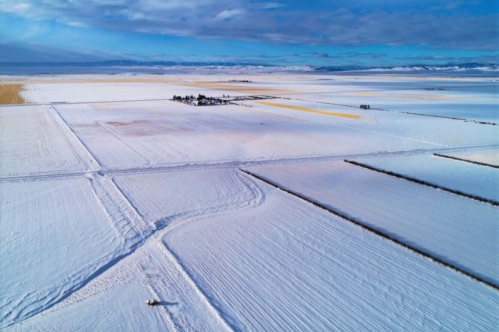
The December 2021 Phoenix LiDAR Systems webinar focused on LiDAR snow surface mapping for NASA’s SnowEx program. Jeff Rizza from DJ&A detailed a 2021 snow surface mapping project using high-resolution drone LiDAR to capture data in Montana’s prairie biome. Highlighting his experience with UAVs and LiDAR, Jeff discussed DJ&A’s collaboration with NASA and Montana State University to improve snow data collection methods.
The webinar covered Phoenix’s LiDAR systems, cold-weather challenges, and innovative survey methods for accurate snow surface mapping. Jeff showcased data insights on snow dynamics influenced by wind and vegetation and discussed processing challenges using Phoenix’s SpatialExplorer and Terascan software. The Q&A session addressed equipment, data processing, and unique SnowEx project aspects. Jeff also previewed an upcoming white paper comparing LiDAR and photogrammetry, highlighting LiDAR’s advantages in vegetation-dense areas.
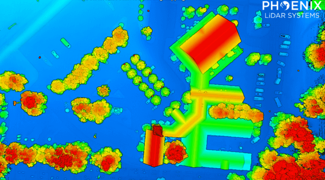
Join Phoenix LiDAR Systems’ November 2021 webinar as we evaluate entry-level LiDAR systems for 2022, featuring the Recon A, Recon XT, and MiniRanger. Hosted by Conrad Conterno, this webinar offers an in-depth look at Phoenix’s custom mapping solutions, including hardware, support systems, processing software, and technical guidance.
Discover key attributes of LiDAR data quality such as precision, relative accuracy, and absolute accuracy, and see their impact on data evaluations. We compare data from three flights, showcasing each entry-level LiDAR system’s capabilities through visual and statistical analyses. Results reveal high-quality data from all three systems, each with unique precision levels and application suitability.
Explore factors influencing data quality, including laser intrinsic quality, pulse interaction with targets, and data processing workflows. Gain insights into vegetation penetration and utility infrastructure mapping, highlighting each scanner’s strengths.
The Q&A session addresses the advantages of different systems for applications like linear transmission line mapping and vegetation penetration. Learn why selecting the right LiDAR system depends on your specific use case, budget, and desired outcomes. Phoenix LiDAR Systems offers a range of sensors, providing unbiased recommendations tailored to your needs.
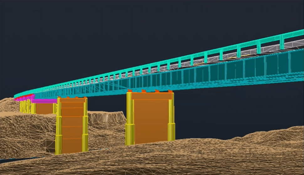
In the July 2021 Phoenix LiDAR Systems webinar, Senior Geomatics Engineer Kory Kellum discussed aerial surveys with high-performance LiDAR technology. Phoenix LiDAR Systems, based in Austin, Texas, specializes in custom UAV LiDAR solutions. The webinar highlighted the practical applications of UAV-based LiDAR in aerial surveying and engineering through insights from Pape-Dawson Engineers, Angela Livingston, and David Trotter. They shared their use of the Phoenix Ranger with the VUX1 UAV scanner, emphasizing benefits like high-resolution data, speed, vegetation penetration, and access to difficult sites.
The webinar covered workflows from site assessment to data processing, showcasing detailed and accurate point clouds for extracting data products like contours and infrastructure details. Examples included aerial survey mapping a railroad bridge and a riverbank. The Q&A session addressed flight planning, check shots under canopies, and data processing software.
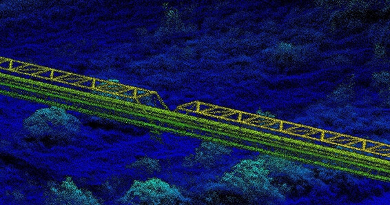
Join the May 2021 Phoenix LiDAR Systems webinar, hosted by Senior GIS Engineer Ira Monkfold, as he dives into survey-grade calibration and accuracies from point cloud data. This insightful session focuses on the LiDAR Snap 4 calibration tool within the SpatialExplorer software. Learn about the essential requirements for achieving precise point cloud data and how Phoenix LiDAR Systems can help you create survey-grade data effortlessly.
Ira explains the critical importance of precise system calibration, covering accurate measurements of lever arms and the alignment of laser, GNSS, and IMU components. He highlights the necessity of mission-specific optimization to address in-flight anomalies, ensuring data accuracy. The integration of surveyed ground control points is emphasized as a vital step for achieving geospatial accuracy, with LiDAR Snap 4 providing comprehensive calibration and reporting tools.
LiDAR Snap 4 revolutionizes the calibration process by combining multiple steps into a single, user-friendly software interface, significantly reducing complexity and time. The software features advanced capabilities such as encoder calibrations and trajectory optimizations, offering users reliable survey-grade point cloud data. The webinar also includes a Q&A session, addressing software capabilities, processing times, and compatibility with various LiDAR systems and platforms.