Resource Type
Industry
Product Group
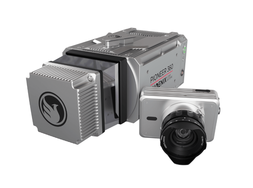
The PIONEER-360 is New and Improved!
The best-in-class universal survey grade LiDAR mapping system
The PIONEER-360 is the tool of choice for UAV and Mobile applications where there is no room for compromise in data quality. With a beam divergence of only 0.3 mrad, this system is designed for precision and confidence.
The PIONEER-360 supports selectable pulse repetition rates up to 500 kHz and line scan speeds up to 250 lines/second, allowing it to be optimized for various application and data requirements. A quick release system can accommodate a removable high-resolution, light-weight 61 MP camera.
Benefits:
- Most narrow beam divergence of any Phoenix LiDAR system for superior ground detection and canopy penetration
- Even point distribution at higher vehicle speeds
- Price and performance closes the gap between MiniRANGER and RANGER series systems
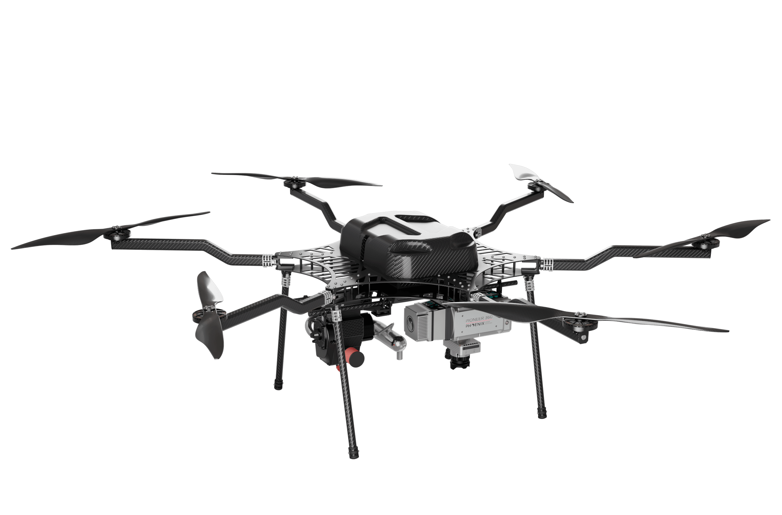
- Highly adaptable – capable of UAV, mobile, and backpack applications

Specifications:
- Narrow beam divergence of <0.3 mrad 1/e
- Shot-to-shot precision of <1cm for survey applications
- Up to 4 returns
- Laser Range: 290 m @ 20% Reflectivity
- Scan Rate: Up to 500 kHz
- Weight: 4.9 kg / 10.8 lbs including camera
- Scan speed of 250 lines per second
- 61 MP camera (optional)
PIONEER-360 is Mobile Mapping Compatible!
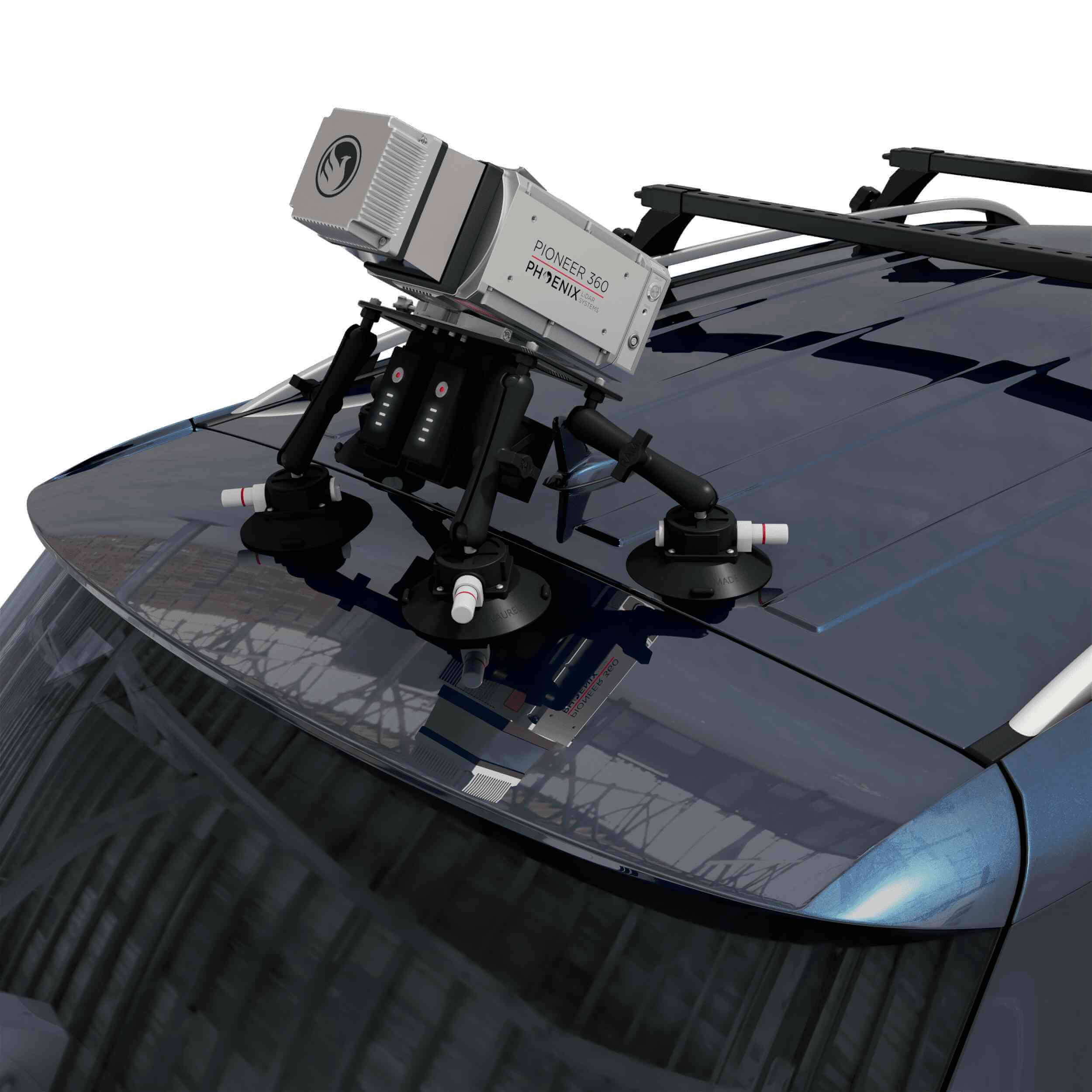
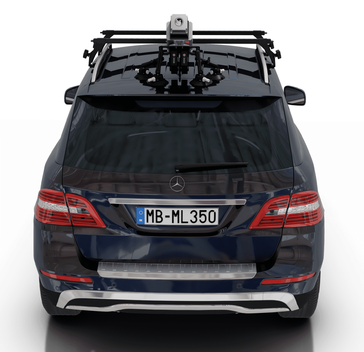
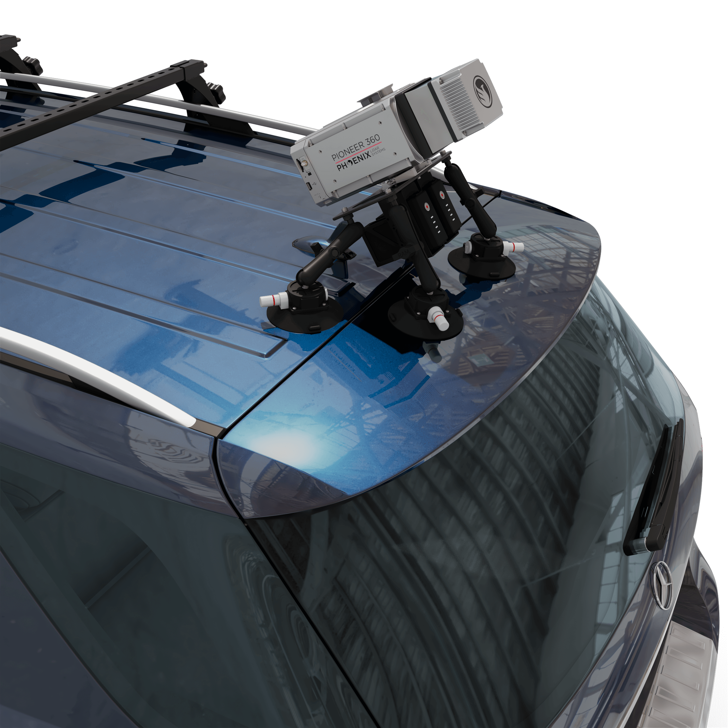
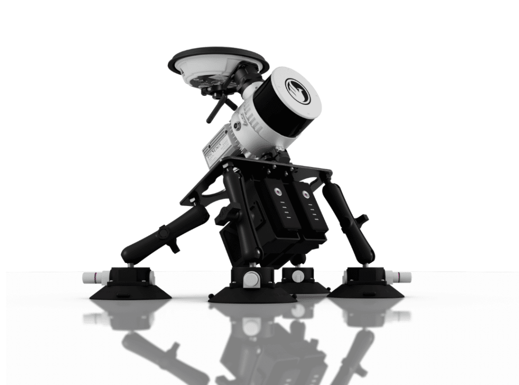
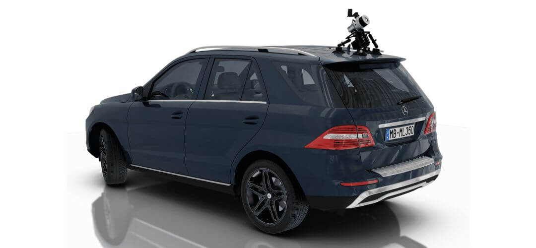
RECON-XT Now Mobile-Mapping Compatible with the Release of Our Universal Suction Mount!
Does your LiDAR system work seamlessly between UAV and mobile mapping-applications? The RECON-XT does. Why choose?
The RECON-XT is a breakthrough technology in complete LiDAR solutions. The system is capable of survey-grade accuracies, dense vegetation penetration, while retaining a minimalist, light-weight profile. While initially designed for seamless integration with the DJI M300 RTK airframe, Phoenix LiDAR Systems has made the RECON-XT compatible with a wide array of commercially available UAV.
Now, with the introduction of the Mobile Mapping Kit for RECON-XT, users can take their system from air to ground vehicle in a matter of minutes, giving operating teams the ability access to more data, more applications, and more versatility than ever before.


Request More Information
When coupled with Phoenix Software LiDARMill and Spatial Explorer software, users can take advantage of industry leading data processing functions that drive automated workflows, quality control, reporting, deliverables, and remote viewing capabilities to even the most novice of LiDAR users.
If you’re looking for an accurate, fast, lightweight, and versatile LiDAR system that is dependable and easy to use, the RECON-XT is one of the best choices available. We invite you to take a look at the sample data here, and contact our team for more information.
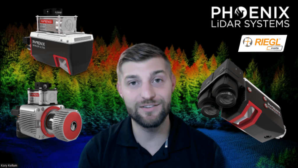
In this video, Kory Kellum from Phoenix LiDAR Systems discusses selecting the right tool for high altitude LiDAR mapping, focusing on the Ranger series. Phoenix LiDAR Systems offers the Ranger XL, Ultra, and Ranger LR, which excel in long-range capability, precision, accuracy, and point density. These systems are the lightest and highest performing on the market, capable of a 1.5 megahertz measurement rate, over a 750-meter range on 20% reflectance targets, and can produce up to 15 returns per pulse, meeting USGS quality level zero specifications.
Kory details the similarities of the Ranger systems, including their weight, performance, and compatibility with UAVs and crewed aircraft, before exploring their differences and specific use cases. The Ranger XL is ideal for high altitude mapping with a wide field of view and fast data acquisition, making it perfect for high point density corridor mapping such as power line, railway track, and pipeline inspection. It has the longest range in the Ranger lineup, suitable for high altitude projects with fixed-wing or rotorcraft.
The Ranger Ultra combines weight, range, accuracy, and pulse rate with a unique forward and rear-looking field of view to minimize laser shadowing. It features a three-faceted mirror for improved vertical surface mapping and is ideal for UAV-based high point density corridor mapping projects requiring precision and accuracy.
The Ranger LR is the most adaptable, designed for demanding mapping applications with a 360-degree field of view, making it compatible with mobile, UAV, and helicopter-based mapping. It can penetrate dense vegetation and offers unparalleled versatility.
Kory emphasizes that the Ranger series provides turnkey solutions for various mapping needs, whether for wide area, corridor, or adaptable mapping applications. He encourages viewers to like, subscribe, and contact the sales team to find the right tool for their specific needs.
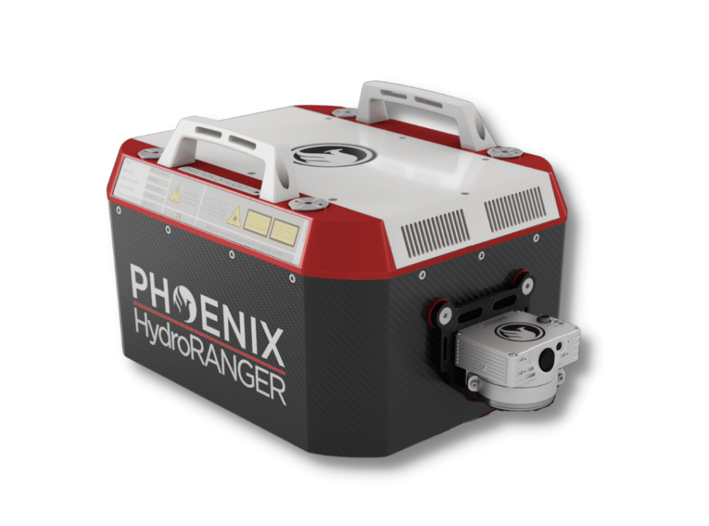
Now more than ever, there is an urgent need for consistent bathymetric mapping in highly dynamic coastal shorelines. To fulfill this industry-wide need, Phoenix LiDAR Systems has decided to offer the ultimate high-resolution land/water interface mapping solution!
Near-shore topobathymetric digital elevation models are essential for navigation and ocean science and imperative for a wide range of applications; from studying the effects of climate change and generating hydrodynamic models to creating nautical charts and assisting in coral habitat conservation.
The Phoenix LiDAR HydroRANGER provides dual purpose topographic and bathymetric measurements for full scene mapping of shoreline systems. Utilizing a visible green spectrum laser with an elliptical scan pattern and measurement rates up to 200 kHz, the HydroRANGER provides a combination of high spatial resolution and spatial accuracy. Capable of reaching beyond 2 Secchi depths, this is the ideal solution for mapping land-water interface environments along rivers, reservoirs, oceans and more!
Watch the HydroRANGER in Action
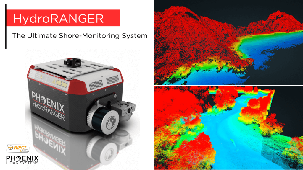
The Ultimate Shore Mapping LiDAR Solution – Phoenix LiDAR Systems’ HydroRANGER
The HydroRANGER is an evolution of mapping technology. This airborne topo-bathymetric (ATB) system provides dual purpose topographic and bathymetric measurements for full scene mapping of shoreline systems. Utilizing a visible green spectrum laser with an elliptical scan pattern and measurements rates up to 200 kHz, the HydroRANGER provides a combination of high spatial resolution and spatial accuracy. Capable of reaching beyond 2 Secchi depths, this is the ideal solution for mapping land-water interface environments, rivers, reservoirs, oceans, and more!
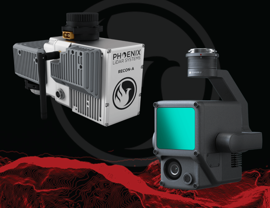
Join Kory Kellum, Senior Software Engineer at Phoenix LiDAR Systems, as he explores the advanced capabilities of Phoenix LiDAR’s mapping technology in their May 2022 webinar. Phoenix LiDAR specializes in compact, adaptable, survey-grade systems for various platforms like UAVs, cars, and backpacks, and offers robust post-processing software, including LiDARMill and SpatialExplorer Pro.
Phoenix LiDAR, based in Austin, Texas, contrasts with DJI’s recent entry into the LiDAR market. Phoenix offers comprehensive solutions, ensuring high-quality data acquisition and processing, supported by robust customer service. The Recon A system, with its superior APS-C camera sensor and vibration dampening kit, is compared to DJI’s Zenmuse L1, which is limited to the Matrice 300. The Recon A’s IMU is notably more accurate, reducing drift and improving data reliability.
Phoenix LiDAR’s LiDARMill offers advanced features like flight line splitting, ground control adjustments, AI classification, and detailed QC reports, which are not available in DJI’s Terra Pro. This comprehensive processing capability ensures high accuracy and quality in deliverable data products. A comparative analysis of data from DJI’s L1 and Phoenix LiDAR’s Recon A showcases significant differences in accuracy and precision. The Recon A system demonstrated superior performance, particularly in terms of reducing warping and improving overall data quality.
For those seeking accurate, high-quality LiDAR solutions, Phoenix LiDAR Systems provides a superior alternative with extensive support and advanced features.
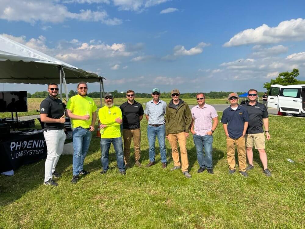
AltaFest May 19, 2022︱Mullica Hill, NJ
Thank you to the Freefly team for inviting us to present at this year’s first annual AltaFest! It was an honor to present alongside a variety of industry professionals, and show how Phoenix LiDAR Systems’ empowers the end user to collect the highest quality LiDAR data, with real-time quality control checks in the field. The user gets a friendly solution that instils confidence and eliminates the need for costly remobilization down the road.
We followed up the data acquisition demo, visualizing the colorized/classified pointcloud collected from the scan site processed in SpatialExplorer7 Pro – a great desktop based option for post-processors looking to process data without an internet connection. SE7 Pro makes it quick and effortless to take cross sections to view vegetation penetration, and make accurate measurements.
Transitioning to the presentation, our team covered the different solution tiers we offer, from the RECON series to the RANGER series, our acquisition best practices, and the post-processing workflows available using SE7 Pro and our cloud-based LiDARMill platform for a more automated processing experience.
Overall, the event was a complete success and we are already looking forward to the next one!
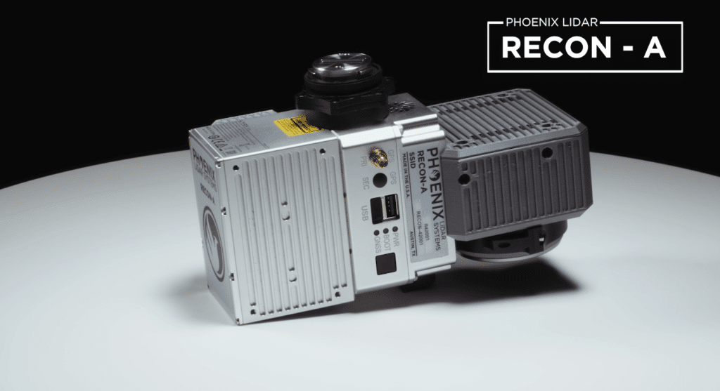
The Phoenix RECON-A is the premier solution for reconnaissance mapping missions, including vegetation encroachment on powerlines. This all-in-one payload offers user-friendly operation and efficient data collection at a competitive price point. The RECON-A enhances point cloud density with its multi-pattern laser, effectively capturing even the lowest reflective points. Additionally, the integrated 24 MP high-resolution camera shares the same field of view as the LiDAR sensor, ensuring optimal RGB colorization of the point cloud.
Explore available Phoenix LiDAR Systems to see how the Recon-A compares with other LiDAR systems.
XPONENTIAL Apr. 24-28, 2022︱Orlando, FL
Our team could not have been more excited to make the return to AUVSI XPONENTIAL this year! We showcased our new integration kits, which included the DJI M600 Pro for the RECON Series as well as the DJI M300 Airframe paired with the MiniRANGER-3 Lite.
The new M300 Pro + RECON integration kit combines the power of the skyport adapter with custom vibration isolation allowing the RECONs’ to be integrated on any standard 12mm rails. M300, M600, Harris Aerial H6, Skyfront Perimeter 8, PRISM?… no problem! A strong fit for teams on a budget – The RECON solutions are designed to grow and adapt with your business. These all-in-one payloads offer ease of use and efficient data collection all at an affordable price point.
With the MiniRANGER-3 Lite + M300 integration, we combined Riegl industry leading laser precision with the ubiquitous M300 airframe, and topped the solution off with Phoenix LiDAR Systems’ renowned real-time 3D data visualization software. This package provides the next generation of mapping professionals with a compact and cost-effective tool that leverages the highest number of target echoes per laser shot offered by any M300 payload.
We enjoyed reconnecting with our partners, colleagues customers during our Wednesday night social event at Bahama Breeze. A BIG thank you to everyone who attended! We hope you enjoyed your time networking and had a great evening.
Xponential 2022 boasted an impressive display of technological advancements of uncrewed and autonomous systems. We were thrilled to have had the opportunity to collaborate and provide leading LiDAR solutions to those within the industry.