Transportation
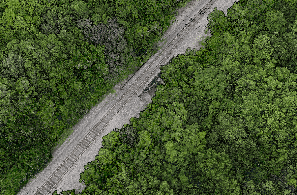
Point Density: 473 points per m^2
Height: 60 m AGL (approx.)
Speed: 6 m/s
Data Acquisition Time: 8 minutes
Point Density: 9200 points per m^2
Height: 20 m AGL
Speed: 6 m/s
Data Acquisition Time: 10 minutes
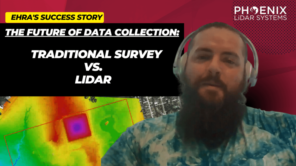
Explore the transformative role of LiDAR technology in urban development through EHRA’s use of the Mini-Ranger LiDAR system. This video highlights how EHRA, a leading engineering firm, utilizes drone LiDAR to revolutionize urban planning and project management.
The Mini-Ranger system, acclaimed for its precision in terrain and vegetation data collection, enables efficient project execution and detailed site analysis, ensuring cost-effective management and enhanced flood prevention strategies.
Join Aaron Kelsey, EHRA’s Senior Survey CAD Tech and Drone Program Manager, as he discusses the system’s capacity to survey extensive areas swiftly, reducing both time and labor costs significantly.
The reliability and high-quality data collection of the Mini-Ranger system have proven essential in multiple large-scale projects, supported by the excellent customer service from Phoenix LiDAR.
This session also covers the evolution from traditional survey methods to advanced LiDAR technology, underscoring its accuracy and the objective data crucial for drainage studies and boundary surveys. Celebrate Phoenix LiDAR’s decade of innovation and discover how their technology is pivotal in advancing urban engineering practices.
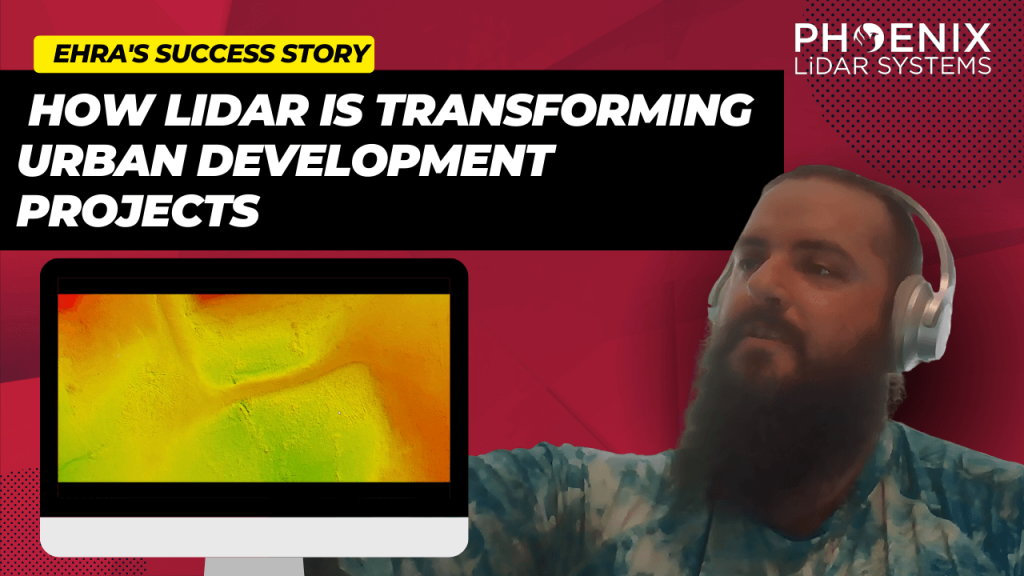
Discover the revolutionary impact of LiDAR technology in urban development with EHRA’s utilization of the Mini-Ranger LiDAR system. In this video, learn how EHRA, a leading engineering firm, leverages drone LiDAR for advanced urban planning and project management.
The Mini-Ranger system is celebrated for its precision in terrain and vegetation mapping, facilitating rapid and accurate data collection that drives efficient, cost-effective project outcomes.
Join Aaron Kelsey, EHRA’s Senior Survey CAD Tech and Drone Program Manager, as he discusses the system’s transformative effects on large-scale surveying—reducing both time and labor costs significantly. He also highlights its crucial role in flood prevention by providing detailed elevation data for effective drainage and water flow management.
The video also explores the evolution of surveying from traditional methods to cutting-edge GPS and LiDAR technologies, enhancing the reliability of data collection. With Phoenix LiDAR’s support, EHRA continues to push boundaries in urban engineering, making significant strides in project accuracy and efficiency.
Discover the groundbreaking impact of LIDAR technology in urban development with EHRA’s innovative use of the Mini-Ranger LIDAR system. In this insightful video, we delve into how EHRA, a leading engineering firm, leverages the power of Drone LIDAR and the MiniRanger system to revolutionize urban planning and project management.
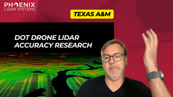
This video features Professor Michael Starek from Texas A&M University-Corpus Christi, as he discusses the innovative use of drone LiDAR technology by geomatics students to map and protect coastal habitats.
Through a detailed interview, Professor Sterk explains how they employ Phoenix LiDAR systems, including the high-end Ranger LR and the cost-effective Recon XT-A, to accurately measure microtopographic changes in sensitive wetland areas.
These drone-based systems provide crucial data for understanding coastal erosion, vegetation dynamics, and the impacts of sea level rise, with a focus on precision and the ability to capture minute changes in terrain that are vital for environmental monitoring and conservation.
The video highlights the practical applications of LiDAR in geomatics, demonstrating its significance in environmental science and the advantages of using drones over traditional aircraft for detailed and localized data collection. Professor Sterk emphasizes the career opportunities in geomatics, noting the high demand for trained professionals in this growing field.
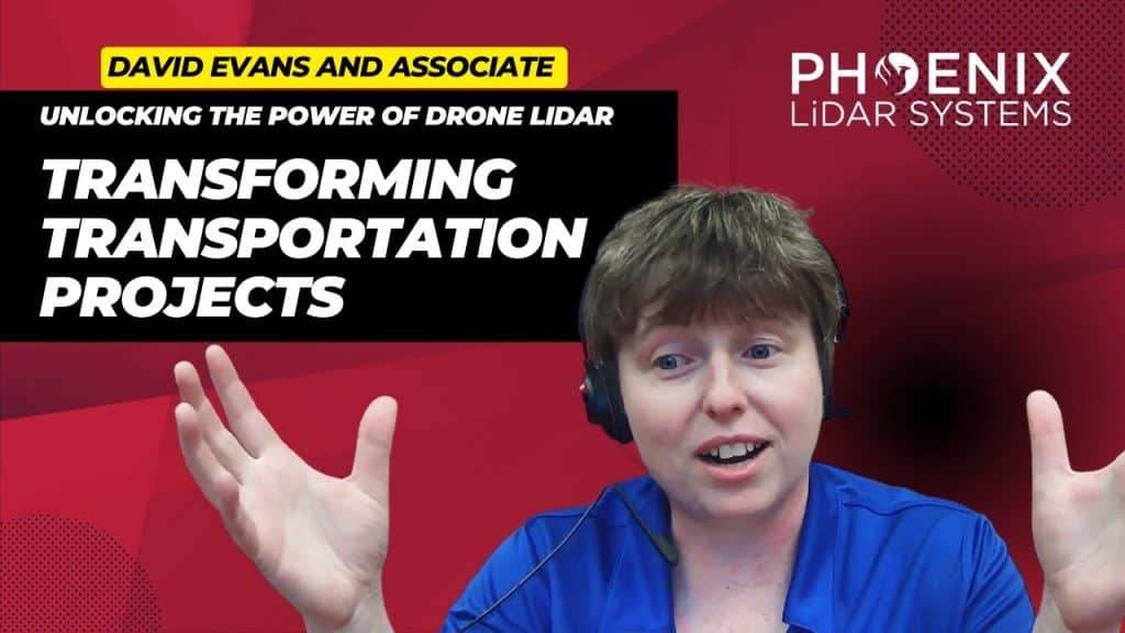
Explore the transformative impact of Drone LiDAR technology in revolutionizing transportation infrastructure and environmental restoration. This video delves into how high-precision LiDAR mapping is becoming essential in transportation projects, enhancing accuracy in capturing topography and uncovering hidden utilities for better planning and execution.
Featuring real-world applications from industry leaders like David Evans and Associates, and hydrological projects led by Evan Radford, the video highlights the wide-ranging benefits of this technology.
Discover how Drone LiDAR reduces workload, improves safety for field crews through aerial scanning with drones and helicopters, and accelerates data collection. We also discuss the integration of aerial scanning with ground surveying to ensure unparalleled data accuracy and detail, crucial for comprehensive project success.
Additionally, we examine the role of advanced LiDAR software tools, like strip matching, in ensuring data quality and precision. This exploration is designed to equip professionals across industries with insights into the capabilities and advantages of Drone LiDAR technology in transforming transportation planning and environmental efforts.
Unlocking the Power of Drone LiDAR: Transforming Transportation Projects. The world of transportation infrastructure is undergoing a profound transformation, and at the heart of this revolution is Drone LiDAR technology. This groundbreaking innovation is fundamentally reshaping the way we approach transportation projects, providing unparalleled precision and accuracy in high-precision mapping. In our comprehensive exploration, we delve into the captivating realm of Drone LiDAR. We start by unraveling the core concepts, introducing you to the technology’s essence, and highlighting why it’s becoming an indispensable tool in various industries.
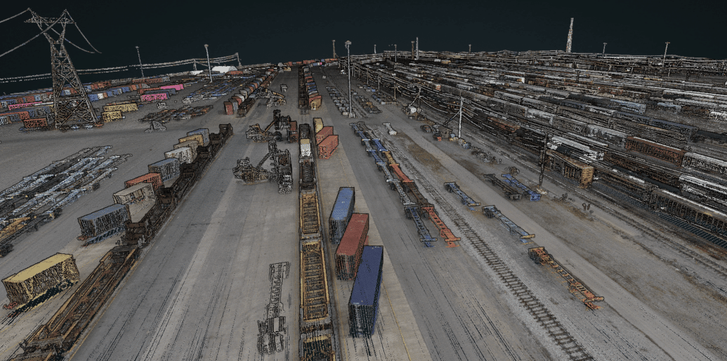
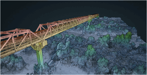
Join Kory Kellum in this insightful Phoenix Lidar Systems webinar featuring experts from CSX and American Rail Engineers (ARE) as they discuss the transformative use of mobile and UAV-based LiDAR in rail applications. Phoenix LiDAR Systems, a leader in commercial UAV LiDAR technology, offers custom LiDAR mapping systems for various platforms. This webinar explores how CSX and ARE leverage these advanced systems for asset inventory, change management, vegetation management, hydrology mapping, and more.
CSX representatives Steve Carmody and Tony Boise share their journey from manual data collection to utilizing mobile LiDAR units (Scout 16s) and permanently installed units (HDL 32s), significantly enhancing efficiency and safety. They also discuss plans to expand their capabilities with aerial LiDAR for complex environments like railroad yards.
ARE experts Steven Ushak, Taylor Engel, and Sam Johnson highlight their successful use of the Mini Ranger system for projects such as coastal resilience studies and PTC vegetation cutback planning. They emphasize LiDAR’s ability to penetrate vegetation and collect data in challenging conditions, including nighttime operations, and discuss future upgrades to larger systems for broader coverage and higher resolution.
The webinar underscores the critical improvements LiDAR technology brings to the rail industry, showcasing various applications and the potential for further advancements with aerial LiDAR and beyond visual line of sight operations. Concluding with a Q&A session, the discussion addresses data accuracy, field-to-office workflows, and operational challenges in diverse environments.
We’re excited to announce the release of LiDARMill v2! LiDARMill v2 takes automated post-processing to the next level. In our recent webinar, we covered some of the new improvements and features including:
- Imagery Processing in LiDARMill
- Ground Control Reporting and Adjustments
- Robust Coordinate System Handling
- A Workflow Overview and Demonstration
- Multi-Mission Processing Support
- Advanced Point Cloud Filtering Options
- RGB Thermal & Fusion
- Accuracy Reporting
- Automated LiDAR and Camera Calibration Options
- Near-Real Time (NRT) Reference Station Positioning for Projects Requiring Less Than 24 Hour Turn-around Time
- Trajectory Post-Processing Without Reference Stations
If you have any questions or would like to learn more about LiDARMill v2, please don’t hesitate to get in touch. We’d be happy to help!