
Survey
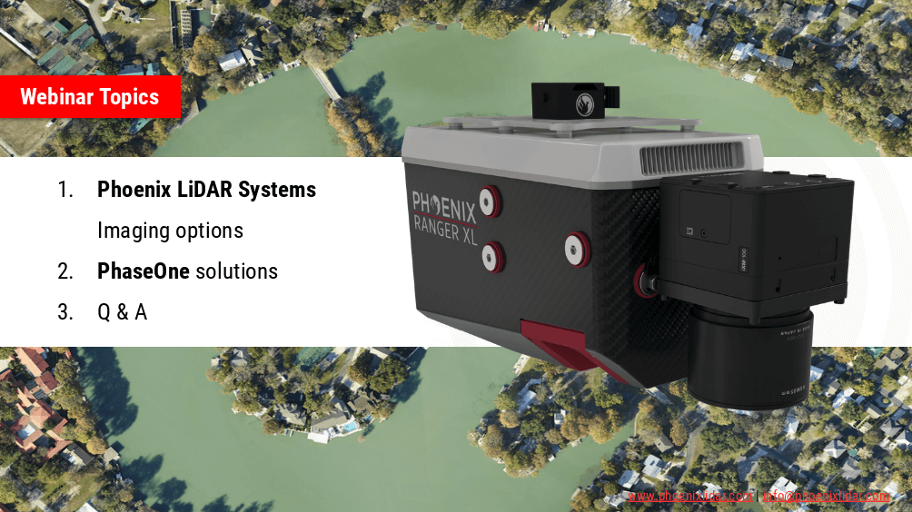
Join the Phoenix LiDAR Systems webinar on advanced imaging systems, held on April 21, 2021. Hosted by Conrad Conterno, Head of Post-Processing, and Justin Wyatt, VP of Sales at Phoenix LiDAR Systems, along with Nick Nelio, Inspection Sales Manager for Phase One, this session dives into how Phoenix LiDAR’s data collection tools integrate with Phase One’s cutting-edge imaging systems to enhance remote sensing capabilities.
Conrad Conterno opens with an overview of Phoenix LiDAR’s custom mapping solutions, emphasizing LiDAR sensor integration for superior data acquisition and analysis. He introduces various advanced camera options, including the lightweight custom A6K Light for UAV-based mapping, dual oblique cameras for enhanced colorization, multispectral solutions for detailed vegetation analysis, thermal mapping cameras for environmental monitoring, and hyperspectral sensors for precise spectral analysis.
Nick Nelio then showcases Phase One’s high-resolution, medium-format cameras, focusing on the 4-band solution that combines RGB and near-infrared imagery, ideal for crop analysis and environmental monitoring. He also presents the Phase One P3 payload for inspection applications and the IX Mach 5 controller designed for efficient geospatial missions.
Throughout the webinar, the benefits of direct geo-referencing and the seamless integration of multiple sensors into single payloads are highlighted. The hosts address audience questions on the accuracy of dual-camera systems, post-processing challenges, and the applications of hyperspectral imaging.
The session concludes with Justin Wyatt and Nick Nelio emphasizing their collaborative approach to delivering tailored solutions and inviting viewers to contact them for personalized consultations.

We’re excited to announce the release of LiDARMill v2! LiDARMill v2 takes automated post-processing to the next level. In our recent webinar, we covered some of the new improvements and features including:
- Imagery Processing in LiDARMill
- Ground Control Reporting and Adjustments
- Robust Coordinate System Handling
- A Workflow Overview and Demonstration
- Multi-Mission Processing Support
- Advanced Point Cloud Filtering Options
- RGB Thermal & Fusion
- Accuracy Reporting
- Automated LiDAR and Camera Calibration Options
- Near-Real Time (NRT) Reference Station Positioning for Projects Requiring Less Than 24 Hour Turn-around Time
- Trajectory Post-Processing Without Reference Stations
If you have any questions or would like to learn more about LiDARMill v2, please don’t hesitate to get in touch. We’d be happy to help!
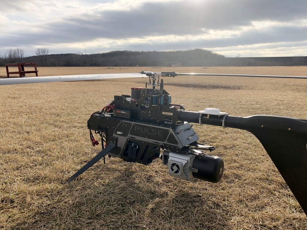
This whitepaper presents the initial results from testing and evaluating a single-rotary Unmanned Aircraft System (UAS) integrated with a long-range, multi-return LiDAR sensor. Conducted at an airfield in South Texas, USA, the study explores the evolving capabilities of miniaturized LiDAR technology and its application in UAS platforms. Compared to traditional airborne LiDAR mapping, UAS platforms offer greater flexibility in flight design, rapid response capabilities, and potentially lower costs for local mapping.
The research focuses on describing the UAS platform and its enabling technologies (LiDAR, IMU, GPS), sensor calibration and initialization processes, and the methods for geospatial surveying, data processing, and analysis. The advantages of LiDAR, such as its pulsed ranging technique and multi-return detection capability, are highlighted, demonstrating its effectiveness in applications like vegetation structure monitoring, obstacle detection, and digital terrain model refinement.
This study underscores the potential of UAS LiDAR systems for fine-scale mapping and various environmental monitoring applications, paving the way for enhanced precision and efficiency in geospatial data collection.
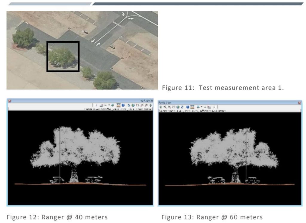
This whitepaper details the calibration testing conducted under task order G17PD01249: Alaska Critical Infrastructure UAV Airfield Obstruction Survey. The Dewberry team, in collaboration with Compass Data and Phoenix LiDAR, performed LiDAR sensor tests for the Kiana and Nulato Airfields. The testing involved the acquisition and post-processing of LiDAR data using two sensors, each flown at two different heights above ground.
The study aimed to assess the sensors’ ability to meet project specifications, including data formatting, LAS point cloud data, smooth surface repeatability, relative accuracy, and intensity values. Additionally, the tests evaluated LiDAR density to determine the optimal sensor and flying height for identifying obstructions, geometric calibration for measurement accuracy and repeatability, radiometric testing for detecting small or low-reflectance obstructions, and measurement consistency across multiple flights.
The findings of this comprehensive testing are documented in this report, providing valuable insights into the performance and reliability of UAV-based LiDAR systems for airfield obstruction surveys.
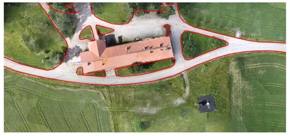
This whitepaper outlines the objectives and results of a test campaign aimed at evaluating the accuracy of point clouds generated by Phoenix LiDAR Systems in a realistic survey mission scenario. The study also tested the performance of Terrasolid software, running on MicroStation CONNECT Edition, for calibrating and enhancing the data.
Data sets were acquired using a Camflight FX8HL UAS platform and pre-processed into trajectory and point cloud files using Phoenix LiDAR Systems software. The findings demonstrate the effectiveness of these technologies in producing accurate and reliable data for various survey applications, highlighting the potential for improved data calibration and processing with the integrated software solutions.
This report provides valuable insights into the capabilities and performance of UAV-based LiDAR systems for high-precision surveying and mapping tasks.