Product
Point Density: 610 points per m^2
Height: 70 m AGL
Speed: 5 m/s
Data Acquisition Time: 26 minutes
Point Density: 1050 points per m^2
Height: 120 m AGL
Speed: 10 m/s
Data Acquisition Time: 3 minutes
Point Density: 115 points per m^2
Height: 330 m AGL (approx.)
Speed: 50 m/s
Data Acquisition Time: 13 minutes
Point Density: 473 points per m^2
Height: 60 m AGL (approx.)
Speed: 6 m/s
Data Acquisition Time: 8 minutes
Point Density: 9200 points per m^2
Height: 20 m AGL
Speed: 6 m/s
Data Acquisition Time: 10 minutes
Point Density: 320 points per m^2
Height: 80 m AGL
Speed: 8 m/s
Data Acquisition Time: 7 minutes
Point Density: 582 points per m^2
Height: 120m AGL (approx.)
Speed: 12m/s (approx.)
Data Acquisition Time: 3 minutes
Point Density: 168 points per m^2
Height: 320m AGL
Speed: 55 knots
Data Acquisition Time: 26 minutes

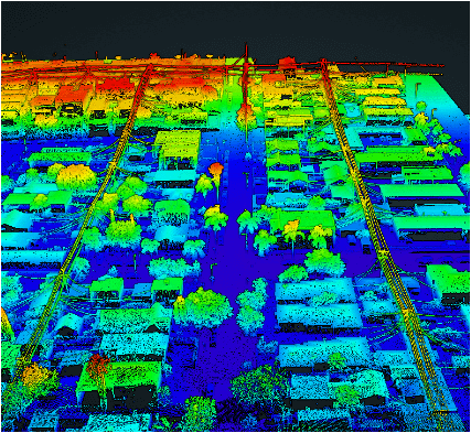
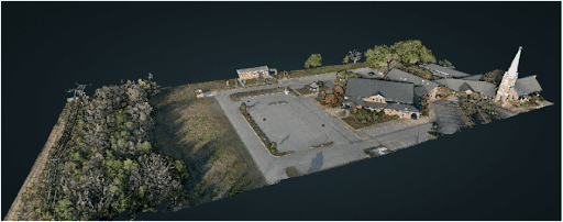
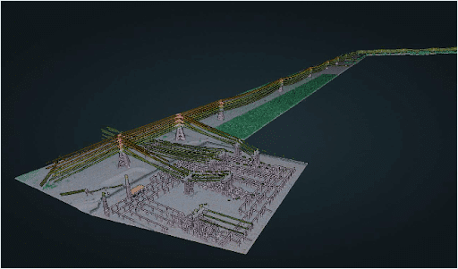
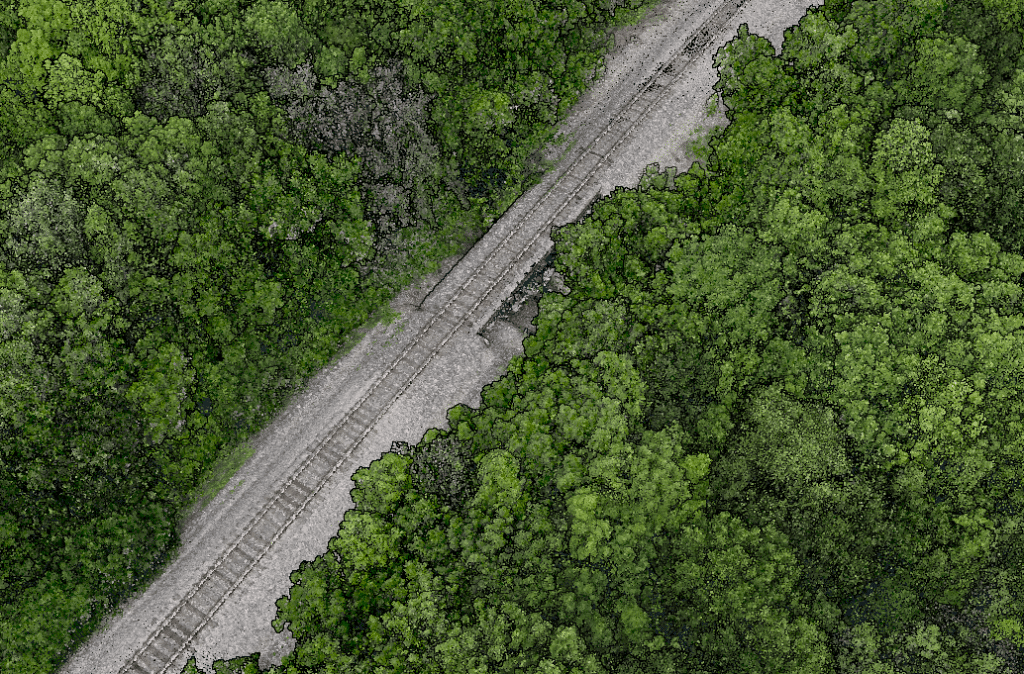
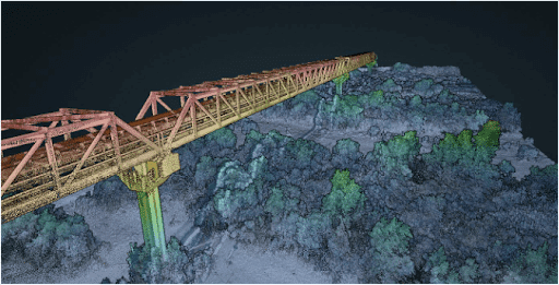
Discover the revolutionary impact of LiDAR technology in urban development with EHRA’s utilization of the Mini-Ranger LiDAR system. In this video, learn how EHRA, a leading engineering firm, leverages drone LiDAR for advanced urban planning and project management.
The Mini-Ranger system is celebrated for its precision in terrain and vegetation mapping, facilitating rapid and accurate data collection that drives efficient, cost-effective project outcomes.
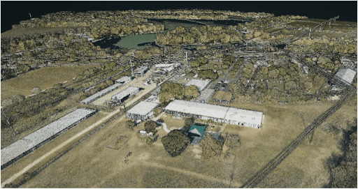
Join Aaron Kelsey, EHRA’s Senior Survey CAD Tech and Drone Program Manager, as he discusses the system’s transformative effects on large-scale surveying—reducing both time and labor costs significantly. He also highlights its crucial role in flood prevention by providing detailed elevation data for effective drainage and water flow management.
The video also explores the evolution of surveying from traditional methods to cutting-edge GPS and LiDAR technologies, enhancing the reliability of data collection. With Phoenix LiDAR’s support, EHRA continues to push boundaries in urban engineering, making significant strides in project accuracy and efficiency.
Discover the groundbreaking impact of LIDAR technology in urban development with EHRA’s innovative use of the Mini-Ranger LIDAR system. In this insightful video, we delve into how EHRA, a leading engineering firm, leverages the power of Drone LIDAR and the MiniRanger system to revolutionize urban planning and project management.