Log In
Login to Phoenix LiDar System
Remember Me

Product

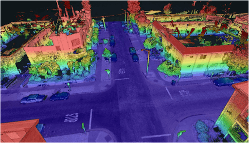
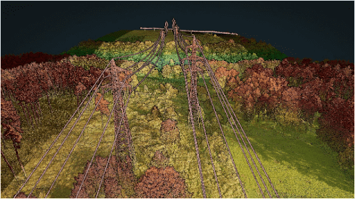
MiniRANGER-3 LITE | Rail

Point Density: 473 points per m^2
Height: 60 m AGL (approx.)
Speed: 6 m/s
Data Acquisition Time: 8 minutes

Download
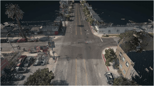
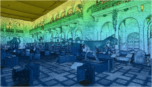
RANGER-LR | Bridge Transportation

Point Density: 9200 points per m^2
Height: 20 m AGL
Speed: 6 m/s 
Data Acquisition Time: 10 minutes

Download
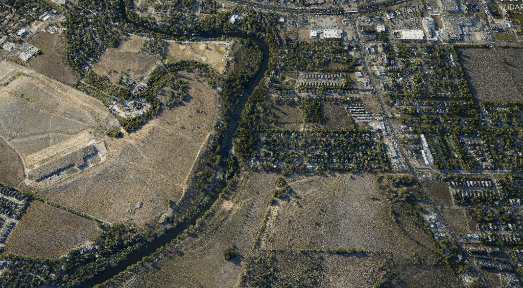
RANGER-LR | Dense Vegetation River Corridor

Point Density: 320 points per m^2
Height: 80 m AGL 
Speed: 8 m/s  
Data Acquisition Time: 7 minutes

Download
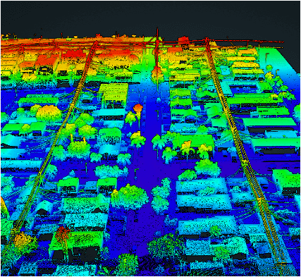
RANGER-U120┃ UAS Mapping Mission

Point Density: 582 points per m^2
Height: 120m AGL (approx.) 
Speed: 12m/s (approx.)  
Data Acquisition Time: 3 minutes

Download
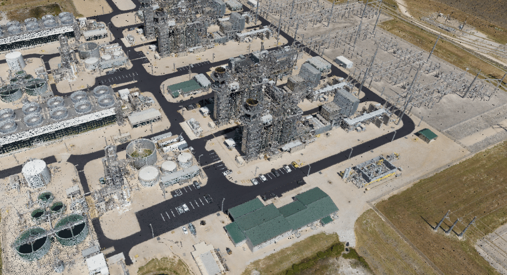
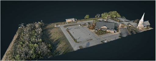
RANGER-XL + 4Band┃Wide Area Mapping

Point Density: 168 points per m^2
Height: 320m AGL 
Speed: 55 knots 
Data Acquisition Time: 26 minutes

Download
Behind the Success of EHRA’s Urban Projects: The Mini-Ranger LIDAR System

Discover the groundbreaking impact of LIDAR technology in urban development with EHRA’s innovative use of the Mini-Ranger LIDAR system. In this insightful video, we delve into how EHRA, a leading engineering firm, leverages the power of Drone LIDAR and the MiniRanger system to revolutionize urban planning and project management.

Download
How the MiniRanger Drone Revolutionizes LiDAR Data Collection in Difficult Terrain

In the ever-evolving world of technology, LiDAR (Light Detection and Ranging) has emerged as a groundbreaking tool, especially in the realm of natural disaster research. The RAPID Facility, an integral part of the Natural Hazards Engineering Research Infrastructure (NERI) network, has been at the forefront of harnessing this technology. Their mission? To support researchers in collecting invaluable data on natural disasters, offering insights that were previously unimaginable.

Download
The Phoenix LiDAR RECON-XT at First Mode’s Centralia Proving Ground

The Centralia Coal Mine in Centralia WA ceased mining operations in 2006 and is moving through phases of reclamation with a long-term reclamation plan to support a wide variety of land uses, including agriculture, industrial, woodlands, wildlife habitat and wetlands. Today the 9800-acre site is very green and teeming with wildlife including deer, elk, and waterfowl. You must look closely at the land to realize this used to be an enormous coal mine.

Download
LiDAR Selection Guide

Are you tired of sifting through endless options and specifications to find the right drone lidar sensor for your needs? Look no further! Our comprehensive selection guide takes the guesswork out of the process, helping you make informed decisions about which sensor is best suited for your project.

Our guide offers a detailed overview of the key features and benefits of various drone lidar sensors, including their range, accuracy, and data output capabilities.

Download