
Resource Type
Industry
Product Group
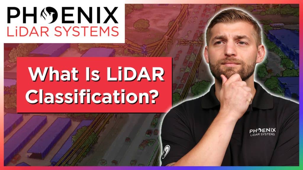
In this video, Kory Kellum from Phoenix LiDAR Systems provides an essential guide on LiDAR classification. In under four minutes, you will learn the fundamentals of LiDAR classification, including its definition, importance, and the best practices for classifying LiDAR data.
Kory explains how each LiDAR point within a point cloud can be assigned a classification code, allowing for easy differentiation between various features such as bare Earth ground and high vegetation. The video covers industry-standard classifications by ASPRS as well as custom classifications for specific project needs.
Discover the best methods for LiDAR classification, including automated, semi-automated, and manual processes, and see how tools like SpatialExplorer and LiDARMill can streamline your workflow. Enhance your understanding of LiDAR data and improve the accuracy of your classifications by watching this informative video.

In this video, Kory Kellum from Phoenix LiDAR Systems addresses a significant challenge faced by surveyors using aerial drone LiDAR systems: aligning LiDAR data with surveyed ground control in the correct coordinate reference system. Kory explains the common issues with low-quality LiDAR software, which often only provides basic options that fail to utilize geoid models for orthometric heights, leading to inaccuracies.
The video highlights the importance of processing LiDAR data using the correct coordinate reference system from the start, emphasizing the need for high-quality LiDAR software like Phoenix LiDAR’s, which offers extensive coordinate reference system options and advanced features. Learn how to achieve the best absolute accuracy for your LiDAR projects by watching this informative video.
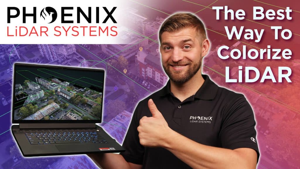
In this video, Kory Kellum from Phoenix LiDAR Systems delves into the importance of accurate LiDAR colorization for creating digital twins. He explains the two main methods available: color draping from orthomosaics and ray tracing techniques. Kory defines key terms, such as orthomosaics, and discusses the pros and cons of each method.
Color draping, while straightforward, often miscolorizes vertical structures and objects. Ray tracing, on the other hand, offers more accurate LiDAR colorization but can be complex without proper tools. Kory recommends using Phoenix LiDAR’s SpatialExplorer and LiDARMill software for the best results, highlighting their advanced ray tracing, color balancing, and seam correction features. Watch the video to learn how to achieve the most precise colorization for your LiDAR projects.
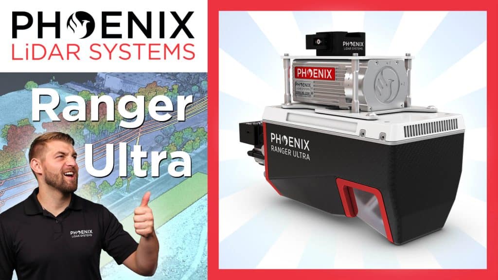
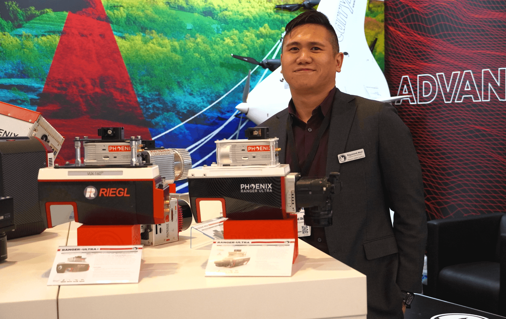
In this video, Kory Kellum from Phoenix LiDAR Systems introduces the Ranger Ultra, the ultimate corridor mapping system. The Ranger Ultra is the lightest payload in the Ranger series, combining lightweight design with high performance. It features a unique three-faceted mirror for improved mapping of vertical surfaces, a 100-degree horizontal field of view, and a fast measurement rate of up to 1.8 million pulses per second.
The Ranger Ultra is ideal for applications like power line, railway, and pipeline monitoring, topography, urban surveying, archaeology, agriculture, and forestry. With its powerful 1550 nanometer laser, it penetrates dense vegetation, providing high accuracy and point density.
The system is 37% lighter than the Ranger XL, extending UAV flight endurance without compromising performance. Suitable for both UAV and helicopter use, the Ranger Ultra ensures precise data collection for demanding aerial mapping projects. Watch the video to learn more about its specifications, performance, and how it can enhance your LiDAR projects.
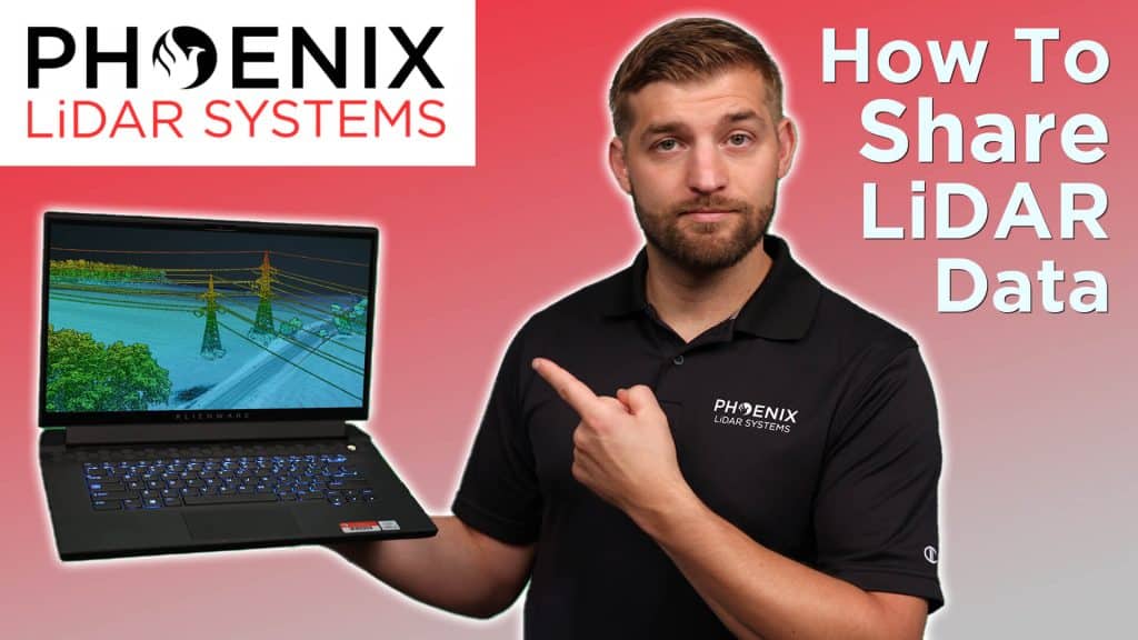
In this video, Kory Kellum from Phoenix LiDAR Systems addresses the challenges of sharing LiDAR data between service providers and end users. He introduces LiDARMill’s Cloud Viewer, a solution that simplifies the process of sharing detailed photorealistic 3D data. Traditional LiDAR data sharing methods can be cumbersome for end users who may lack the software and skills needed to view and navigate LiDAR data efficiently. Cloud Viewer eliminates these barriers by allowing users to share point clouds and geospatial data through a simple URL link, accessible on any device without the need for an account or login.
Kory explains how to use LiDARMill and Cloud Viewer to upload LAS or LAZ files, incorporate ground control points, mission trajectories, and more. Users can customize appearance parameters, create cross-sections, adjust data visualization, and even generate fly-throughs for presentations. The video emphasizes the ease of use and the powerful features of Cloud Viewer, making it an essential tool for surveyors, engineers, and other professionals who need to share LiDAR data effectively. Watch the video to learn how to streamline your LiDAR data sharing with Phoenix LiDAR’s Cloud Viewer and request a free 30-day trial to experience its benefits firsthand.
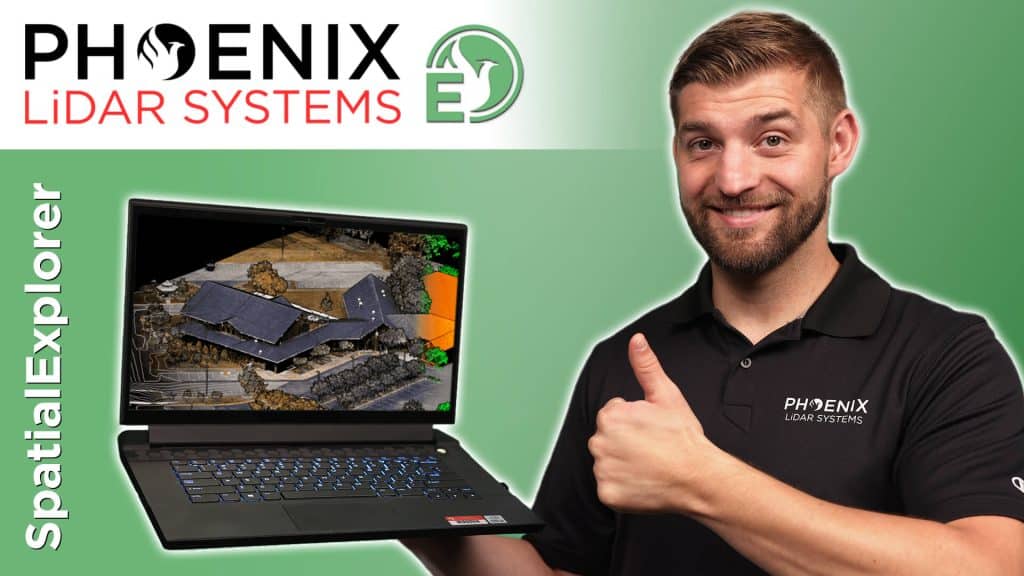
In this video, Kory Kellum from Phoenix LiDAR Systems introduces SpatialExplorer (SE) and its Pro plugin (SE Pro). SE is a powerful desktop software that simplifies LiDAR and image processing. SE Pro includes tools for trajectory processing, LiDAR and camera calibrations, point cloud classification, and generating raster and vector products.
He explains how SpatialExplorer Pro streamlines workflows from selecting a coordinate reference system to post-processing trajectories with NavLab tools. The software allows for precise point cloud creation and refinement, utilizing features like LiDAR Snap for accuracy. It also offers advanced point cloud colorization and classification tools.
SE Pro generates detailed reports and deliverables, saving time for service providers and providing transparency for end users. Additional tools include change detection and application-specific exports. Watch to learn how SE Pro can enhance your LiDAR projects and request a free trial from Phoenix LiDAR Systems.
INTERGEO Oct. 18-20, 2022︱Essen, Germany
INTERGEO is the world’s leading conference trade fair for geodesy, geoinformation and land management. The largest and arguably the most impactful show for those in the Aerial LiDAR mapping space.
Phoenix LiDAR System’s surely left its mark on this year’s exhibition. We introduced a record amount of never-before-seen LiDAR innovations that rocked the industry. NEW payloads, NEW aircraft, and NEW partnerships!

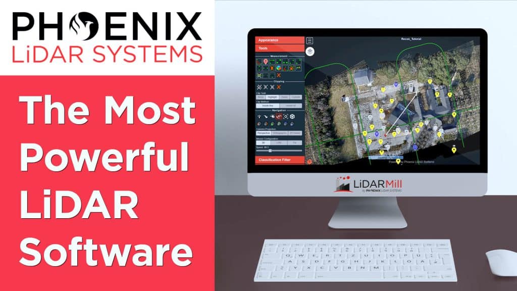
In this video, Kory Kellum from Phoenix LiDAR Systems introduces LiDARMill, a revolutionary cloud-based LiDAR processing software designed to save time and money. LiDARMill automates the entire post-processing workflow, including trajectory post-processing, point cloud classification, colorization, QA/QC reporting, and more.
This video highlights the key benefits of LiDARMill: it is easy to use with an intuitive interface, minimizes hardware and time investment, delivers powerful and accurate results, and simplifies data sharing. The software enables users to visualize, analyze, and share LiDAR data effortlessly through the Cloud Viewer, which can be accessed from any device without needing specialized software.
LiDARMill’s automation capabilities and user-friendly features make it ideal for service providers looking to streamline their workflows and deliver high-quality LiDAR data. Watch the video to learn more about how LiDARMill can enhance your LiDAR processing projects and request a free 30-day trial to experience its benefits firsthand.

In this video, Kory Kellum from Phoenix LiDAR Systems introduces the Ranger-LR, his personal favorite and the most adaptable LiDAR system available. Known as the “universal soldier” of LiDAR mapping systems, the Ranger LR can be used on UAVs, helicopters, and mobile vehicles, offering unmatched versatility for both aerial and ground applications.
The Ranger-LR features the Riegl VUX-1LR22 LiDAR sensor with five-millimeter precision at a 150-meter range and a powerful 1550-nanometer laser that penetrates dense vegetation. It has a maximum range of 1000 meters on 20% reflectance targets and can achieve up to 15 target returns per laser pulse for enhanced vegetation mapping. It collects over 190 points per square meter at 400 feet above ground level from a UAV and over 30 points per square meter at 550 feet from a helicopter.
Ideal for corridor mapping, topography, urban surveying, archaeology, agriculture, and rapid response applications, the Ranger-LR is designed for those seeking a highly adaptable and precise LiDAR system.